PRIZE DRAW
Day(s)
:
Hour(s)
:
Minute(s)
:
Second(s)
Three weekends. Nine of the UK's highest peaks. Three charities that mean the world to me.
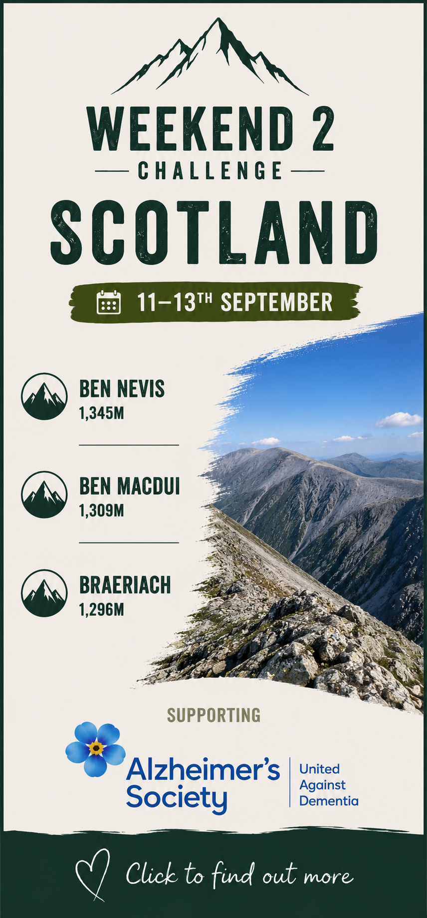
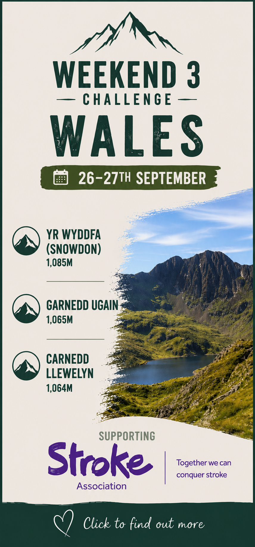
During September I'll climb nine mountains across England, Scotland and Wales to raise money for Maggie's, Alzheimer's Society and the Stroke Association. Click a weekend below to discover the routes, walk stats and charity info.
- Fundraising Progress89.3%
£2677.50 of £3,000 Target

Challenge News...
10.07.26
The 3x3 Peak Challenge page goes live. Watch this space for future updates.
11.07.26
Donations have started coming in already - Thank you for your support!
20.07.26
Kinder Scout Training Walk
Another fantastic day of training in the Dark Peak with my walking buddy, Jayne.
We covered 11 miles with over 2,000ft of ascent, taking on the iconic Jacob's Ladder before reaching the Kinder plateau. We stopped to enjoy our sandwiches and snacks while taking in the incredible views, watched closely by a few curious sheep! The day finished with a tough descent through a steep gully, scrambling over boulders and crossing streams. My knees weren't too impressed by the descent, but it was a brilliant day on the hills and another important step towards September's challenge.
The support for the challenge has been incredible already. Donations are starting to come in, and raffle prizes are arriving too. So far, we've had a fantastic local flight experience pledged, along with wine and some lovely toiletries, with more offers hopefully still to come.
A huge thank you to everyone who has donated, shared the challenge or offered support so far – it really does mean a lot.
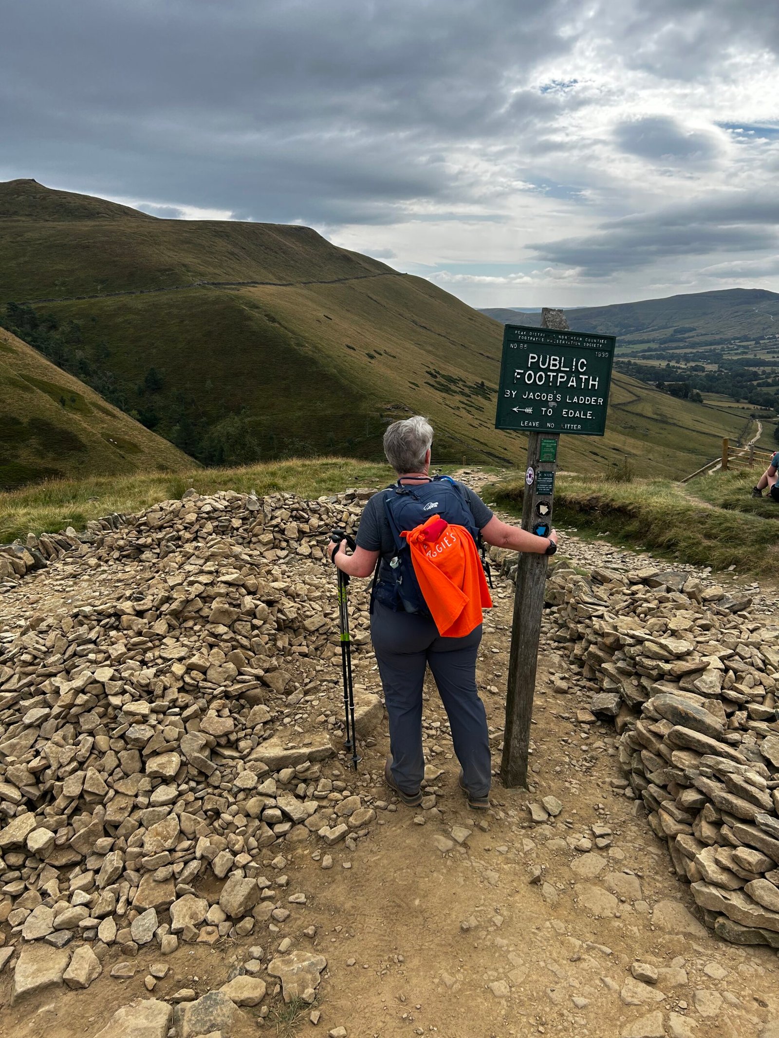
At the top of Jacob’s Ladder
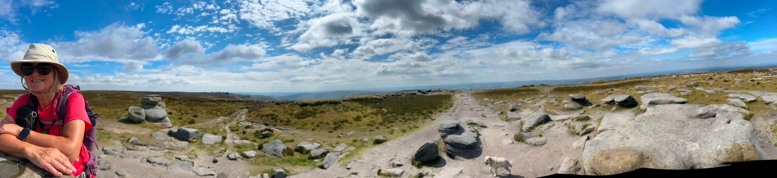
At the Trig Point
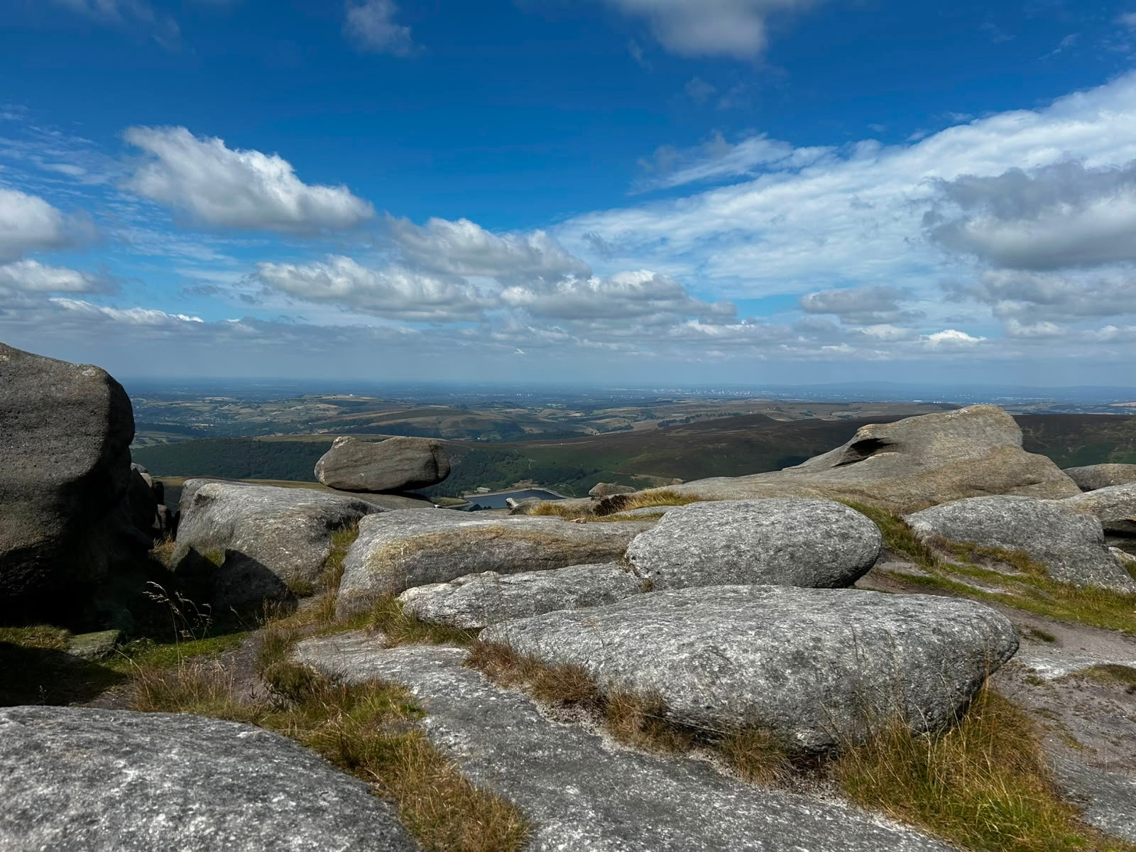
View heading towards Kinder Low
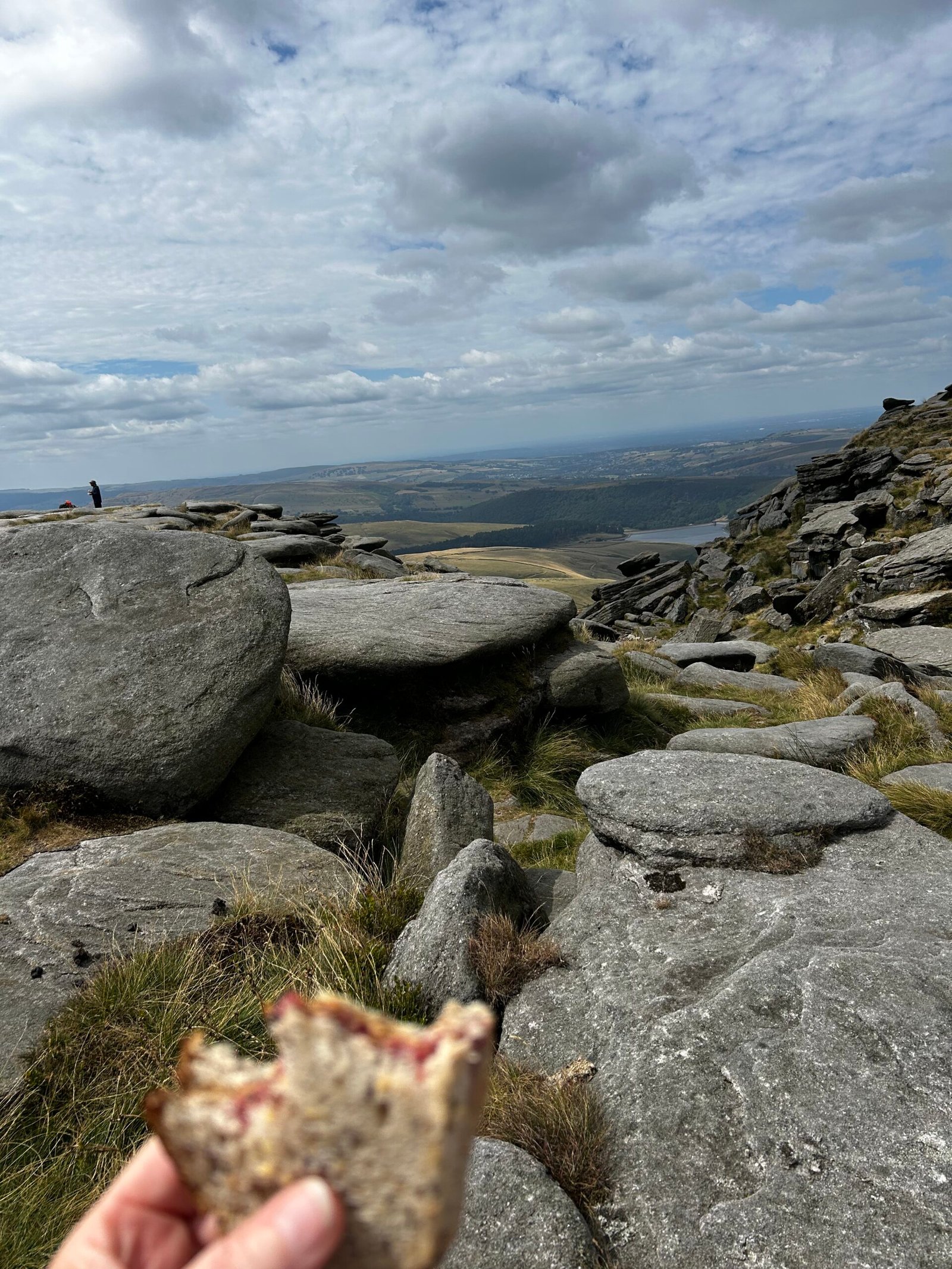
Lunch at Kinder Downfall
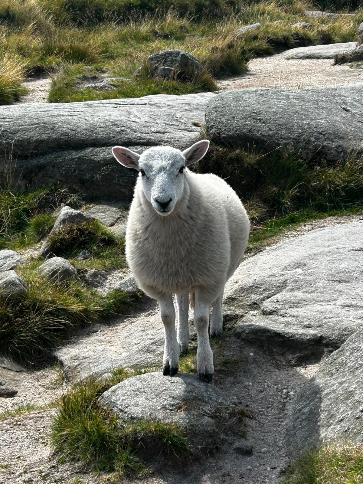
A little friend at Lunchtime
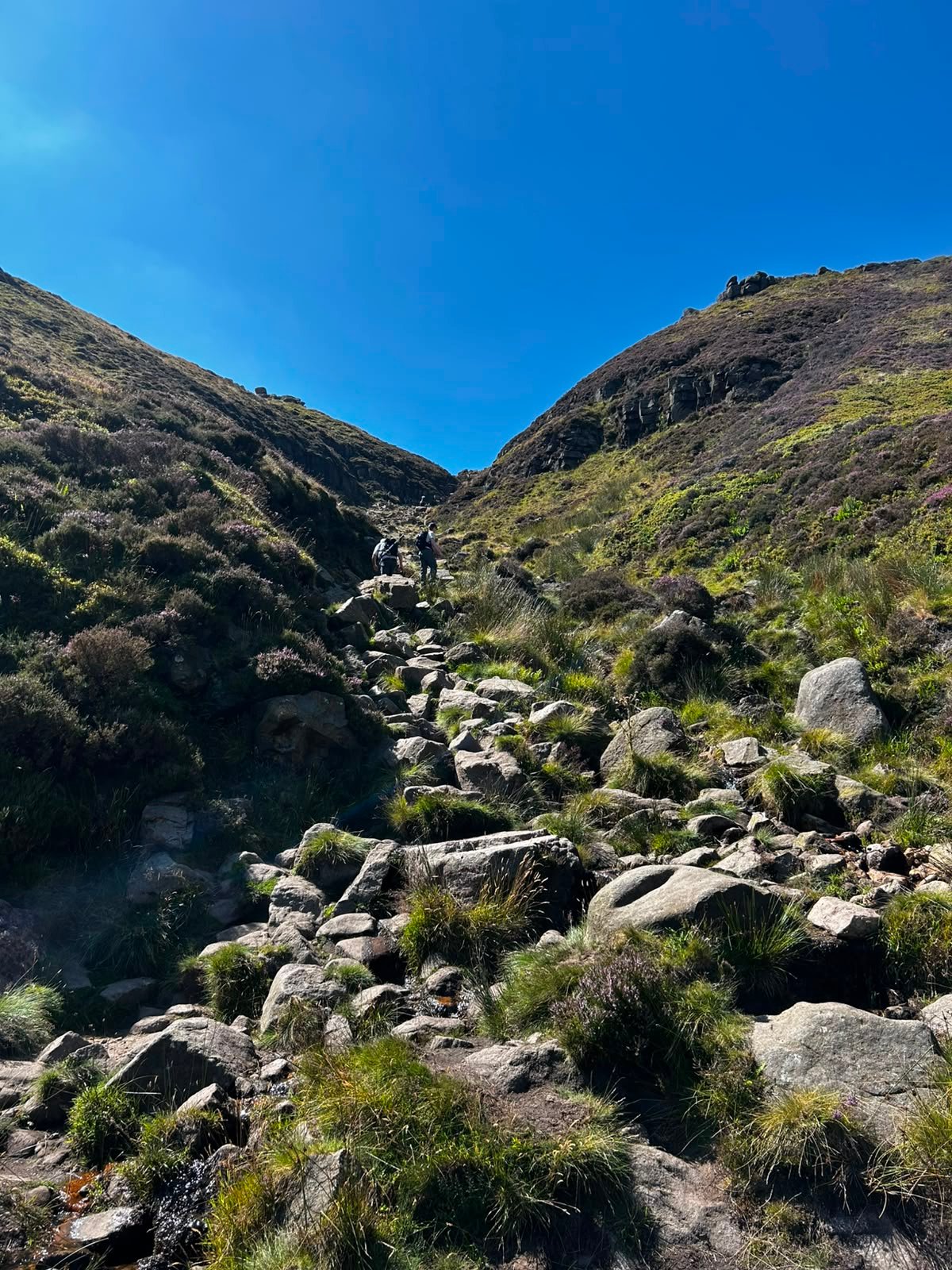
Looking back up Grindsbrook Clough
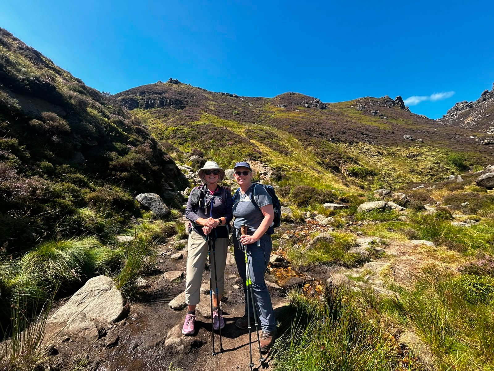
Towards the base of the Clough
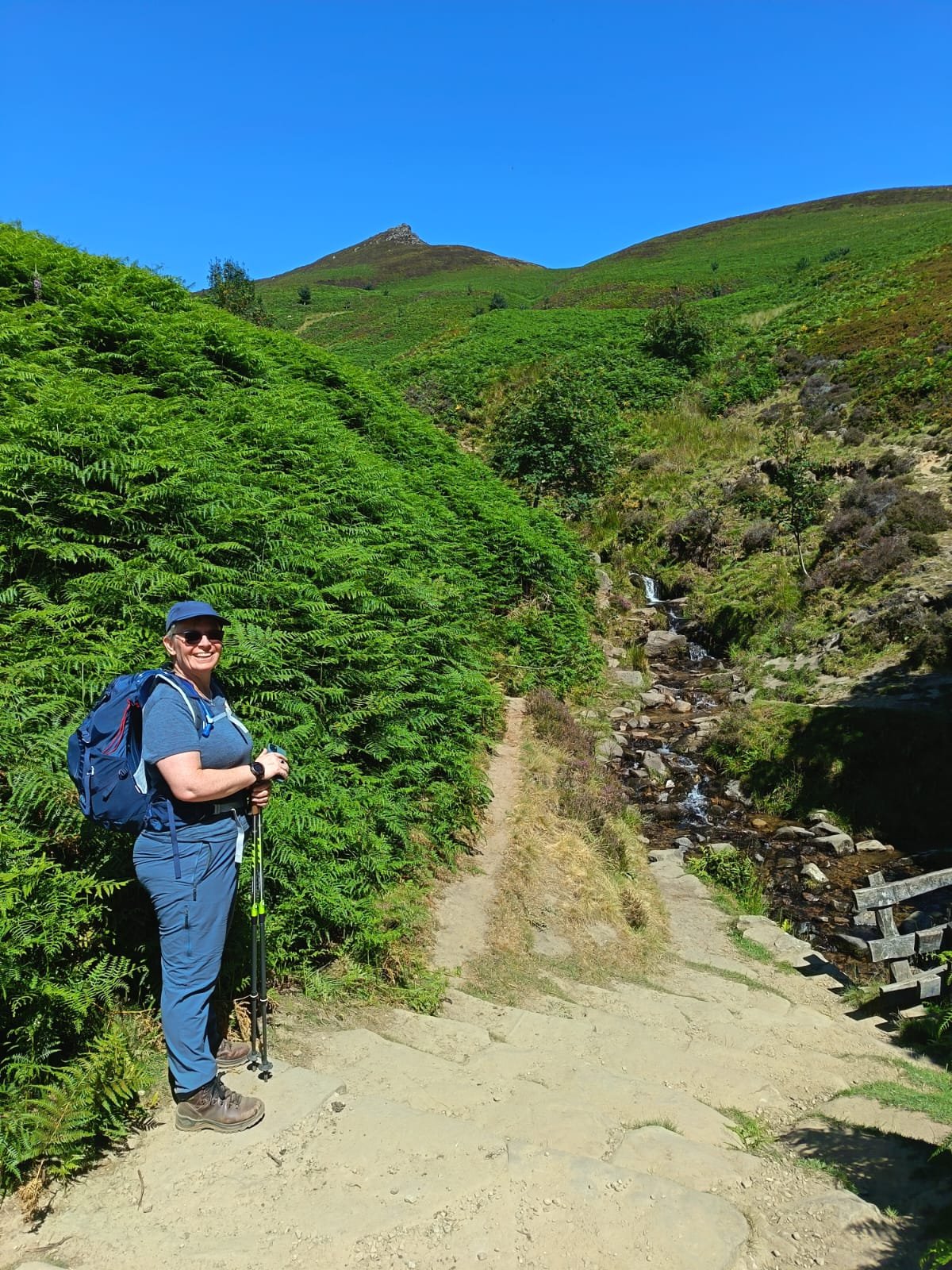
Heading back to Edale
26.07.26
Leicestershire 3 Peaks – A Different Kind of Test
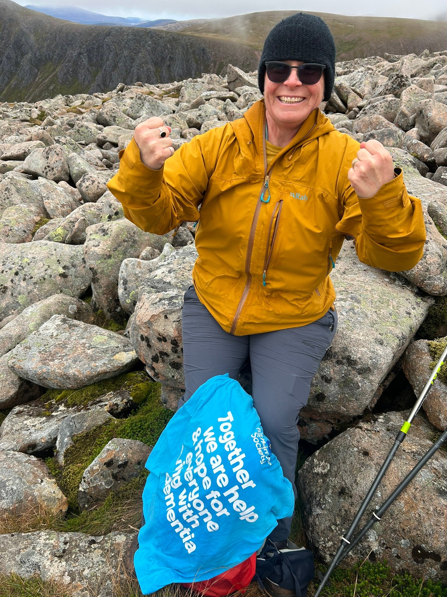
This weekend's training took me around the Leicestershire 3 Peaks – 17.3 miles (27.8km) with 709m of ascent, completed in 6 hours 35 minutes. This walk I was sporting my Alzheimer's Society T-Shirt 😁.
Although these hills are a long way from the mountains I'll be climbing in September, it was still a really valuable day. I walked the first half with a friend before continuing the final seven miles solo, which added a different mental challenge.
The biggest lesson was the importance of fuelling properly. I didn't eat enough after lunch and could feel my energy levels dropping during the final few miles. It's a timely reminder that long days in the mountains are about much more than fitness – getting nutrition and hydration right can make just as much difference.
Overall, it felt like another positive step. The distance felt manageable, my confidence continues to grow, and each training walk is teaching me something new that I'll take into the 3×3 Peaks Challenge in September.
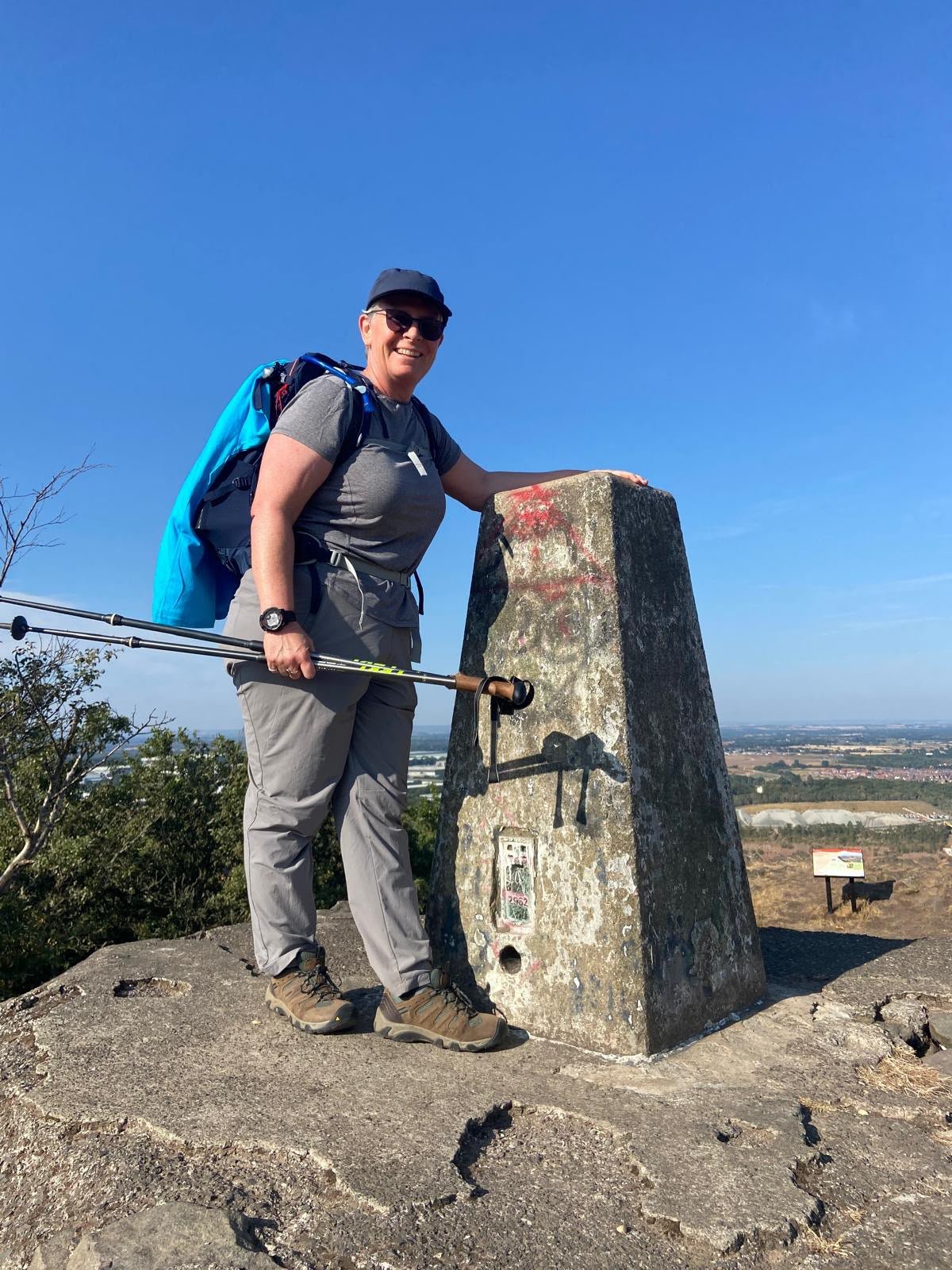
Bardon Hill Summit
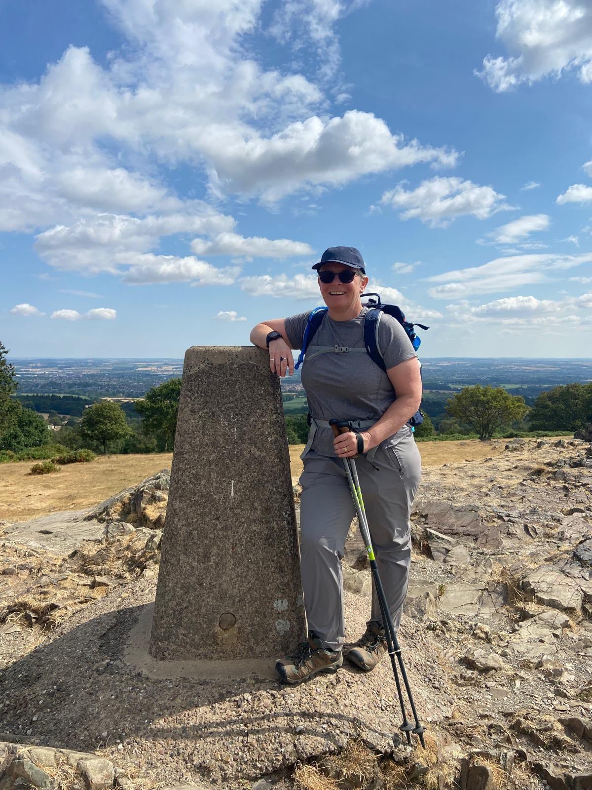
Beacon Hill Summit
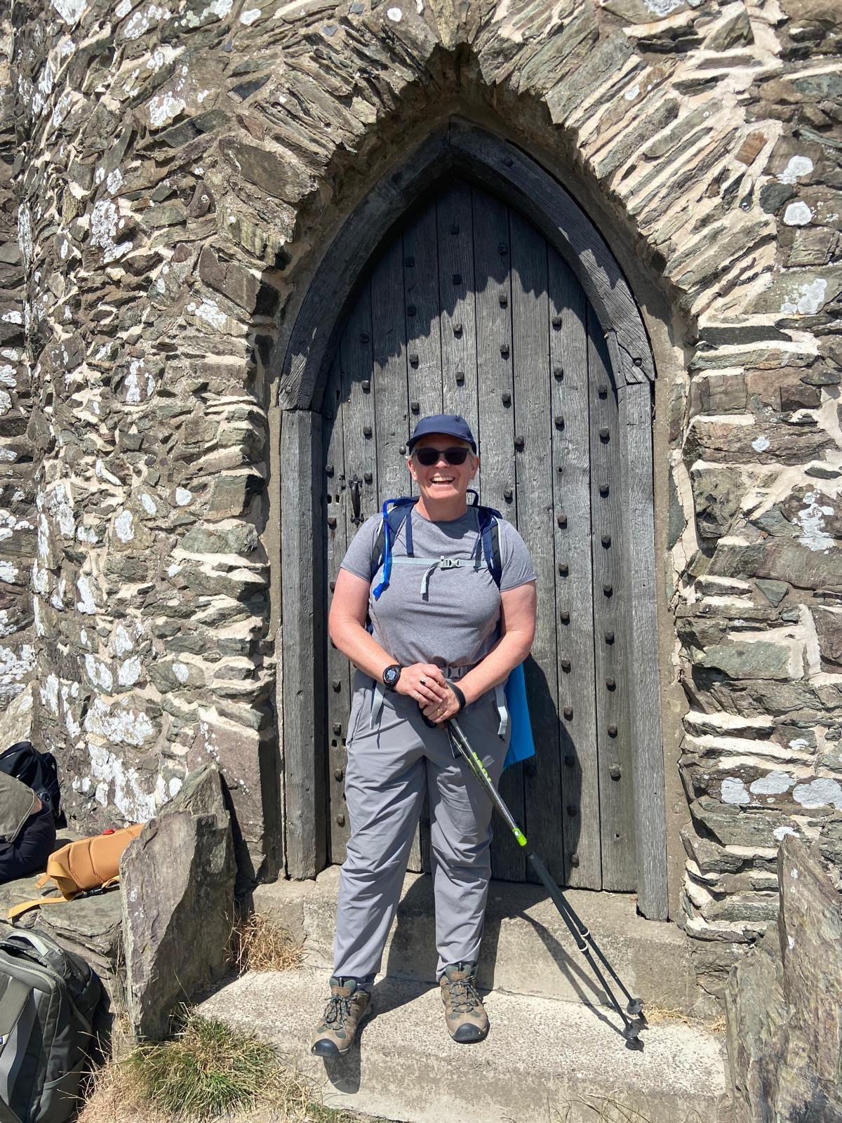
Old John Summit
Rolling Hills
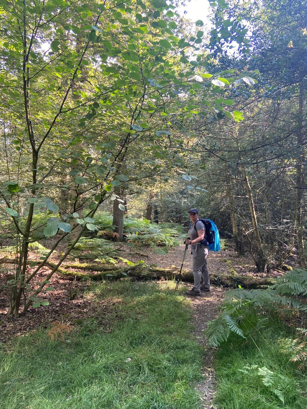
Shade Hunting
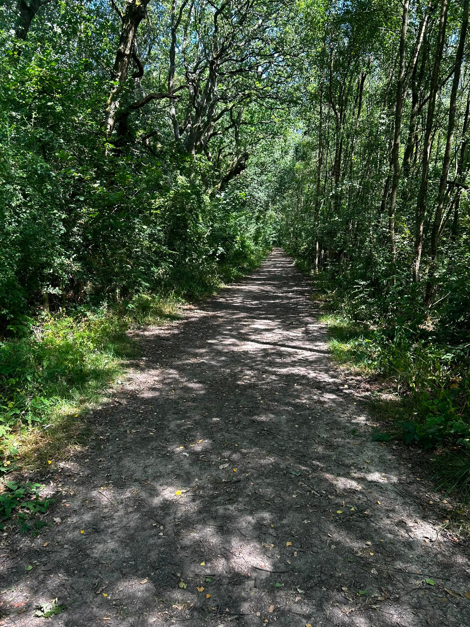
More Shade
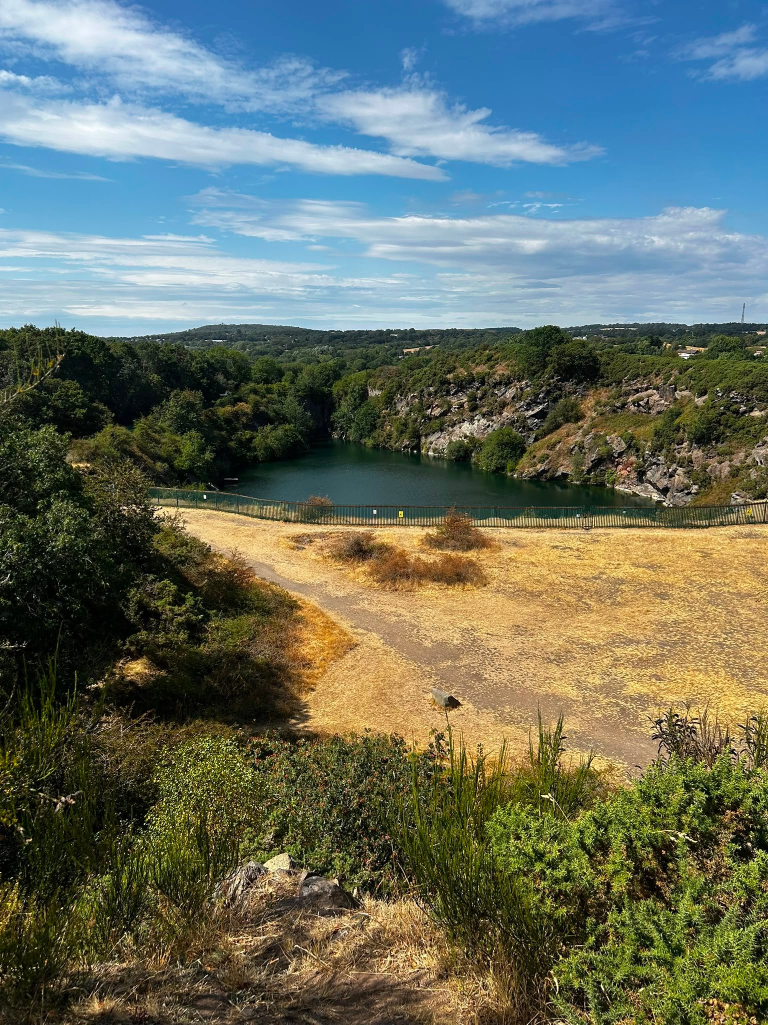
An Extra Peak – Hill Hole Quarry
27.07.26
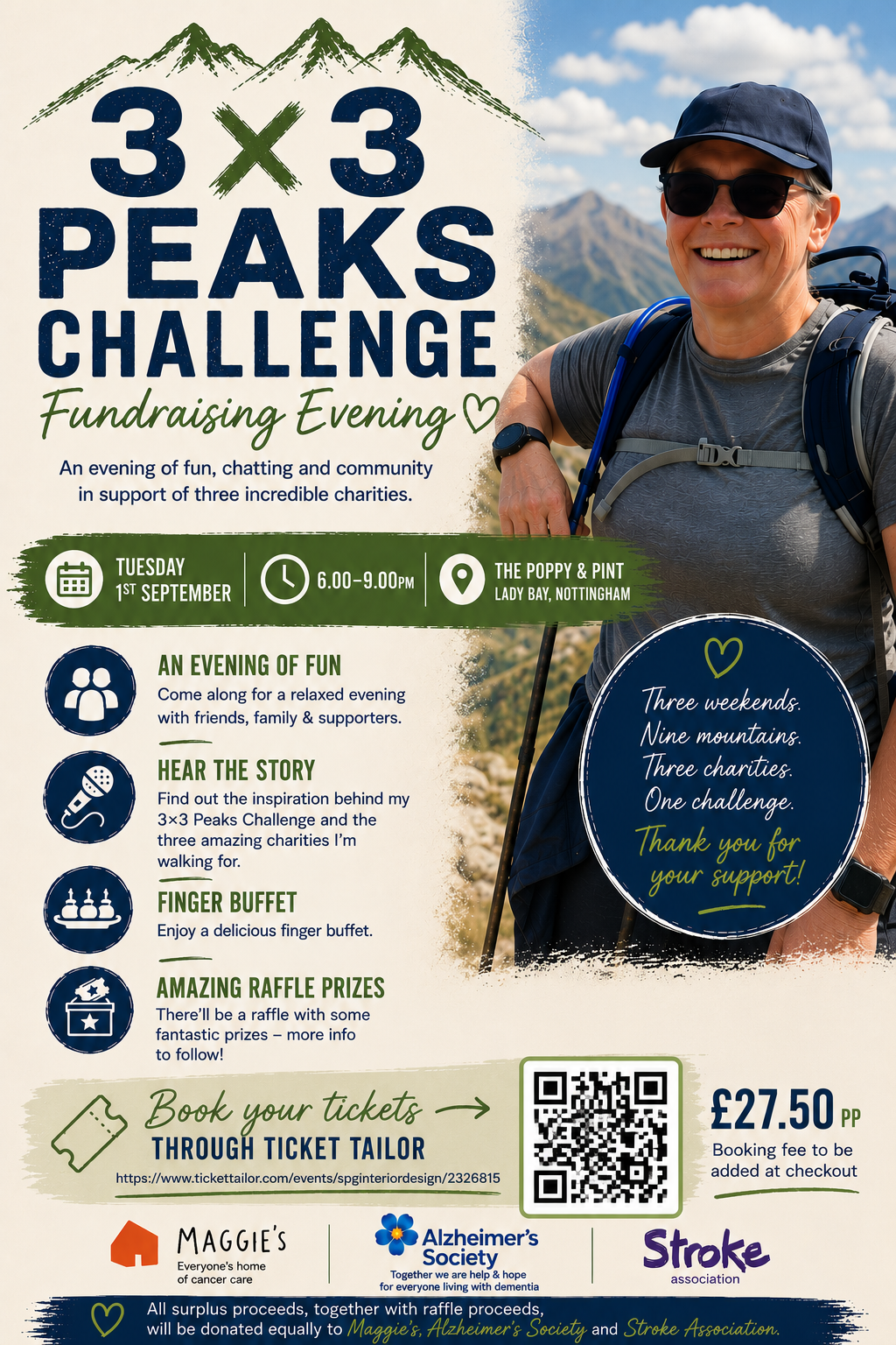
Fundraising Evening Tickets Now Available
A big milestone this week – tickets for my fundraising evening are now on sale!
The event takes place on Tuesday 1st September at The Poppy & Pint, Lady Bay, and will be an opportunity to hear more about the challenge, why I'm taking it on, and the three charities I'm supporting. There'll also be a finger buffet, raffle and plenty of opportunity to catch up with friends, family and supporters before I head off to tackle the mountains.
I'd love to see as many people there as possible. If you're able to come along or know someone who might enjoy the evening, please do share the details.
05.08.26
Training Update – Saturday 1st August
Another solid step forward last weekend. I headed out with my frined Jane, a fully loaded backpack and walking poles, covering 6.25 miles (10 km) with 313 metres of ascent.
The really encouraging part wasn't the distance or the climbing – it was how comfortable everything felt. My feet, knees, shoulder and back all held up well, in fact, I finished feeling like I could have carried on.
With just a month to go to the first weekend this was a good confidence boost. I'm looking forward to the next biggest challenge this weekend with my first back to back walk days & the most ascent to date with my final large training walks in the Brecon Beacons.
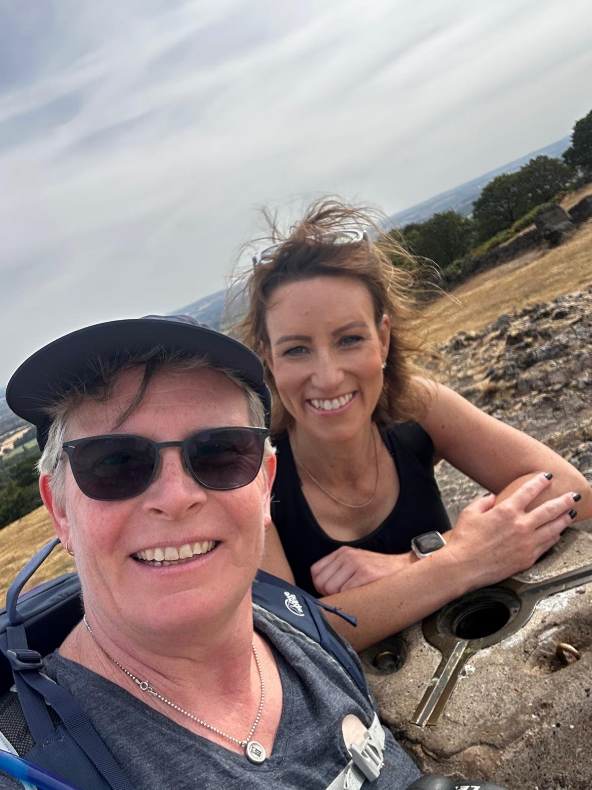
On Beacon Hill… again
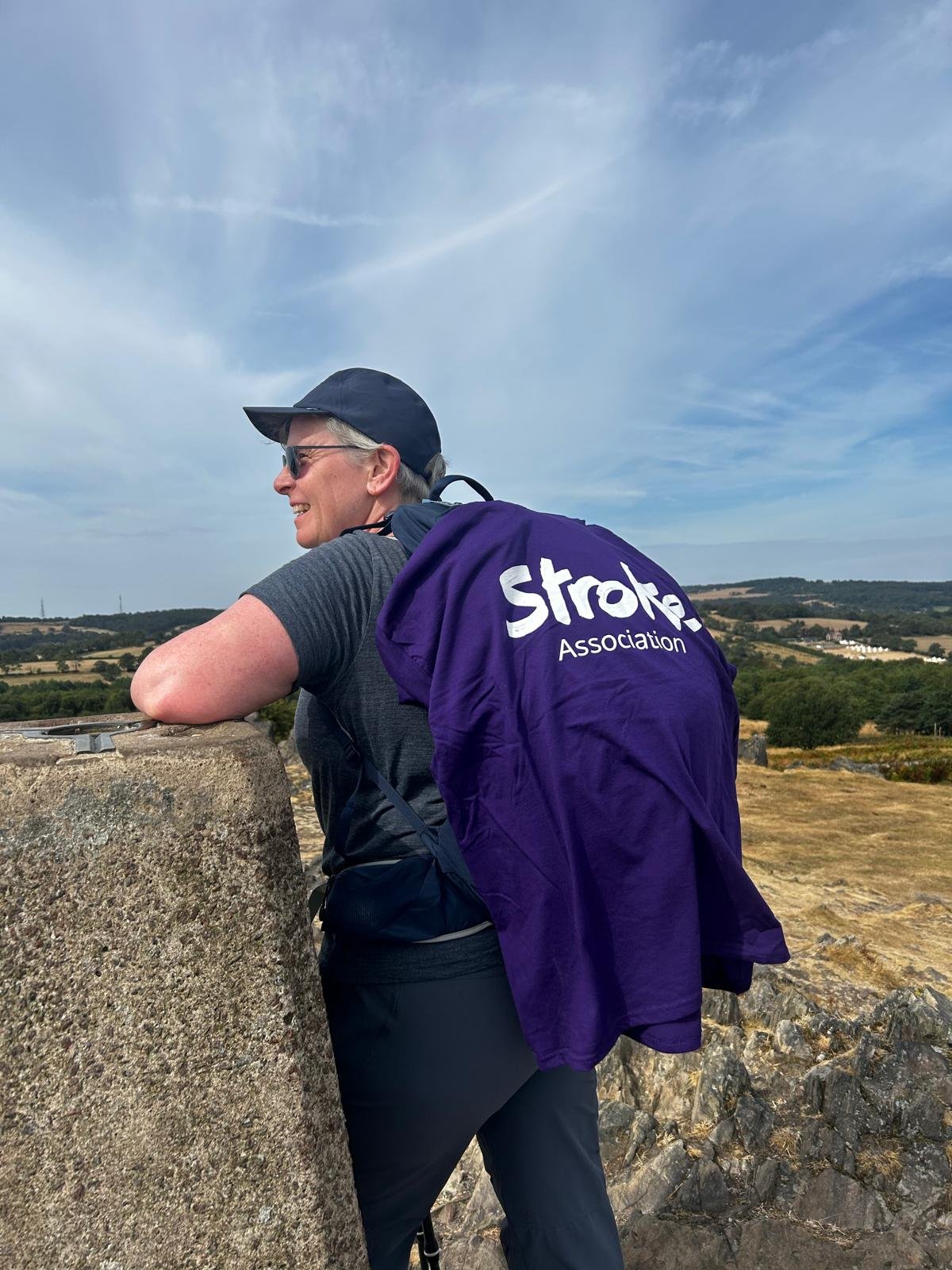
Supporting the Stroke Association for this walk
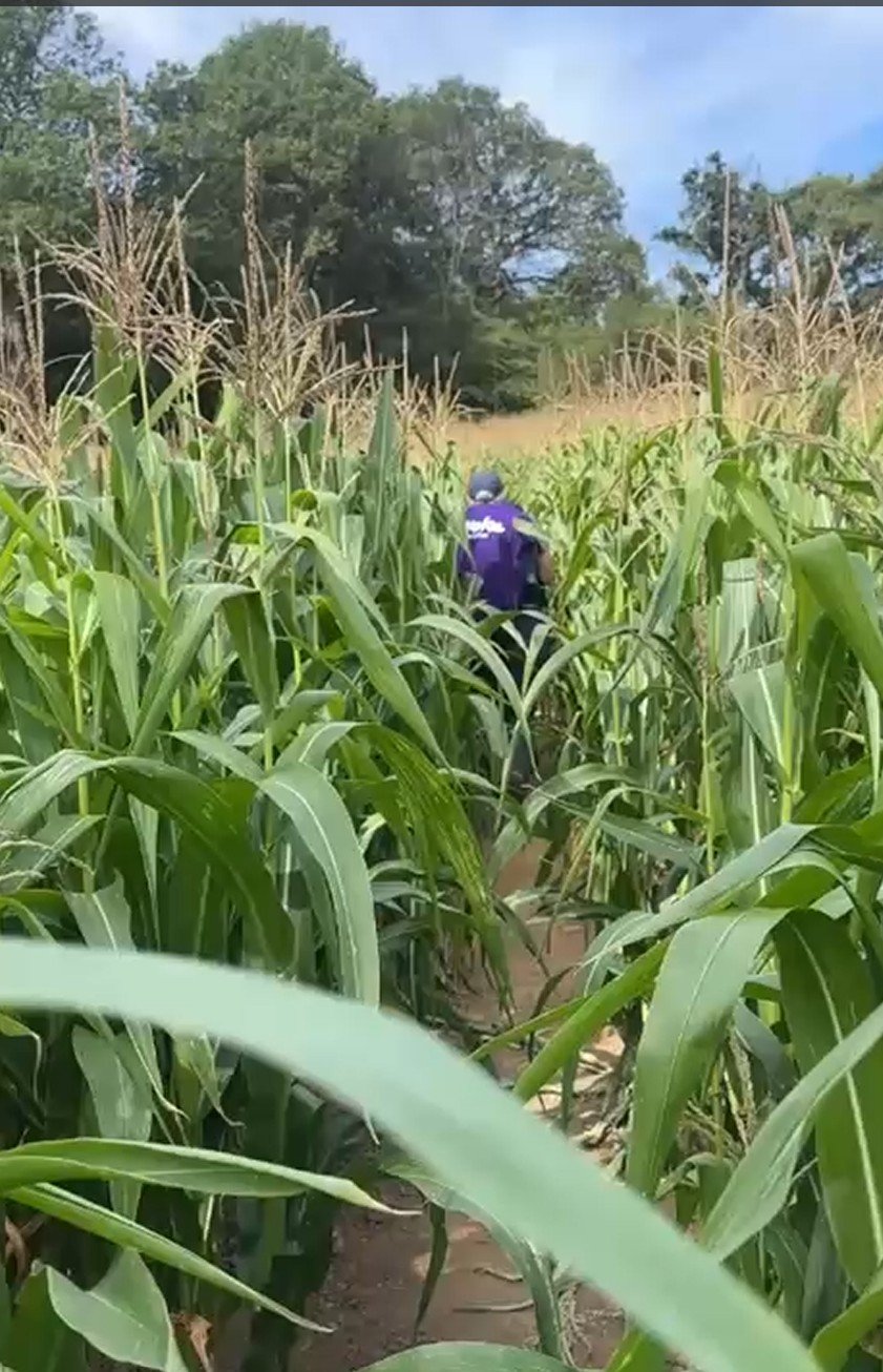
Finding the footpath in the maize
20.08.26
Training Update – Bannau Brycheiniog (Brecon Beacons), 8th & 9th August
This was the big one! My final major training weekend before the 3x3 Peaks Challenge begins in September took me to Bannau Brycheiniog (Brecon Beacons) for my first real test of walking two substantial mountain days back-to-back.
On Saturday 8th August I headed out with Toni & Nige, covering 8.39 miles (13.5 km) with 971 metres of ascent, taking in four peaks over almost seven hours. It was a pretty warm day too, which made all that climbing that bit more challenging. With a fully loaded pack, it was easily my biggest climbing day of the training so far.
The descents gave my knees a bit of a workout, but overall I was really pleased with how my body coped – particularly my back and shoulders, which gave me no problems at all.
Then came the real test: getting up and doing it all again on Sunday 9th August!
This time I was joined by Rob, who is hoping to join me for a couple of the Scottish mountains during the challenge. We covered another 8.31 miles (13.4 km) with 696 metres of ascent, taking in another two peaks. It was another warm day, and my legs definitely knew they'd done a big walk the day before. The first climb felt tough, but as the day went on I actually got stronger. Even better, my knees behaved themselves on the descents and I finished feeling surprisingly good.
That made the weekend total 16.7 miles (26.9 km) and 1,667 metres of ascent over two consecutive days – by far the closest test yet of what September is going to demand.
A couple of blisters aside, I came away from Bannau Brycheiniog feeling really encouraged. There's still some training to do, but the big mountain miles are now in the bank.
Just over two weeks until the 3x3 Peaks Challenge begins!
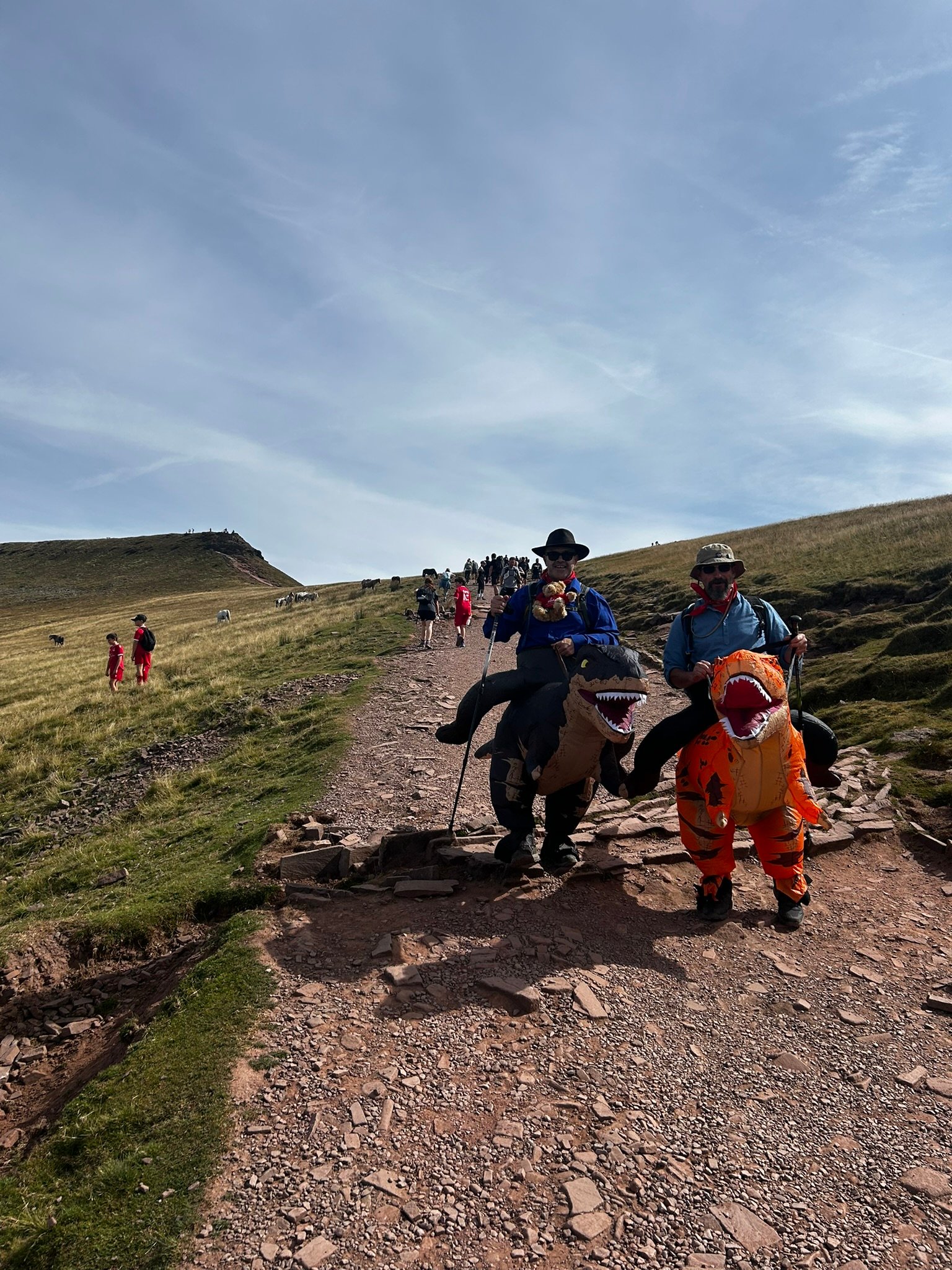
Fellow Fundraisers on Pen y Fan
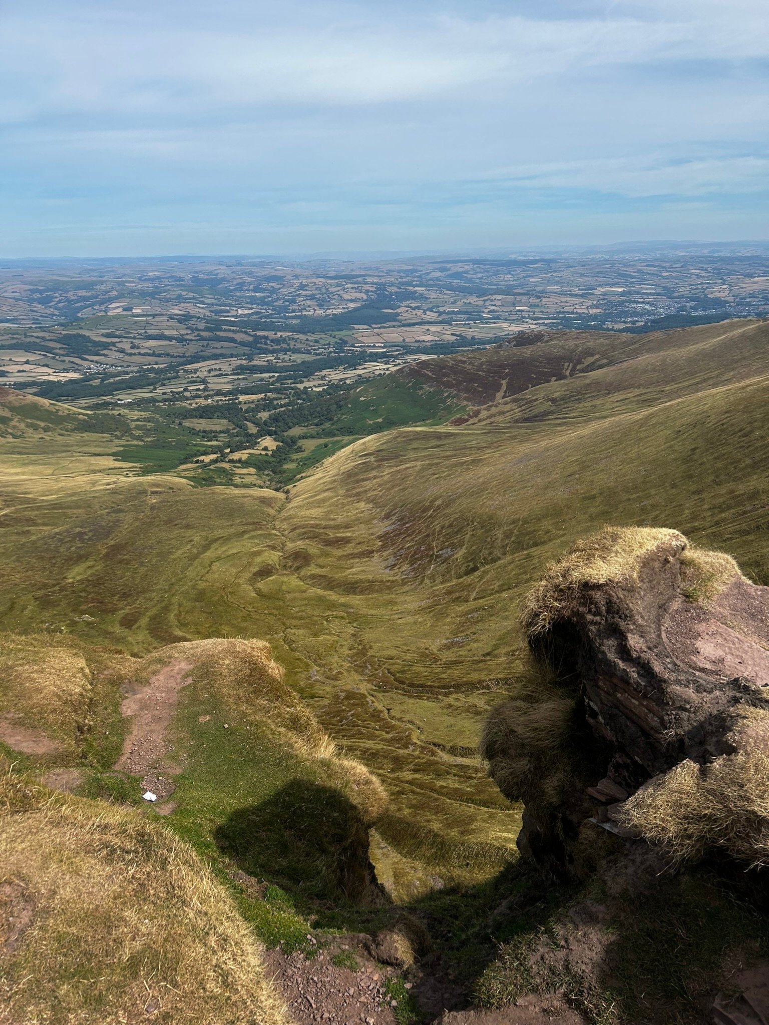
Beautiful Views
Being Arty
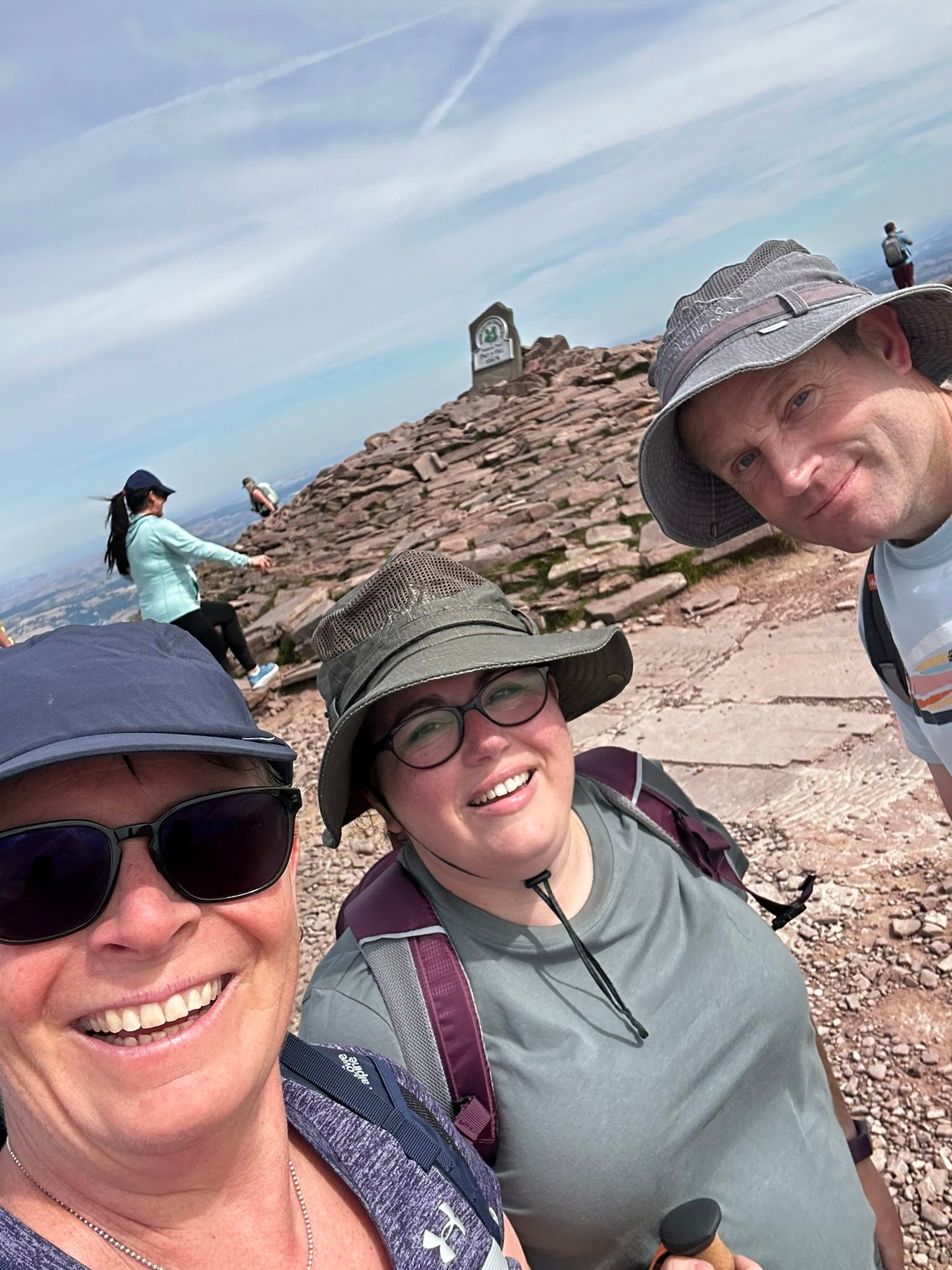
The Saturday Crew
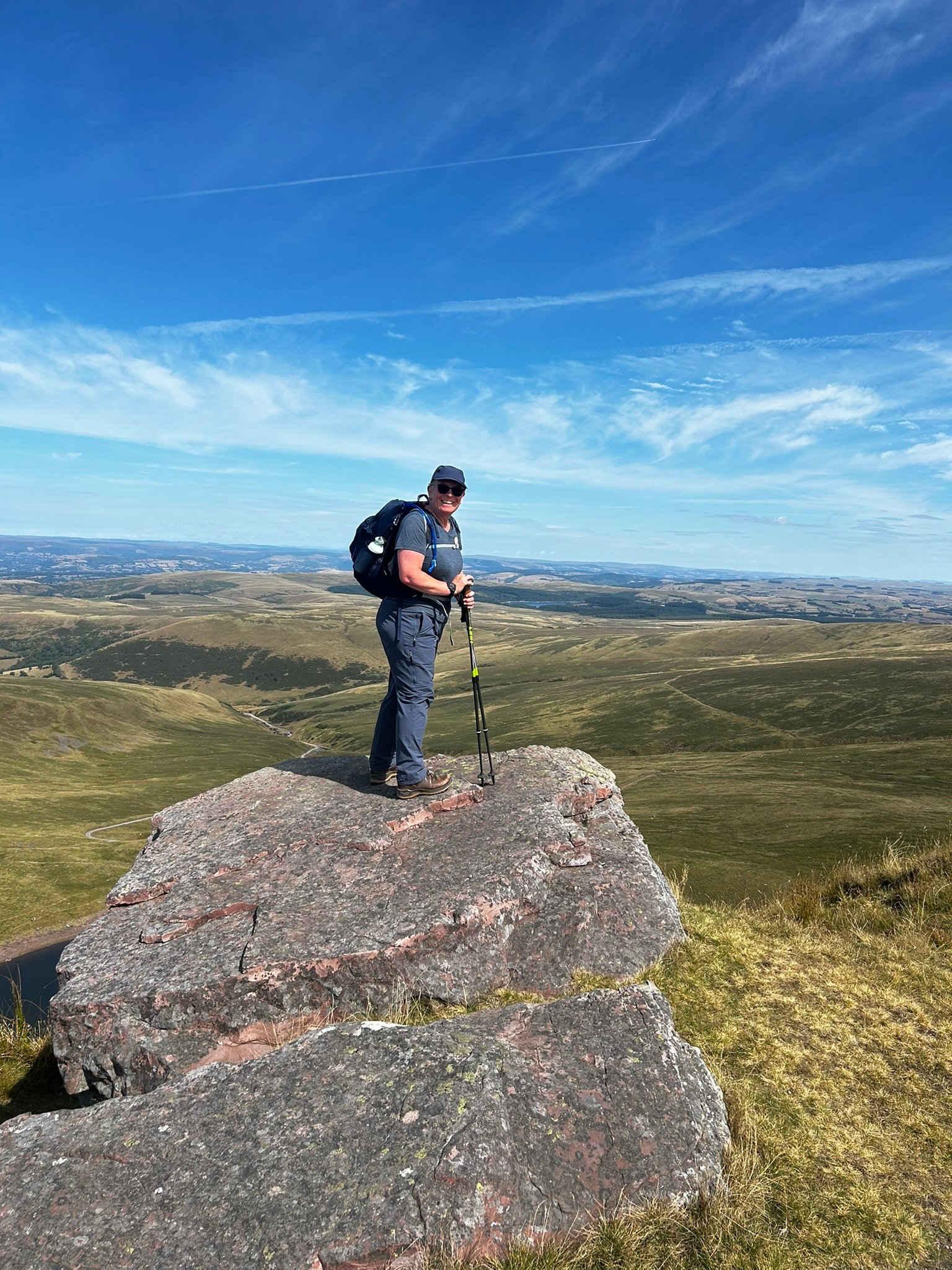
Top of the World!
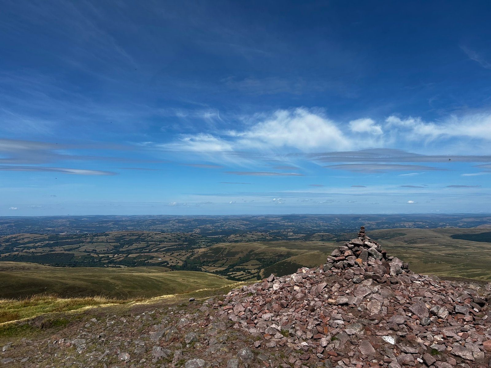
Day 2 Pretty View
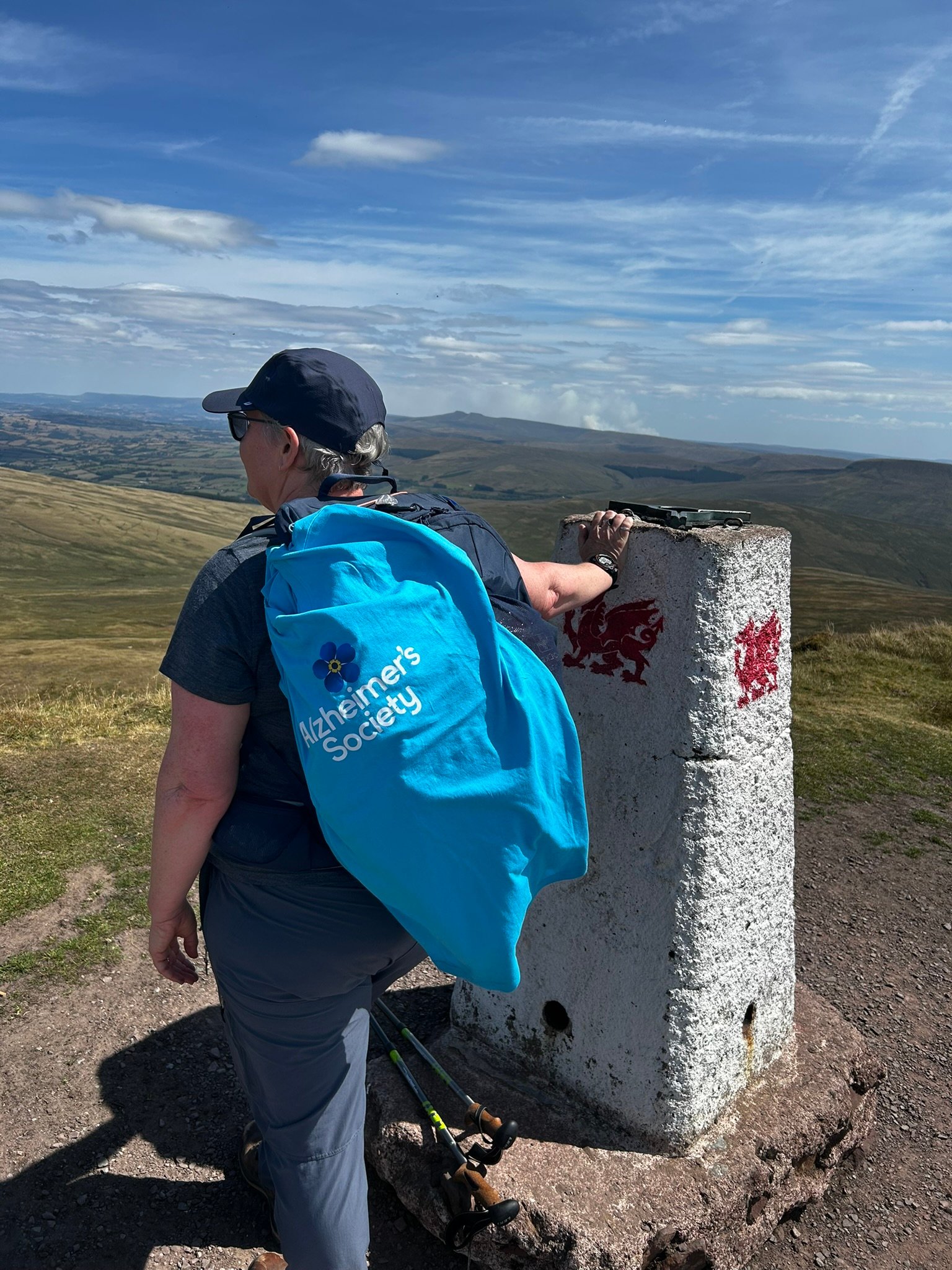
Found the Trig Point
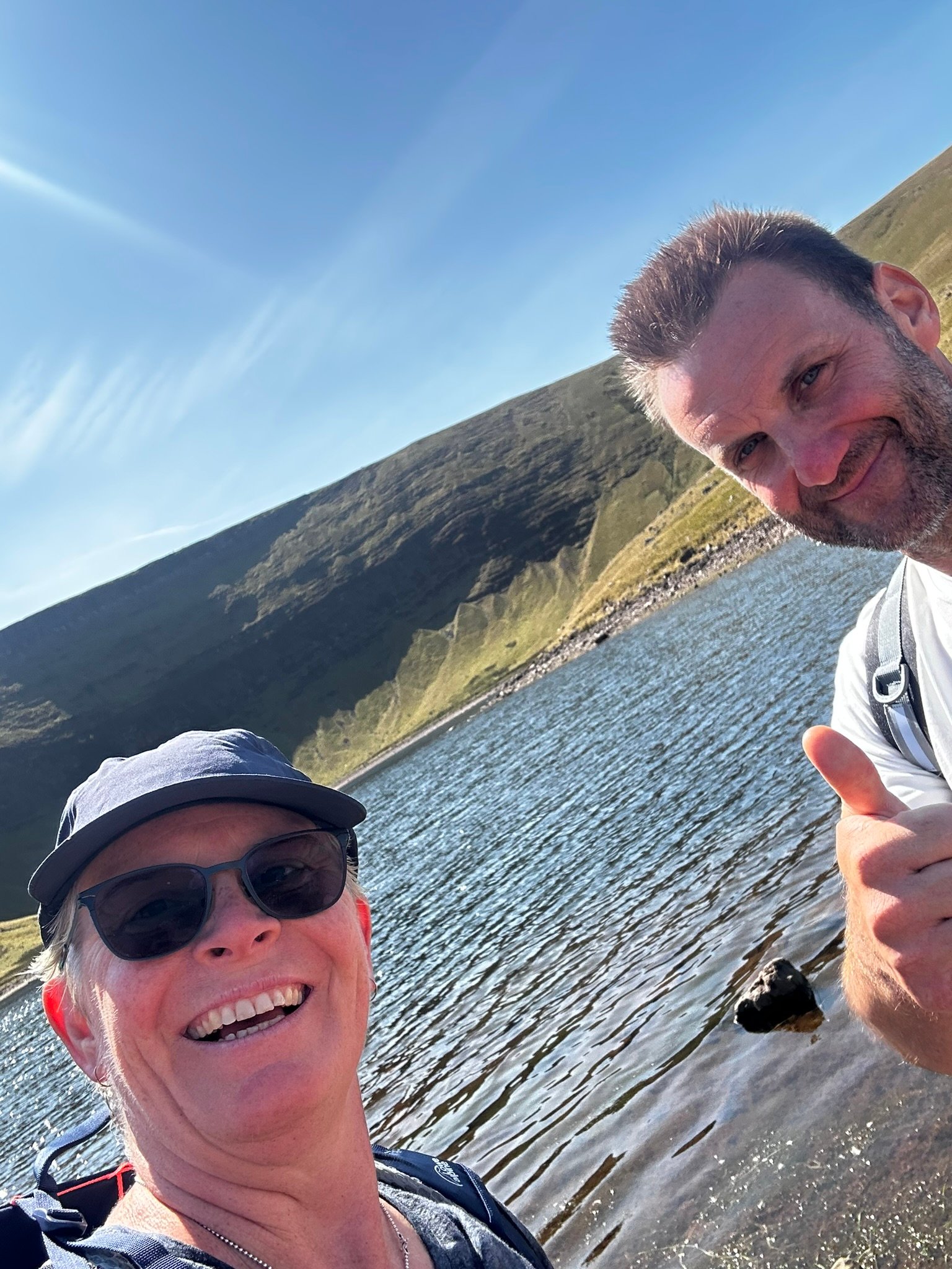
Me & Rob
20.08.26
Training Update – Bradgate Park, 15th August
Not every training walk needs to be about chasing miles, metres of ascent or another big hill!
After the much tougher weekend in Bannau Brycheiniog, last weekend’s walk at Bradgate Park was deliberately a little more relaxed. I headed out with Sam & Tracey for an easy 4.7 miles, with plenty of time for a good natter along the way and a midway stop for some lunch - of course!
One of the things I’ve really enjoyed about training for the 3x3 Peaks Challenge has been walking with lots of different people. Some walks have been big mountain days, others have been local hills or simply getting a few miles into my legs, but the company has been a big part of making all those training miles enjoyable.
last weekend wasn’t about testing myself or clocking up big numbers. It was about keeping the legs moving, enjoying being outside and spending time with good company.
And actually, with getting so close to the start of the challenge, that was exactly what I needed.
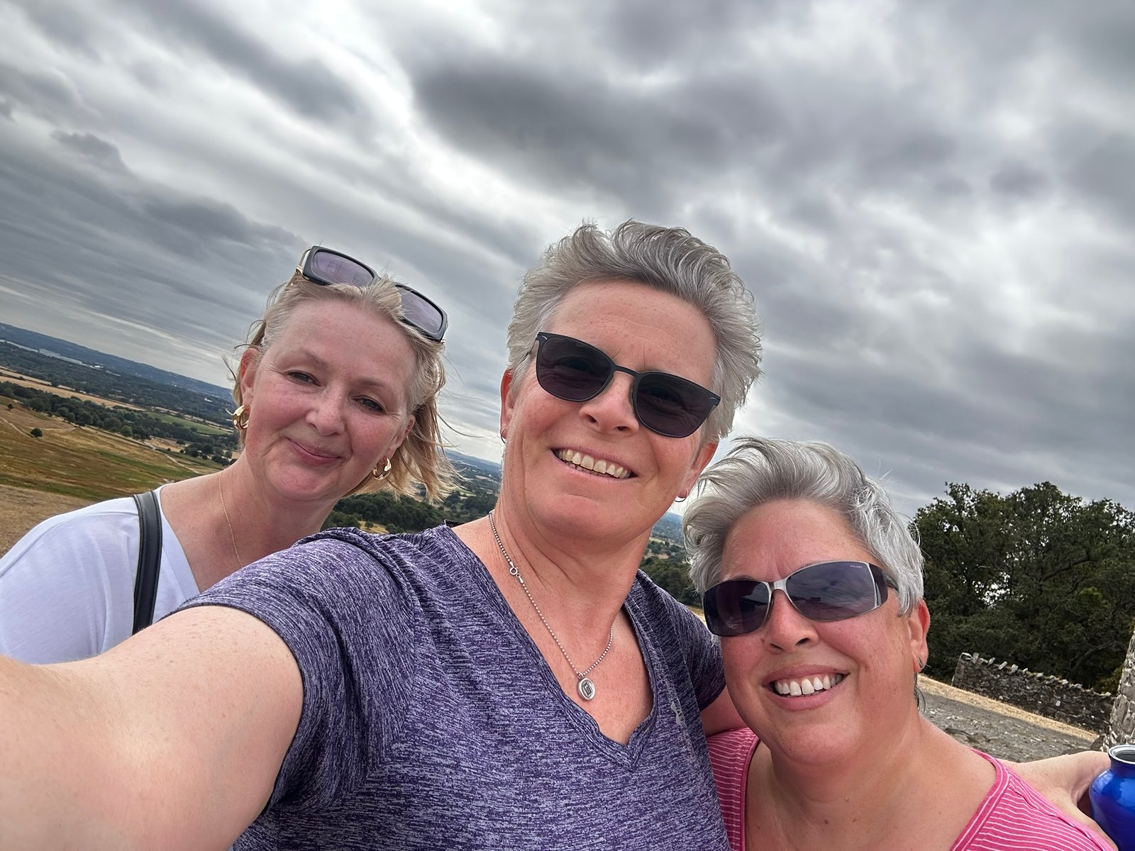
Tracey, Sam & me.
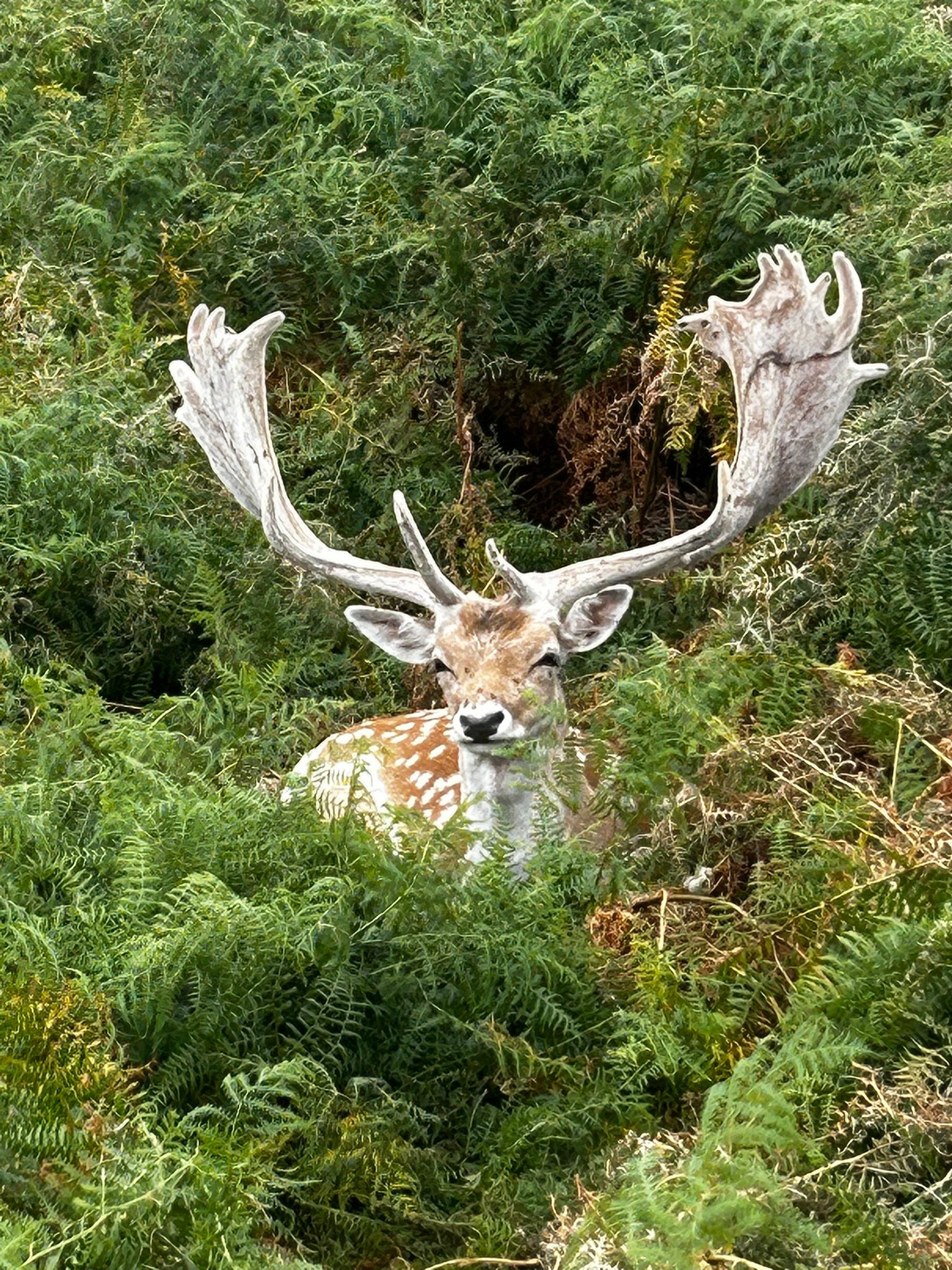
Hiding in the Ferns
01.09.26
Belvoir Vale – 9.35 miles and plenty of hills - 22.08.26
With just two weeks to go until the start of my 3×3 Peaks Challenge, this was one of my last substantial training walks – and a chance to get some more climbing into my legs without heading off to the Peak District or Wales.
The Vale of Belvoir might not immediately spring to mind as mountain training territory, but if you pick your route carefully there are plenty of hills to be found!
9.35 miles | 1,850 ft (564 m) ascent | 4 hrs 46 mins moving time
Sam joined me for most of the walk and we tackled the first few miles and climbs together. When I reached the point where I was heading off for my next hill, we split up – I carried on climbing while Sam headed back towards the car.
After a little guidance on navigation before we parted company, and a couple of messages along the lines of “I'm not sure this is right...” 😂 Sam made it back, picked up the car and drove over to The Engine Yard to wait for me.
I couldn't really criticise her navigation too much though. Later in the walk I managed to follow a path that gradually became less and less path-like until I found myself pushing my way into a thicket. I persevered for a little while, but as the brambles and nettles started taking over I admitted defeat, turned around and picked up the main path again. Another useful reminder that sometimes the sensible option is simply to retrace your steps!
The aim of the walk itself was very much about repeated climbing rather than chasing distance, making use of the escarpment to build up a decent amount of ascent over the course of the day.
I was carrying my challenge pack and using my poles too, so it was another opportunity to get used to the kit I'll be relying on throughout September.
And after 9.35 miles and 1,850 ft of climbing, catching up with Sam at The Engine Yard for a very welcome beer and some food wasn't a bad way to finish the day!
Next stop: the Weaver Hills in Staffordshire for one last hilly training day before the 3×3 Peaks Challenge begins.
Then it really is time for the Lake District – and Scafell Pike, Scafell and Helvellyn.
Nine mountains. Three weekends. Three countries.
All to raise money for Maggie's Centres, Alzheimer's Society and the Stroke Association.
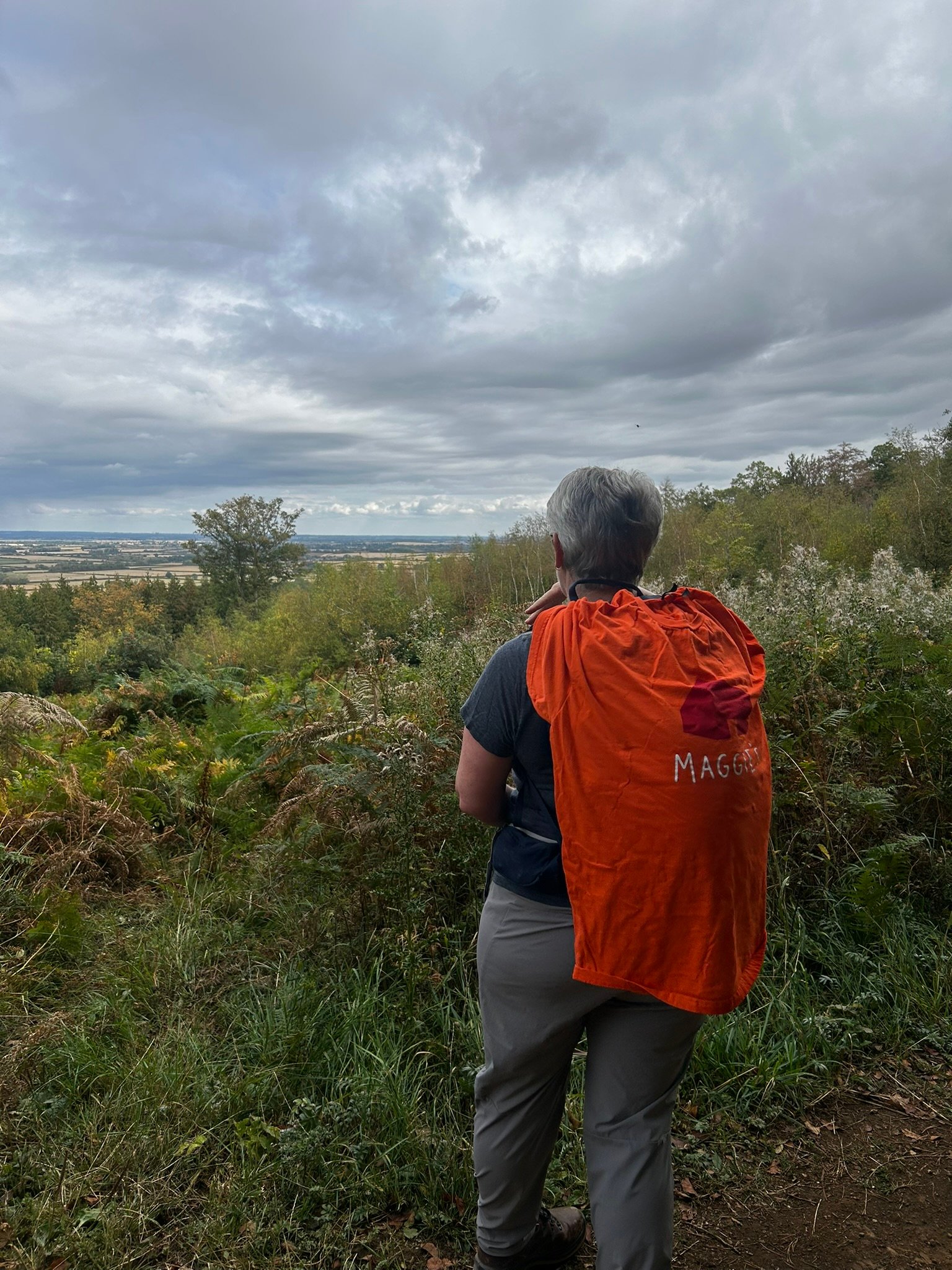
Checking out the view
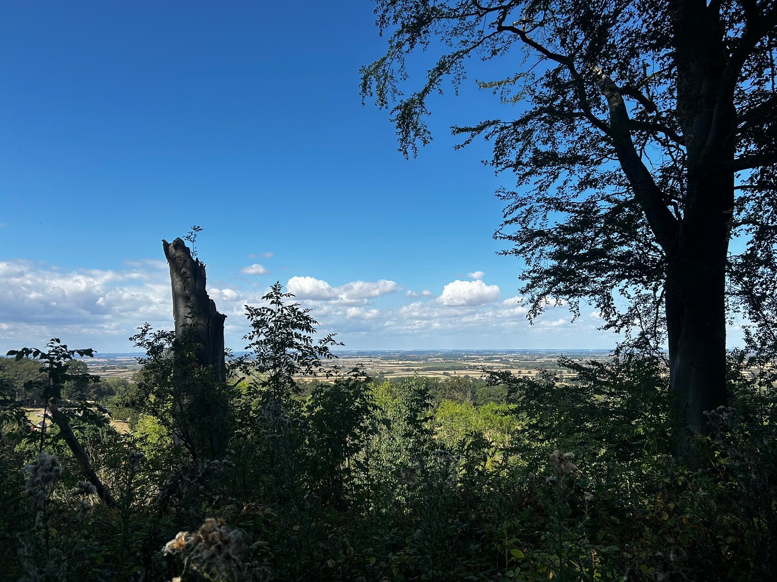
View over the escarpment
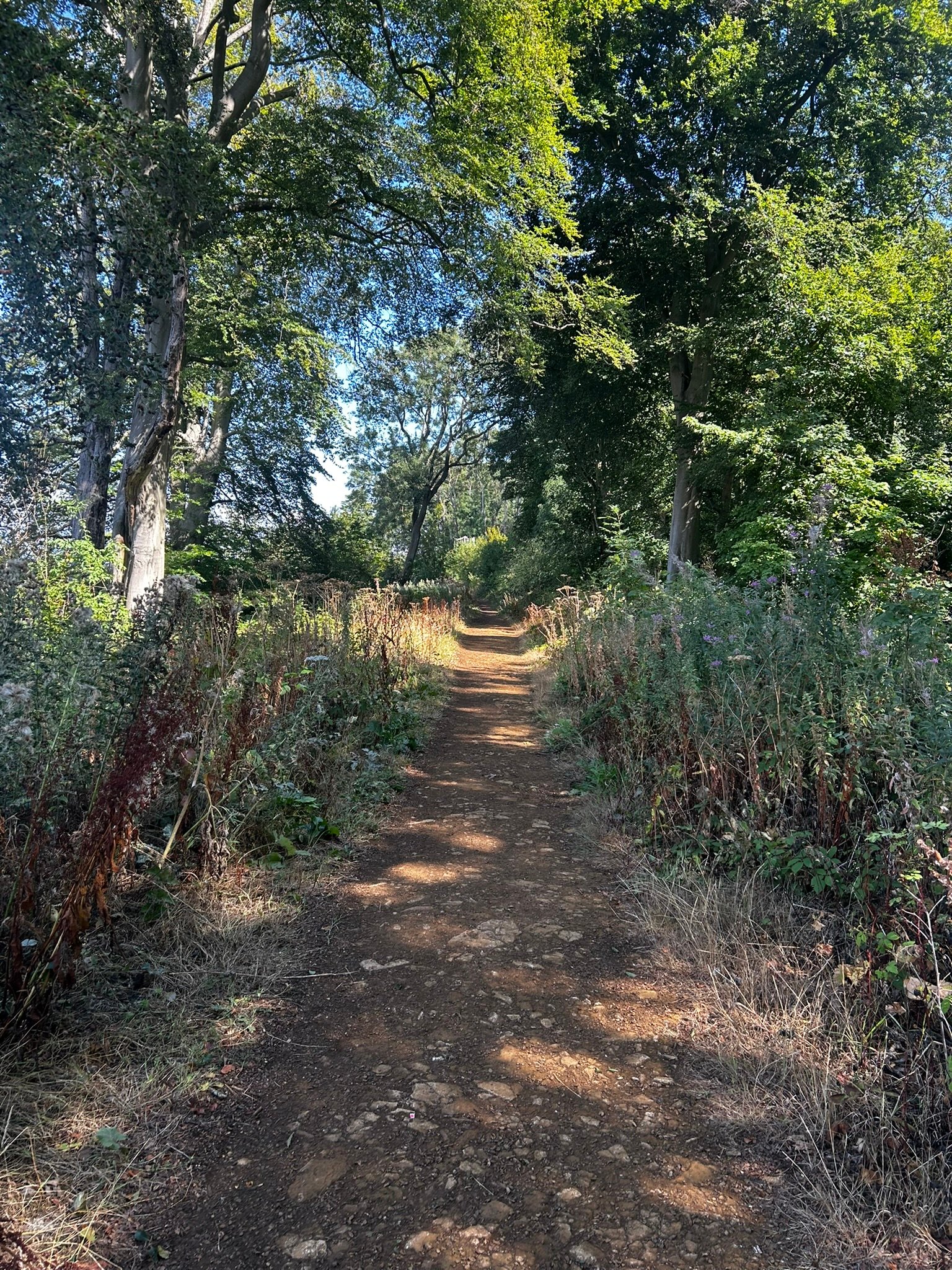
Woodland Walk
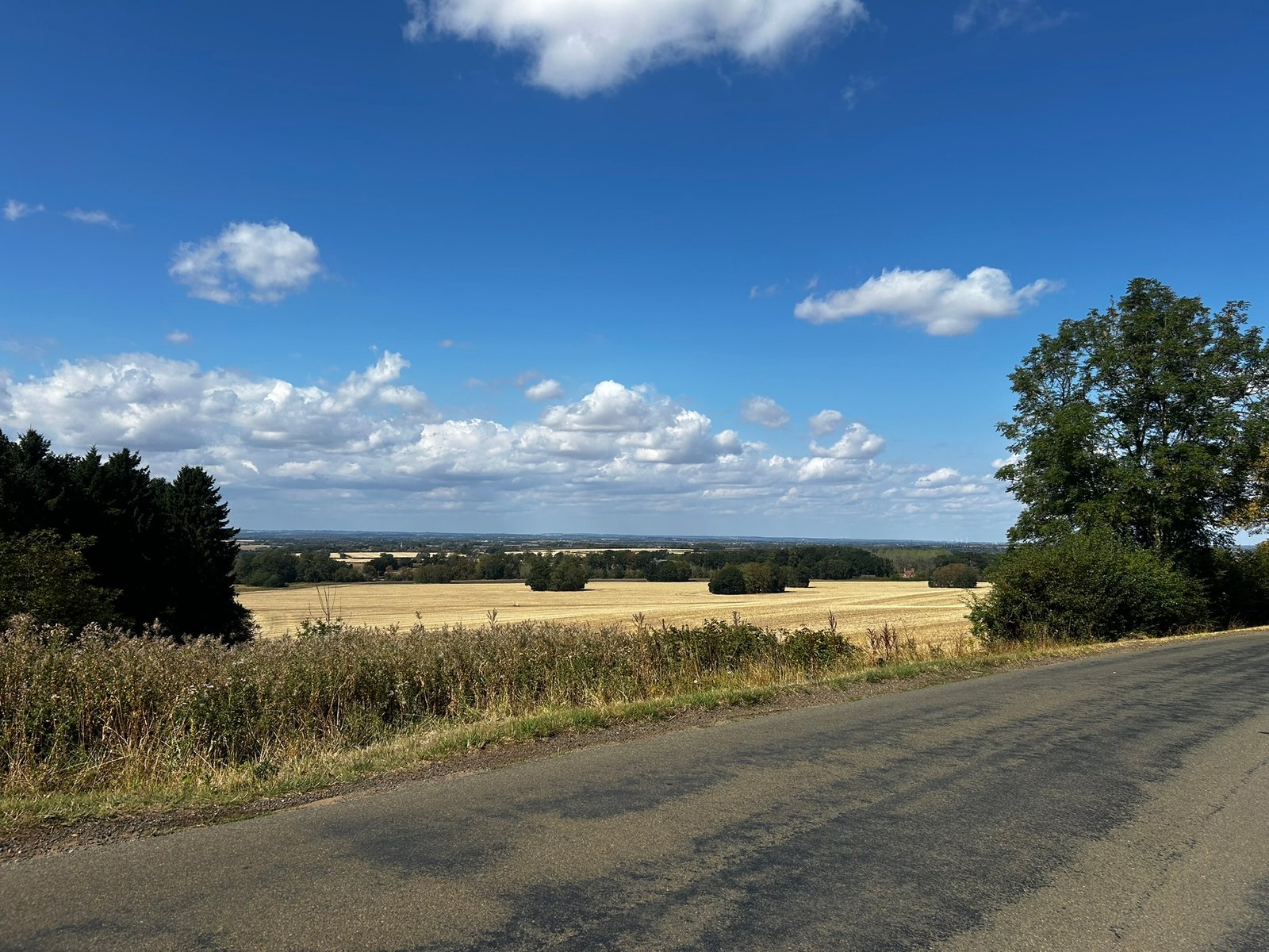
Nearly there. View across the Vale
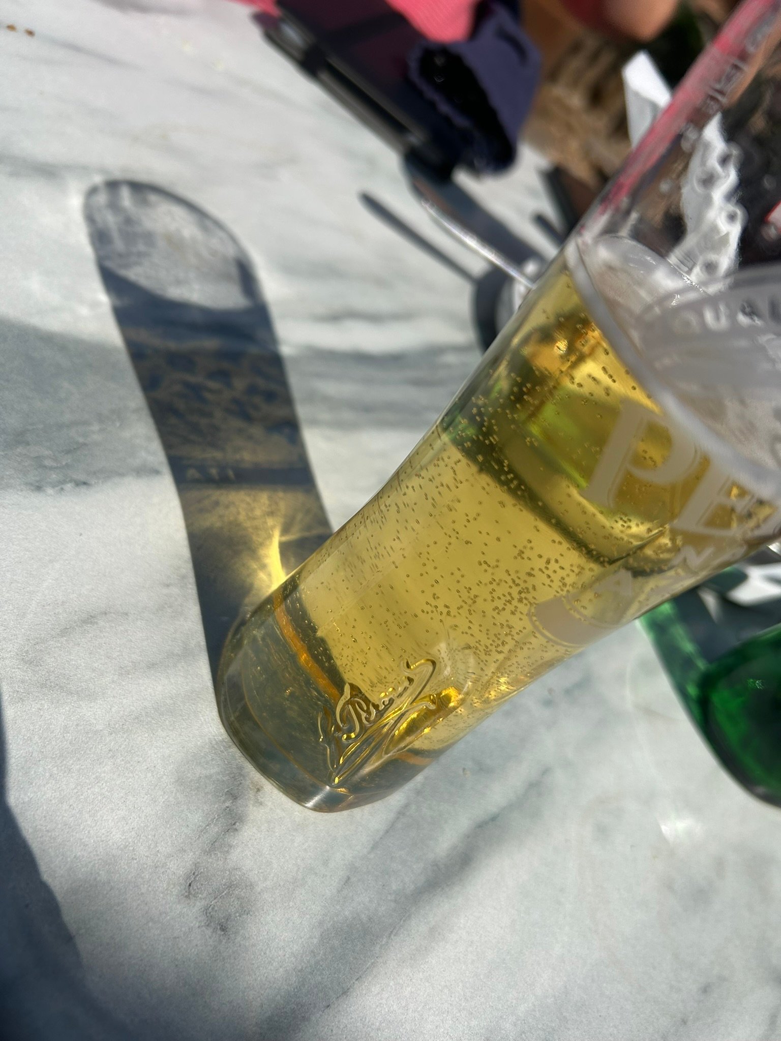
Well deserved beer
01.09.26
Weaver Hills – one final test before the challenge - 29.08.26
One last proper training walk before the 3×3 Peaks Challenge – and this time I was heading out solo to the Weaver Hills in Staffordshire.
After months of training in predominantly hot, dry weather, the weather finally decided it was time to give my wet-weather kit a proper test. It was a very wet day, but actually a really useful opportunity to find out how everything performed when the rain wasn't going anywhere!
Despite the weather, it was still a great day out complete with a couple of slightly more eventful wildlife encounters.
First came some very inquisitive horses who were clearly convinced I must be carrying food (for them) and were rather keen to investigate. Just keep moving Sarah, don't interact. Then came the bull...
I saw him as I got to a stile. I had a little chat with him, making friends before heading into his domain. All was fine, walked past, no problem, he wasn't bothered, then, I became aware that he'd decided to follow me – fairly quickly. Keep moving Sarah, don't interact, but he got a tad to close for my liking and I turned around, looked at him and said a very firm "NO!" He did and I swiftly walked on, bricking it!
Wet-weather kit thoroughly tested, livestock negotiated successfully, and another good day of hills in the legs, plus another trig point to boot - result.
From here it's about keeping moving, looking after myself and getting everything ready.
Next stop: the Lake District.
The training is done. Now it's time for the real thing – starting with Scafell Pike, Scafell and Helvellyn, the three highest mountains in England.
Nine mountains. Three weekends. Three countries.
Here we go...
All to raise money for Maggie's Centres, Alzheimer's Society and the Stroke Association.
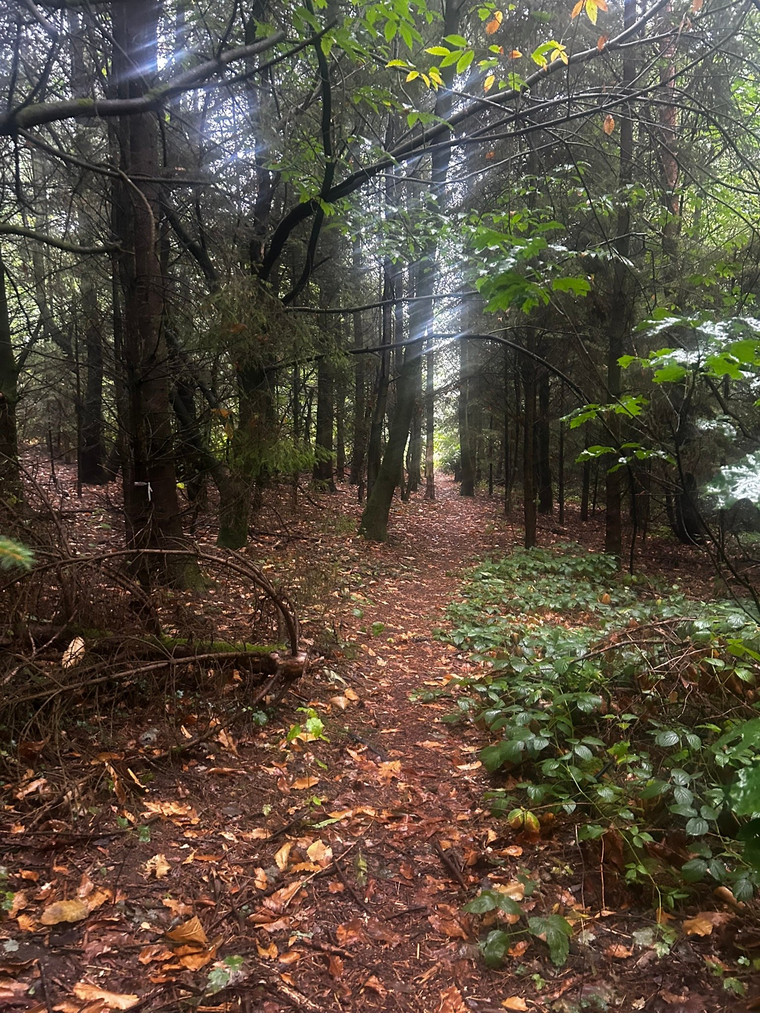
Lovely Light through the Trees
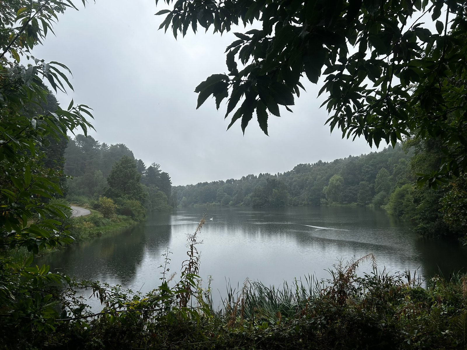
Swan Lake
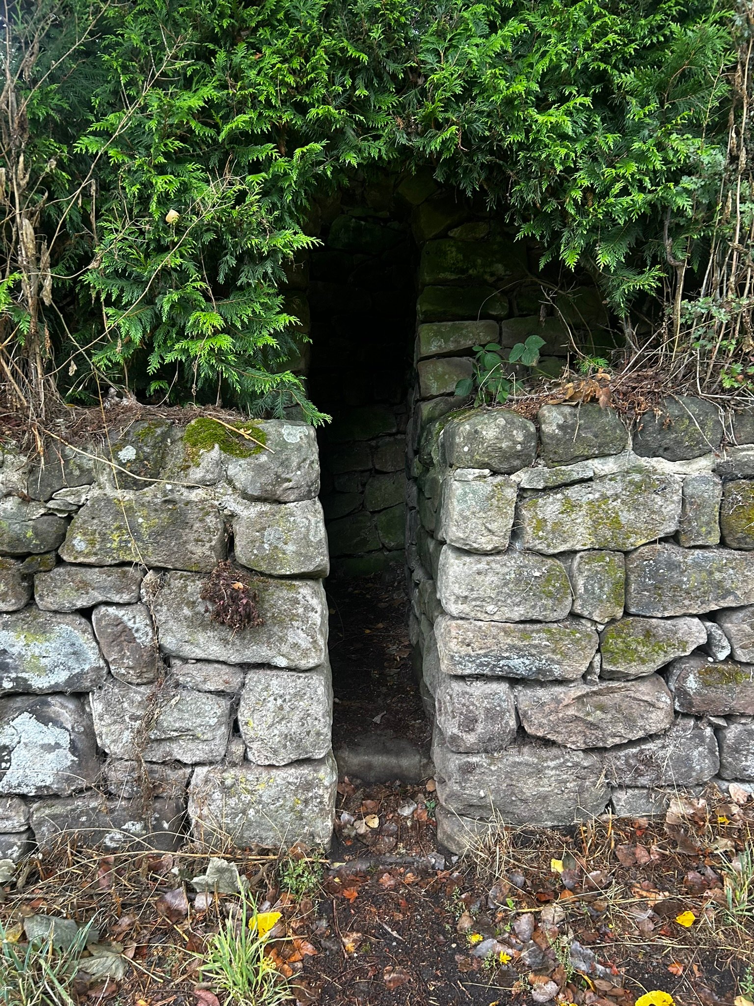
Secret Garden
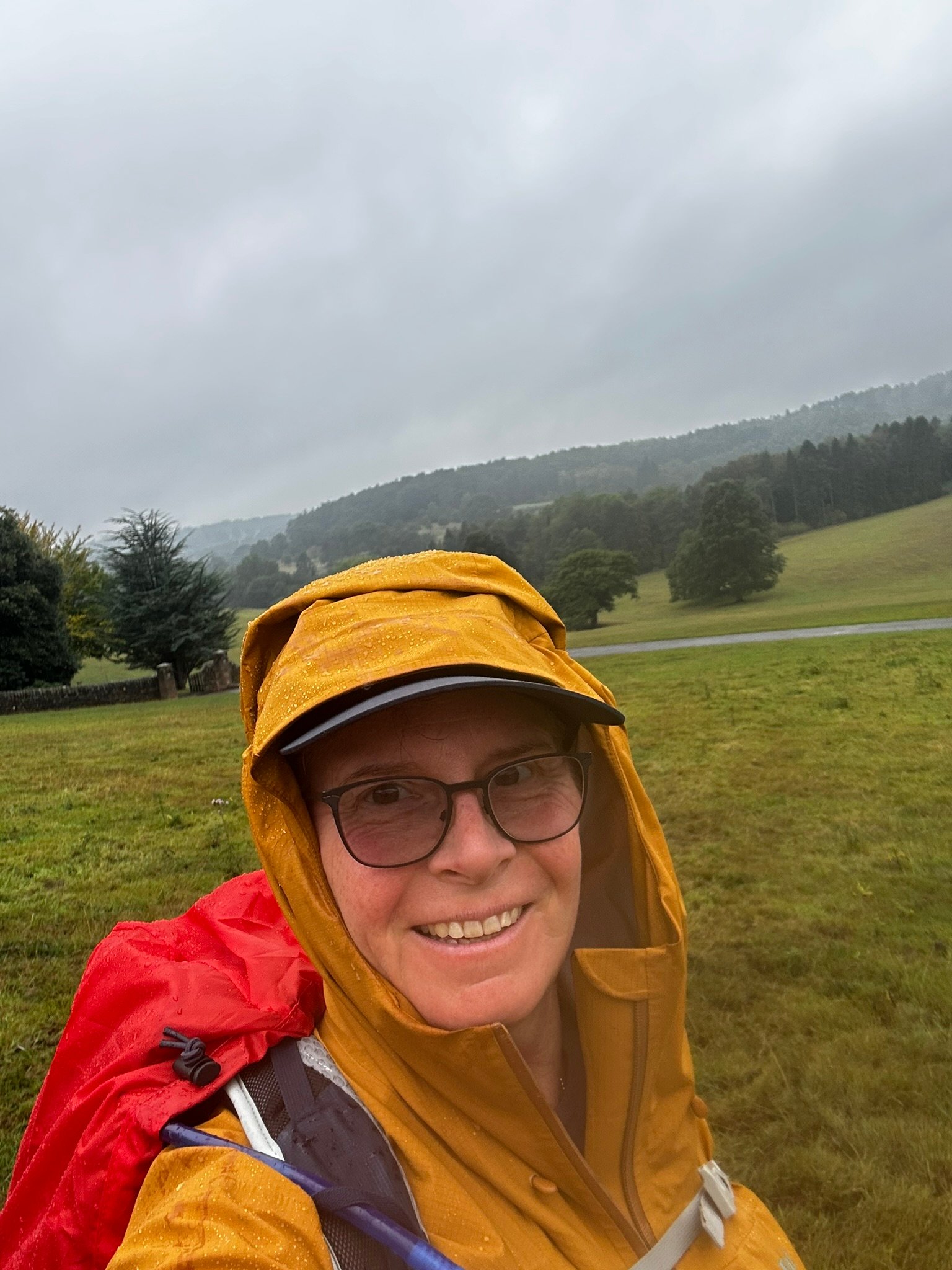
Yep, it’s raining
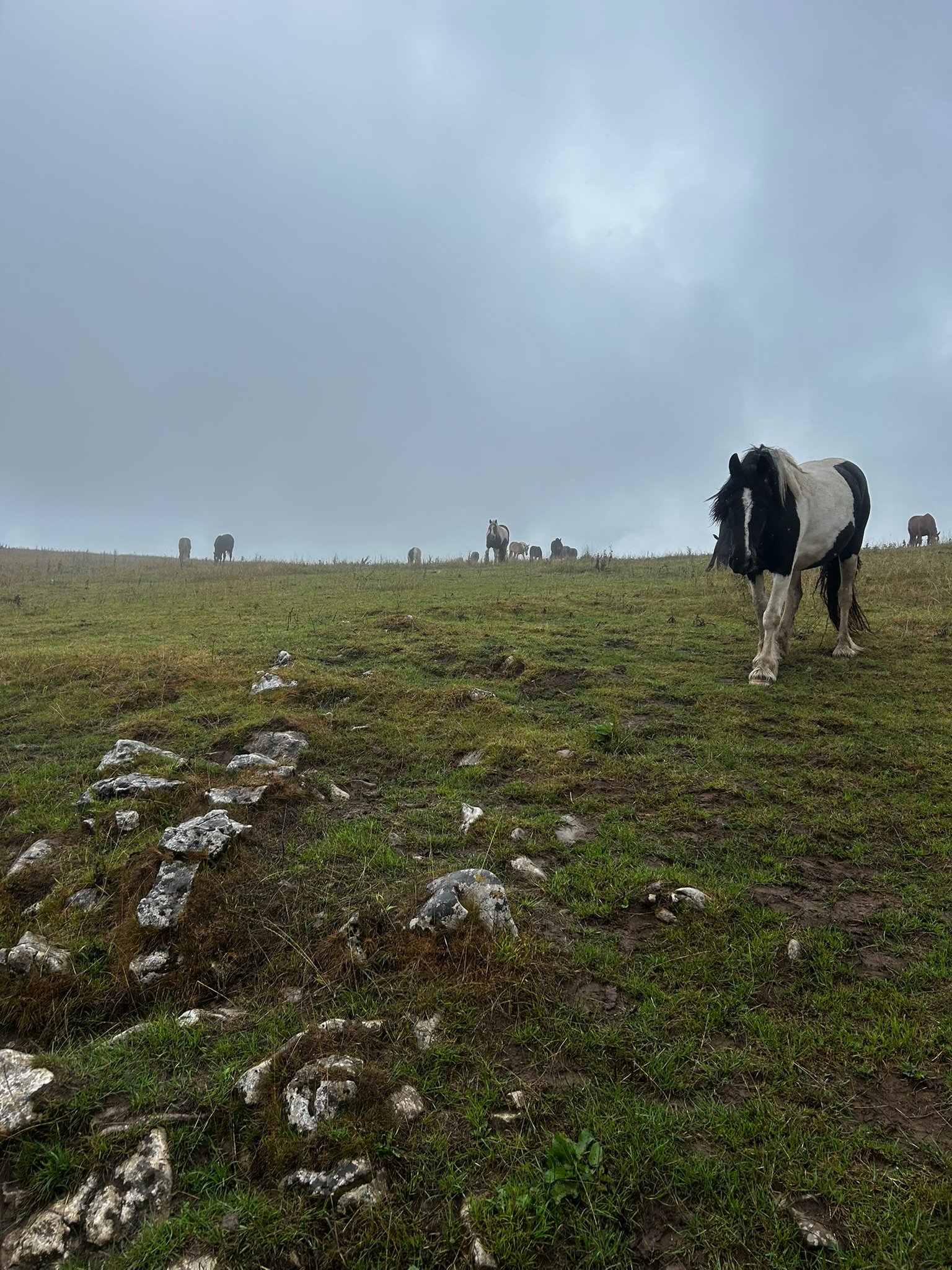
Coming to investigate
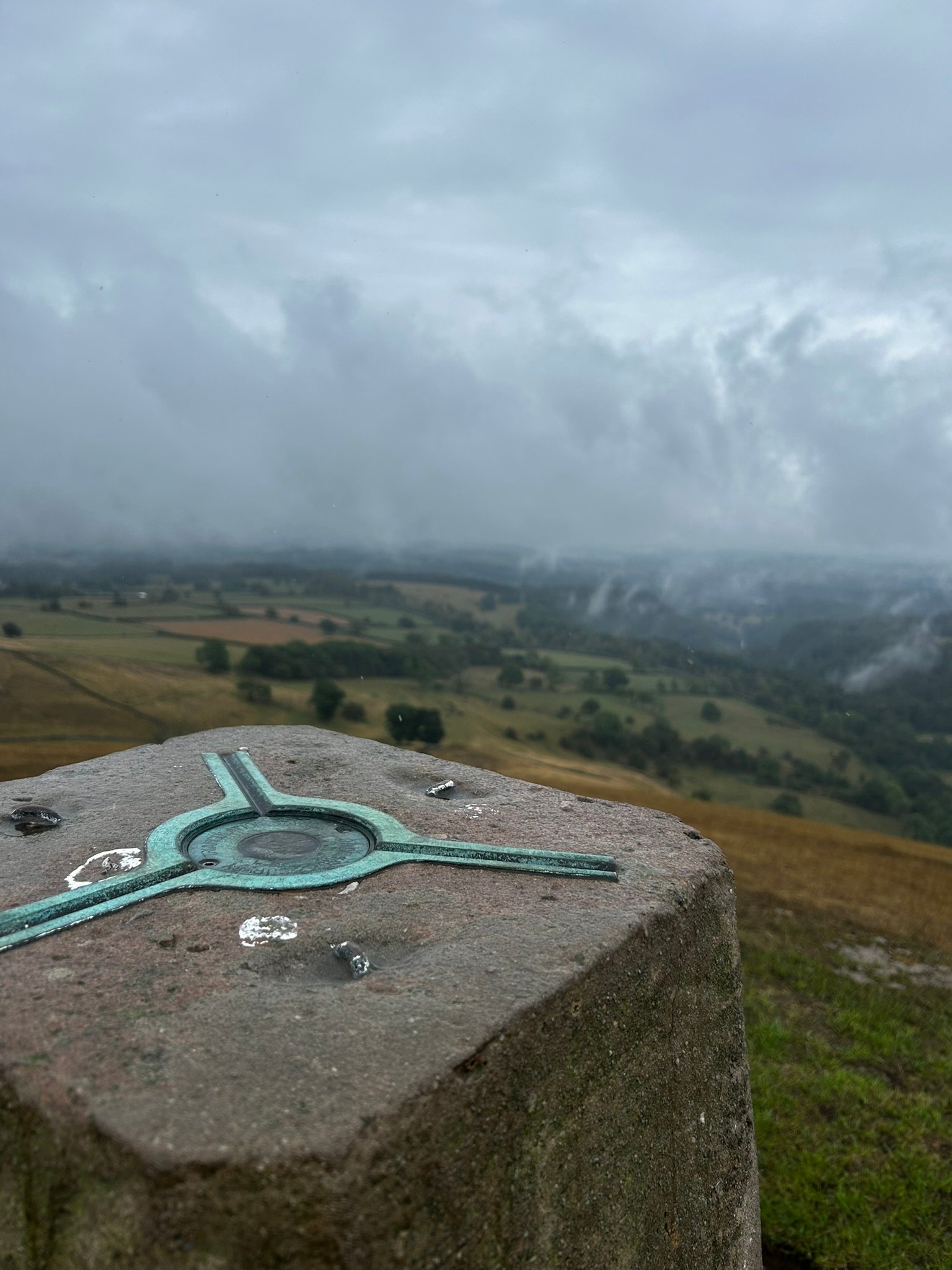
Yay, a Trig Point!
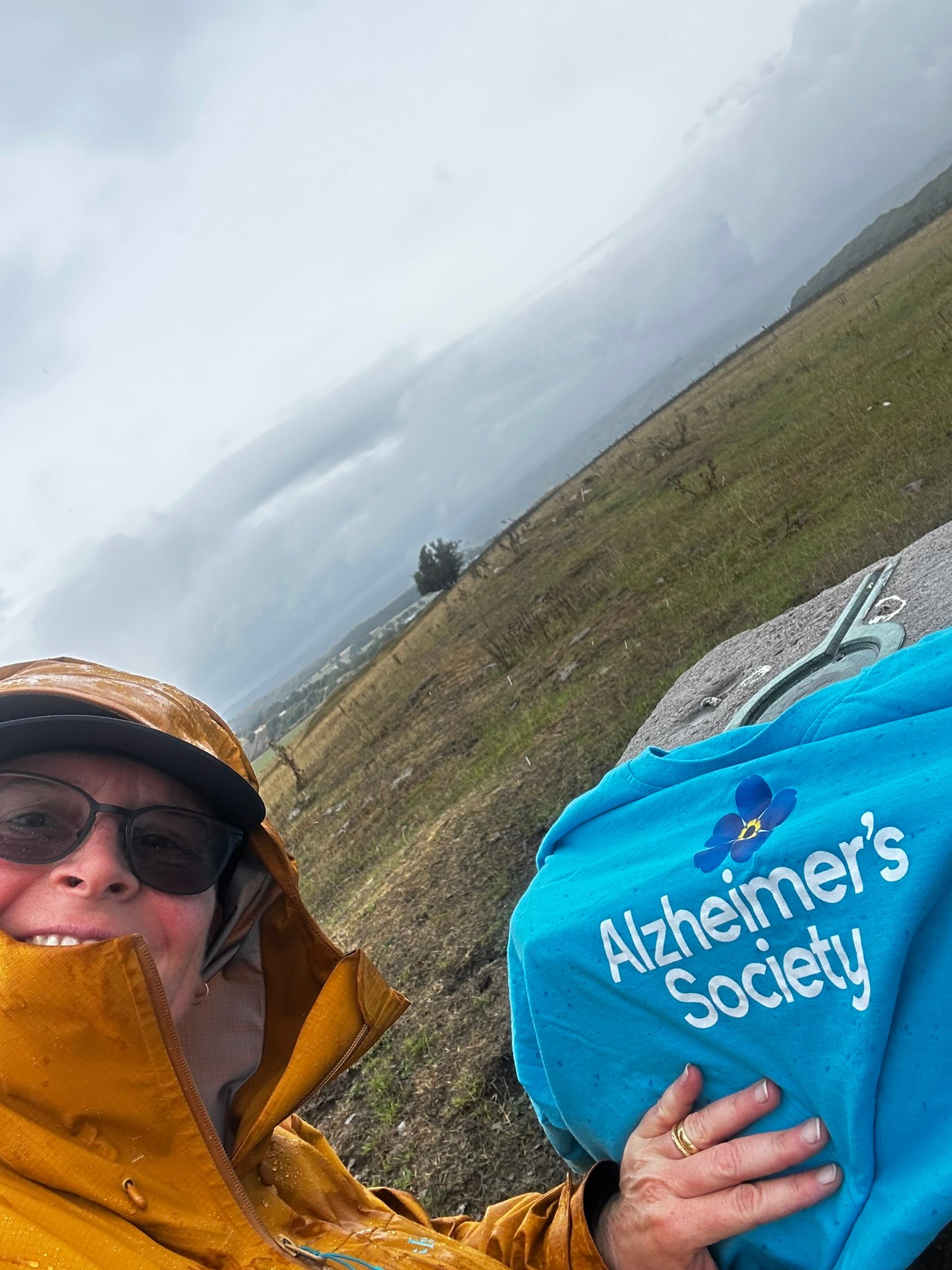
Reason for being here.
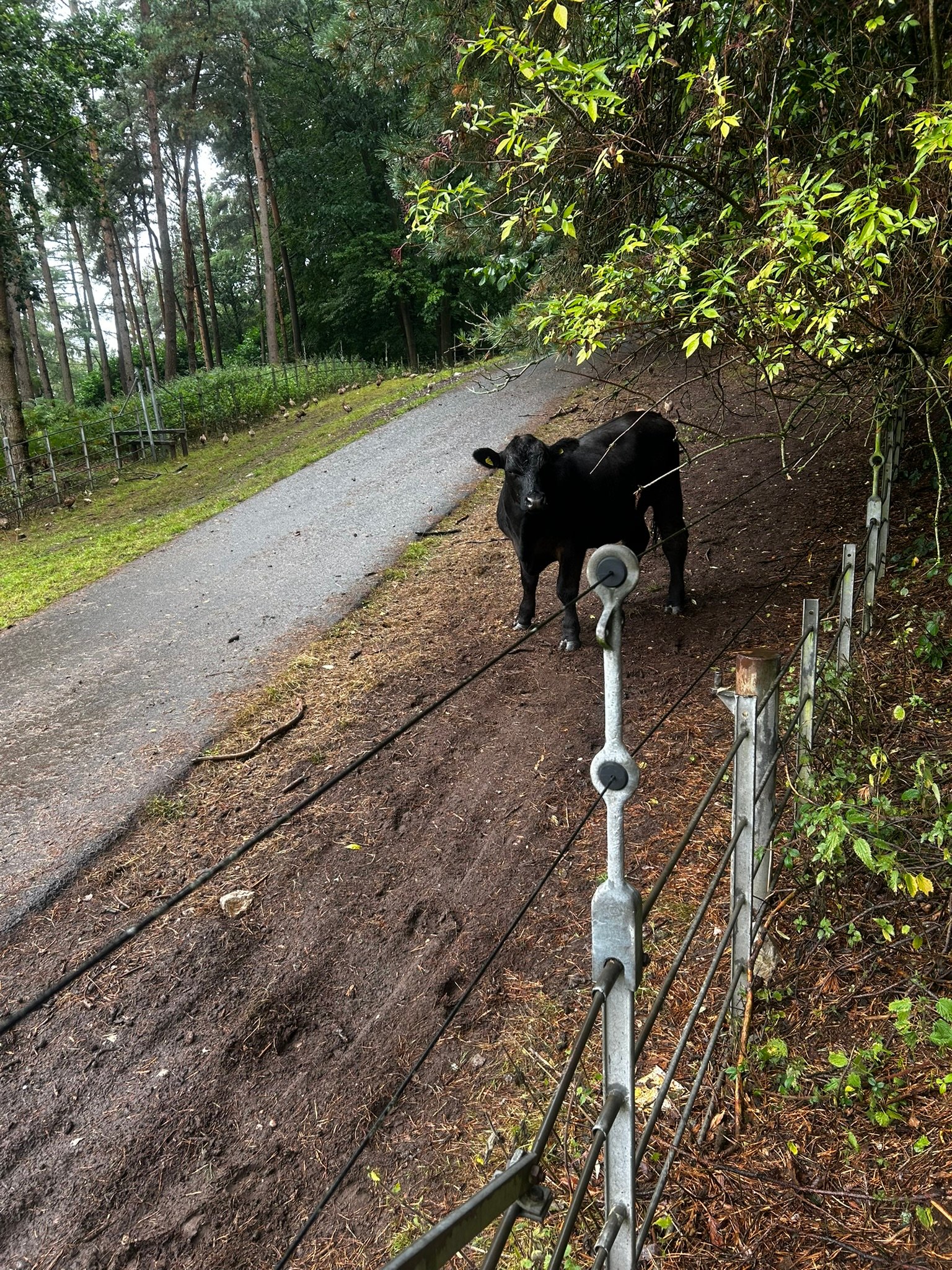
Naughty Bull!
08.09.26
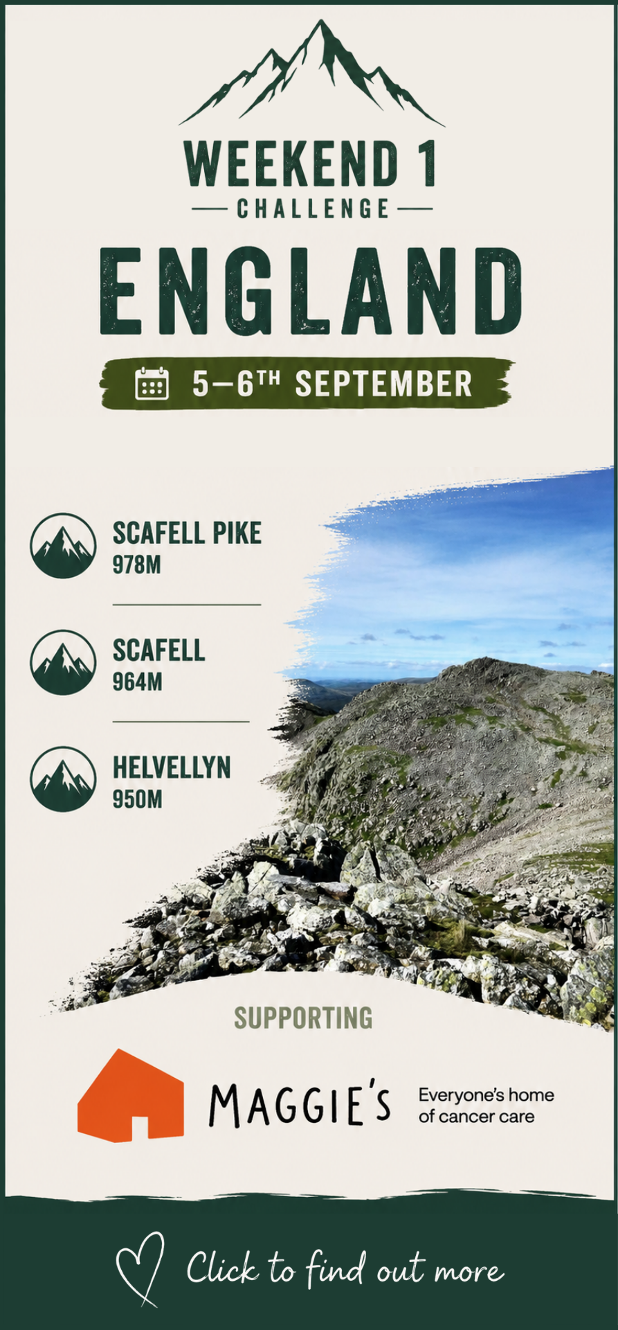
3x3 Peaks Challenge – Day 1: Sca Fell & Scafell Pike, Saturday 5th September
After almost a year of training and planning, it was finally here. Day one of the 3x3 Peaks Challenge – and we weren't exactly easing ourselves into it!
As we set off on Saturday morning we could already see a queue of walkers in the distance heading towards Scafell Pike. We saw plenty of people as we climbed, but we were taking a different route to most, heading for Mickledore, which we knew should be quieter.
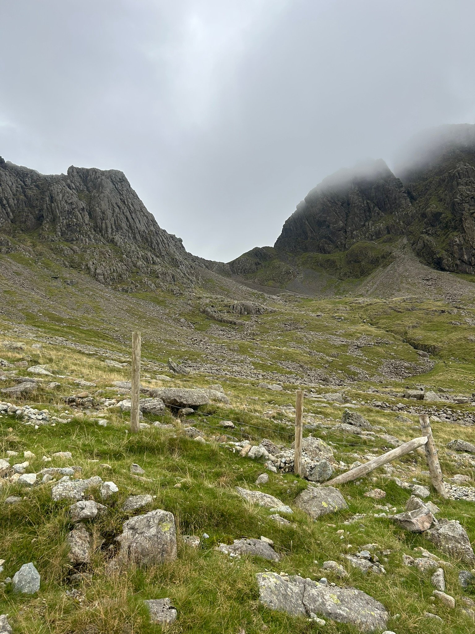
After crossing the stream we peeled off to the right and started making our way up the scree towards Mickledore Col. The final section took us up a gully – my first proper experience of scrambling up one. It was a little nerve-racking, but thankfully fairly short and quickly done.
Once on the col we stopped and reassessed what came next: dropping down towards Foxes Tarn before climbing all the way back up to Sca Fell.
Mentally, this was tough. The descent was steep, there was more scree and, of course, we knew that everything we were about to go down we'd have to come all the way back up again!
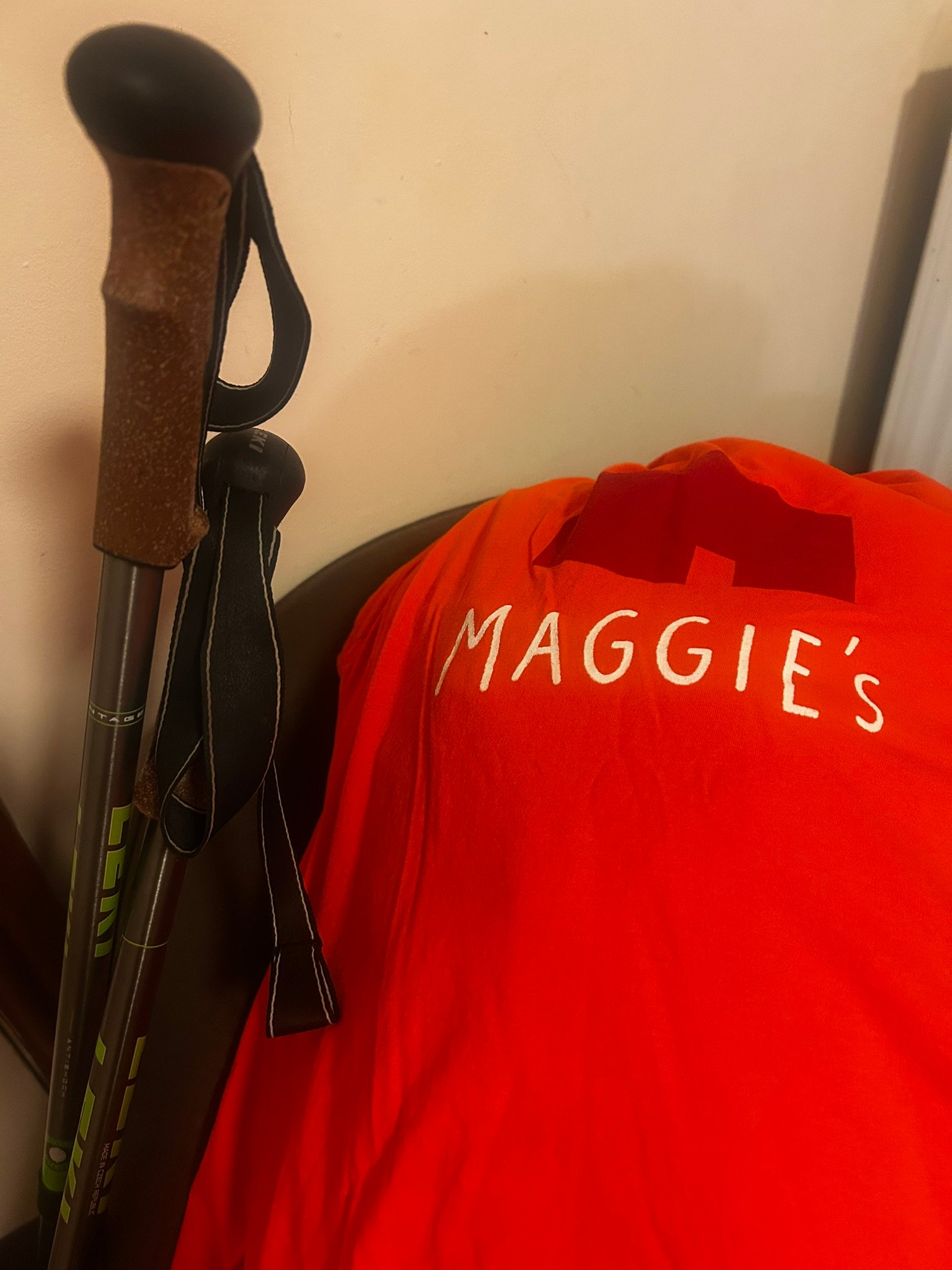
Ready to Go
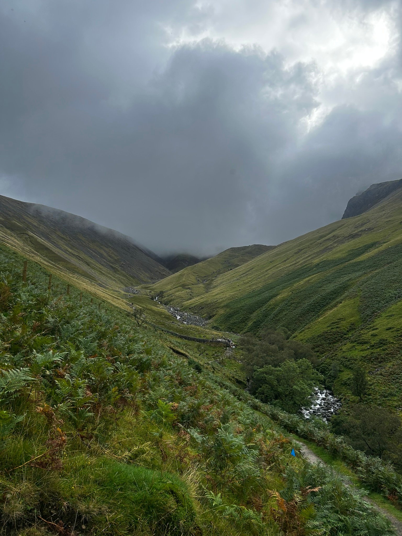
Early Climb & seeing the queue
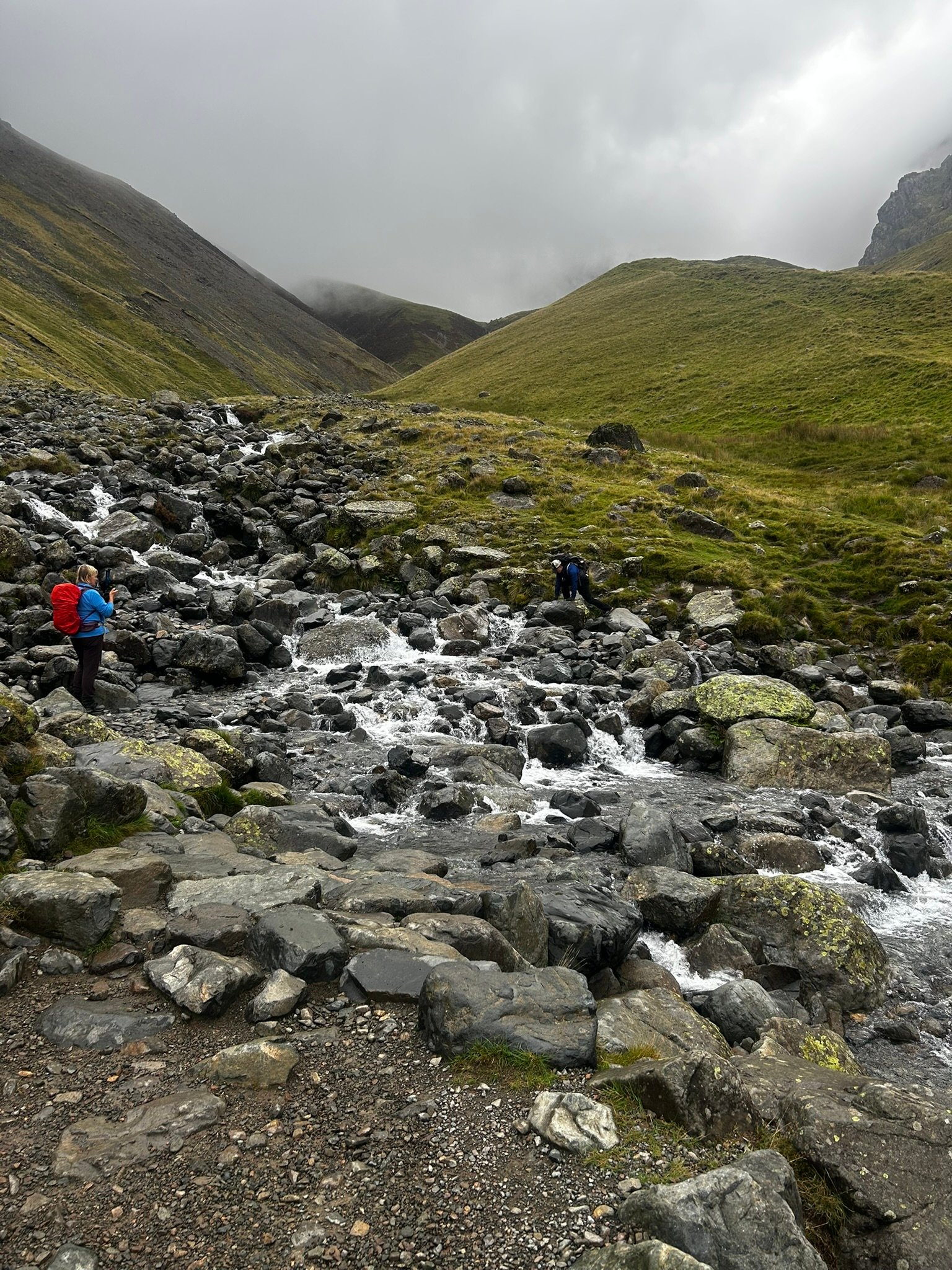
Crossing the Stream
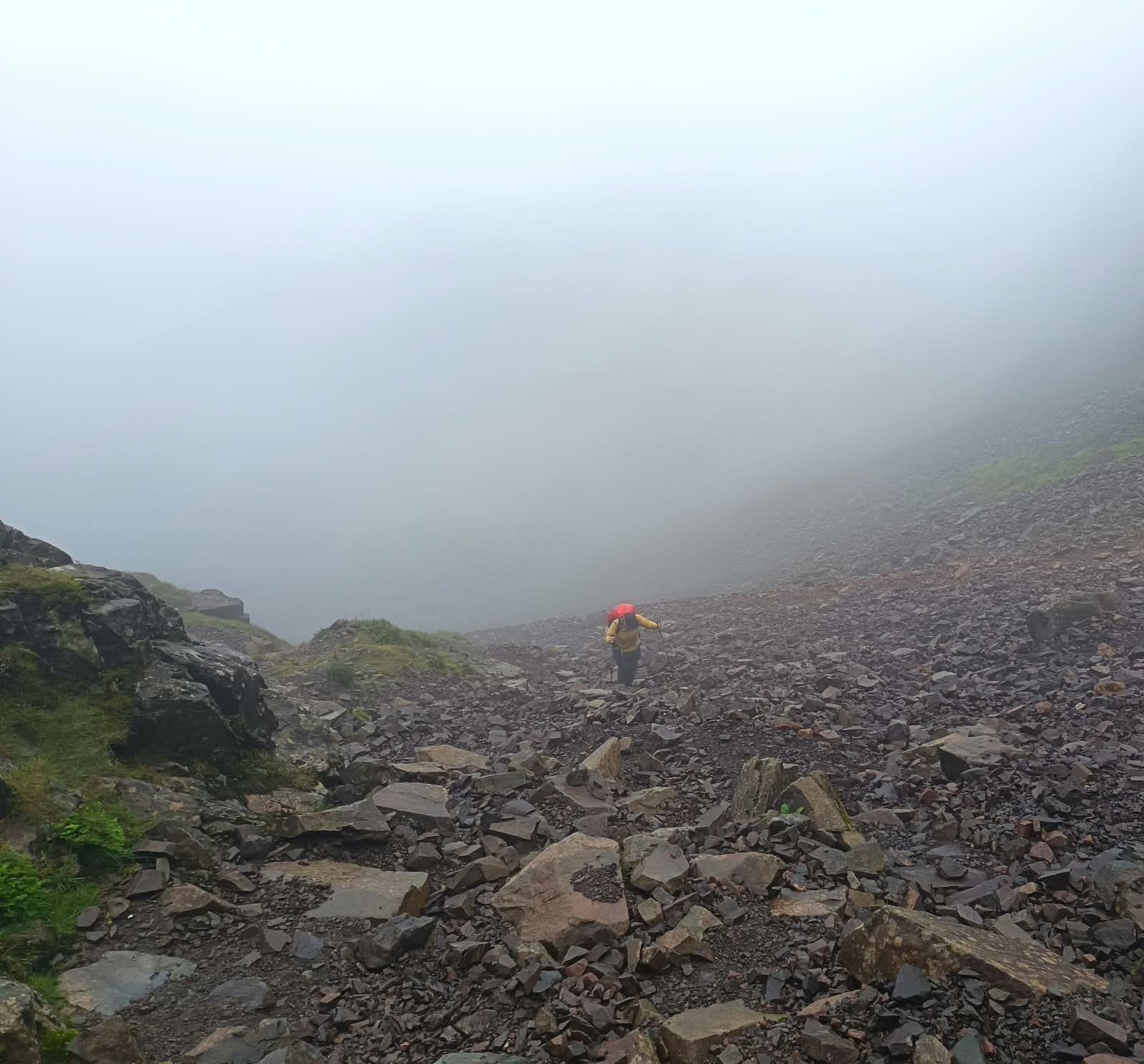
Up the Scree Slope No.1
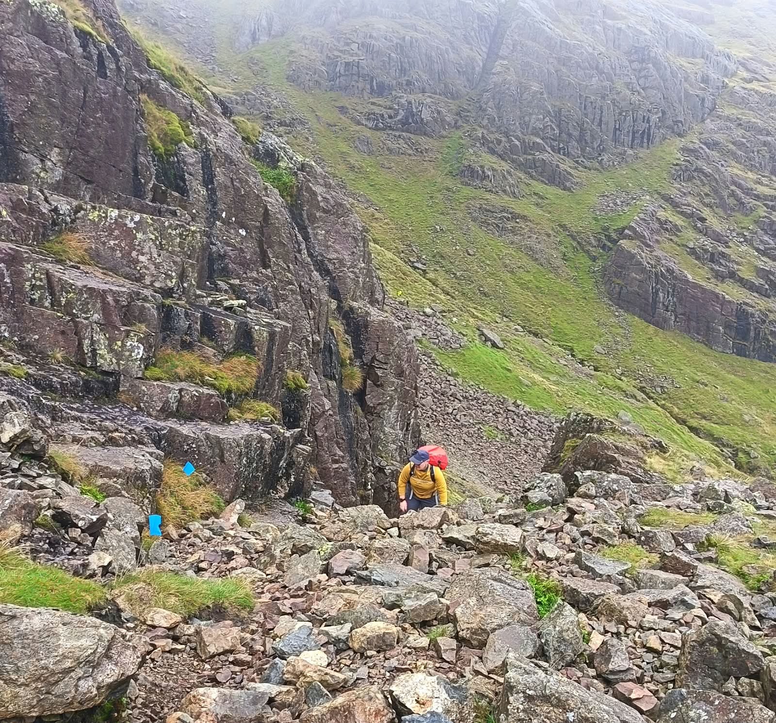
Up the Gully No.1
Down we went, occasionally being passed by runners taking part in an ultramarathon. As it happened, they were going our way, which proved very useful – suddenly we had little blue race flags helping to mark our route.
As we descended we heard some people ahead of us say, "Do we have to go up that?!"
Then what they were looking at came into view.
Oh boy.
Another gully – except this one had a stream running down it and looked immense from below.
Off we went. Up, up, up. Carefully placing feet, finding handholds and trying to stay out of the water wherever possible.
And I bloody loved it!
After a small section of slightly more level ground we were straight into another gully. Thankfully this one was dry and not quite as steep, before the final big pull towards Sca Fell over increasingly loose scree.
As we climbed higher we disappeared into the cloud. The ground eventually levelled out, the clag thickened and the wind picked up. One final walk across stones and small boulders and we'd made it.
Sca Fell – 964m. Peak 1 of 9.
I'm going to admit it: I was slightly underwhelmed by the summit! No real distinguishing feature, no view thanks to the clag and – perhaps most disappointingly – no trig point!
But none of that changed the fact that we'd just bagged the first mountain of the challenge.
A few photographs, something to eat and then it was time to turn around and retrace every bit of that route.
The loose scree immediately lived up to its reputation and I ended up on my bum a couple of times. Getting back down the gullies was… interesting. There was some strategic bum-shuffling when my legs simply weren't long enough to reach the next foothold and, thanks to that stream-filled gully, I acquired a rather wet backside.
I'd loved climbing them. Coming down them was considerably less friendly!
Then came my lowest point of the whole day.
The long climb back up the scree towards Mickledore.
By now I was feeling pretty beaten and that slope seemed to go on and on and on. Every step was a battle. I tried not to look too far ahead and concentrated on one slow plod after another.
Eventually – thankfully – I reached the top.
Except we still weren't finished.
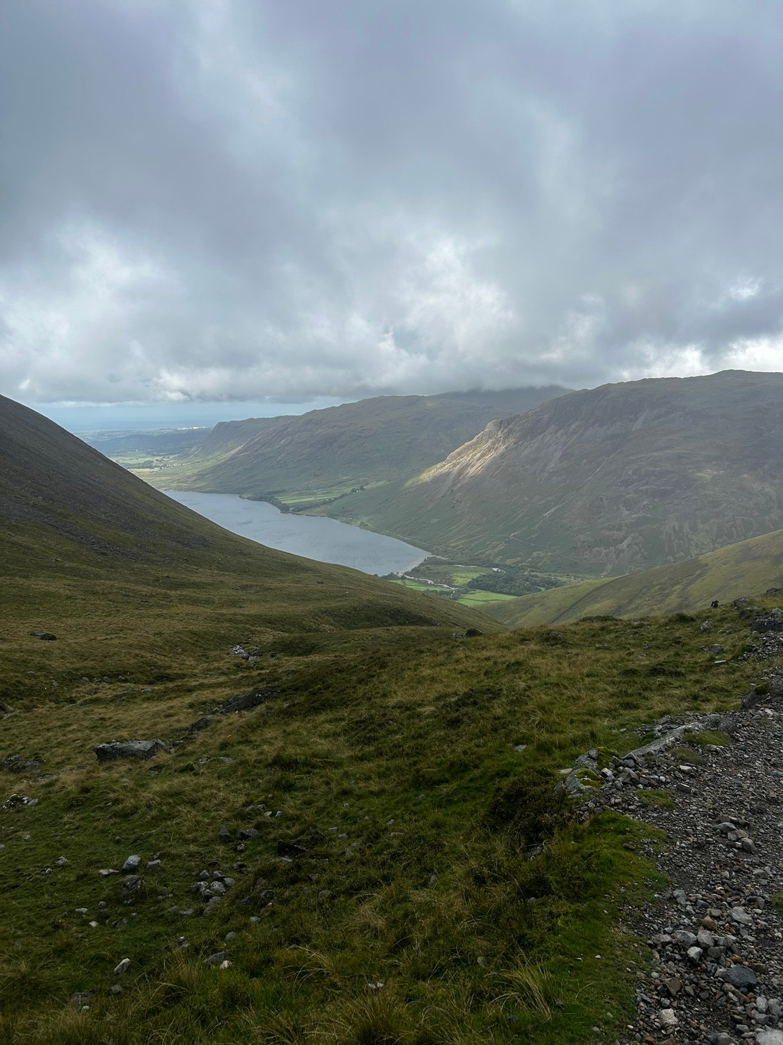
Quick Look Back
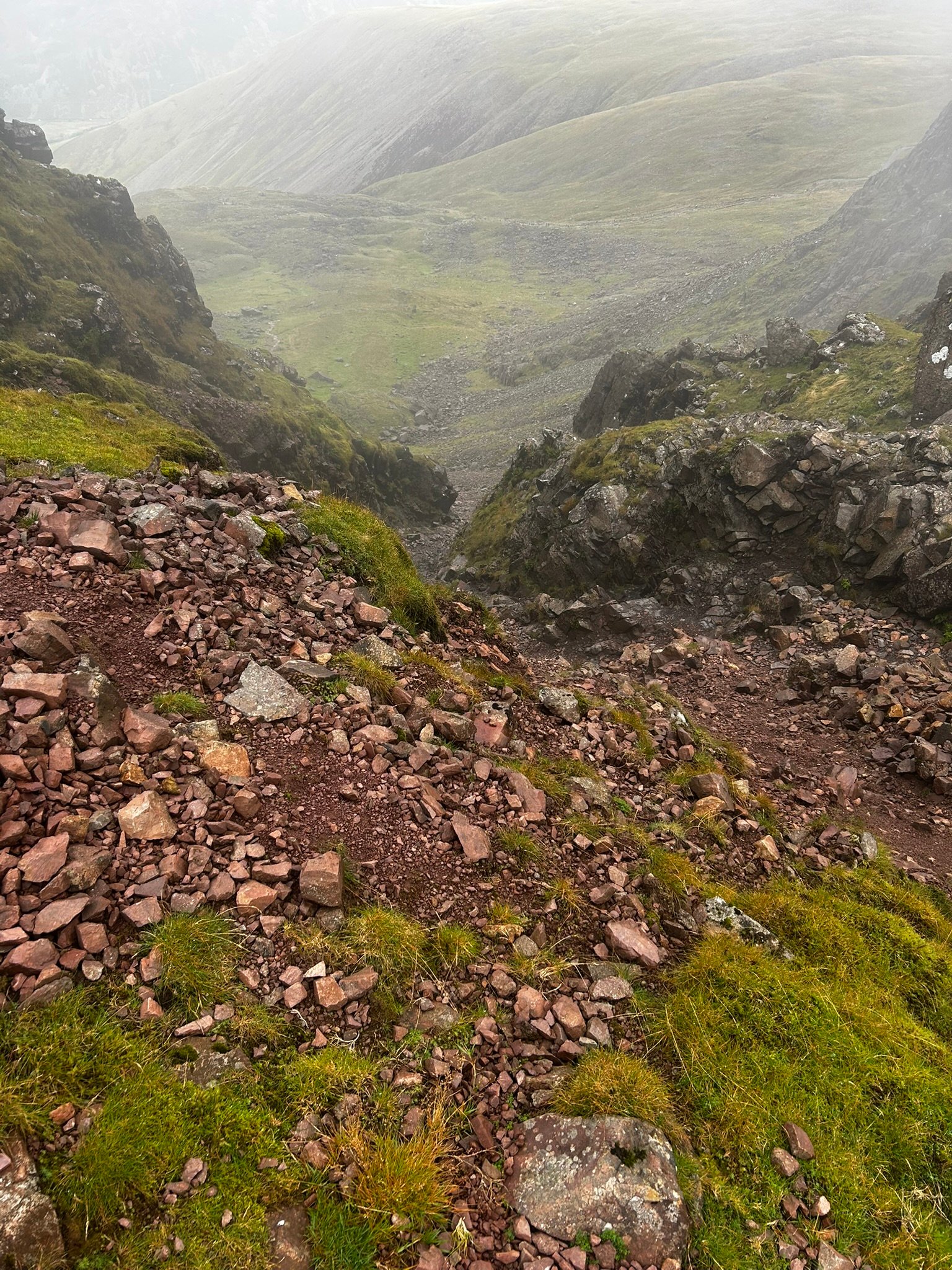
Down towards Foxes Tarn
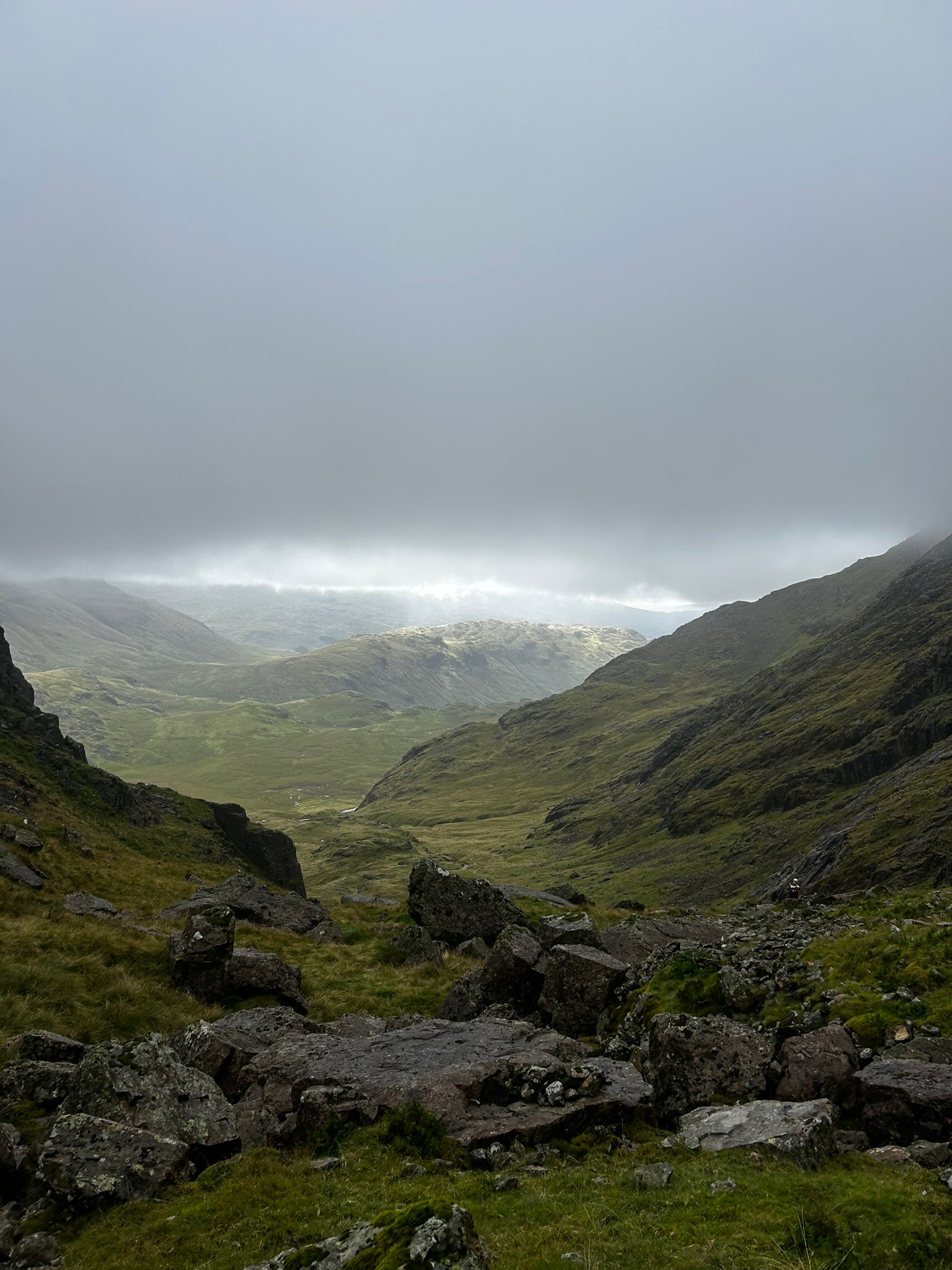
View down the Valley
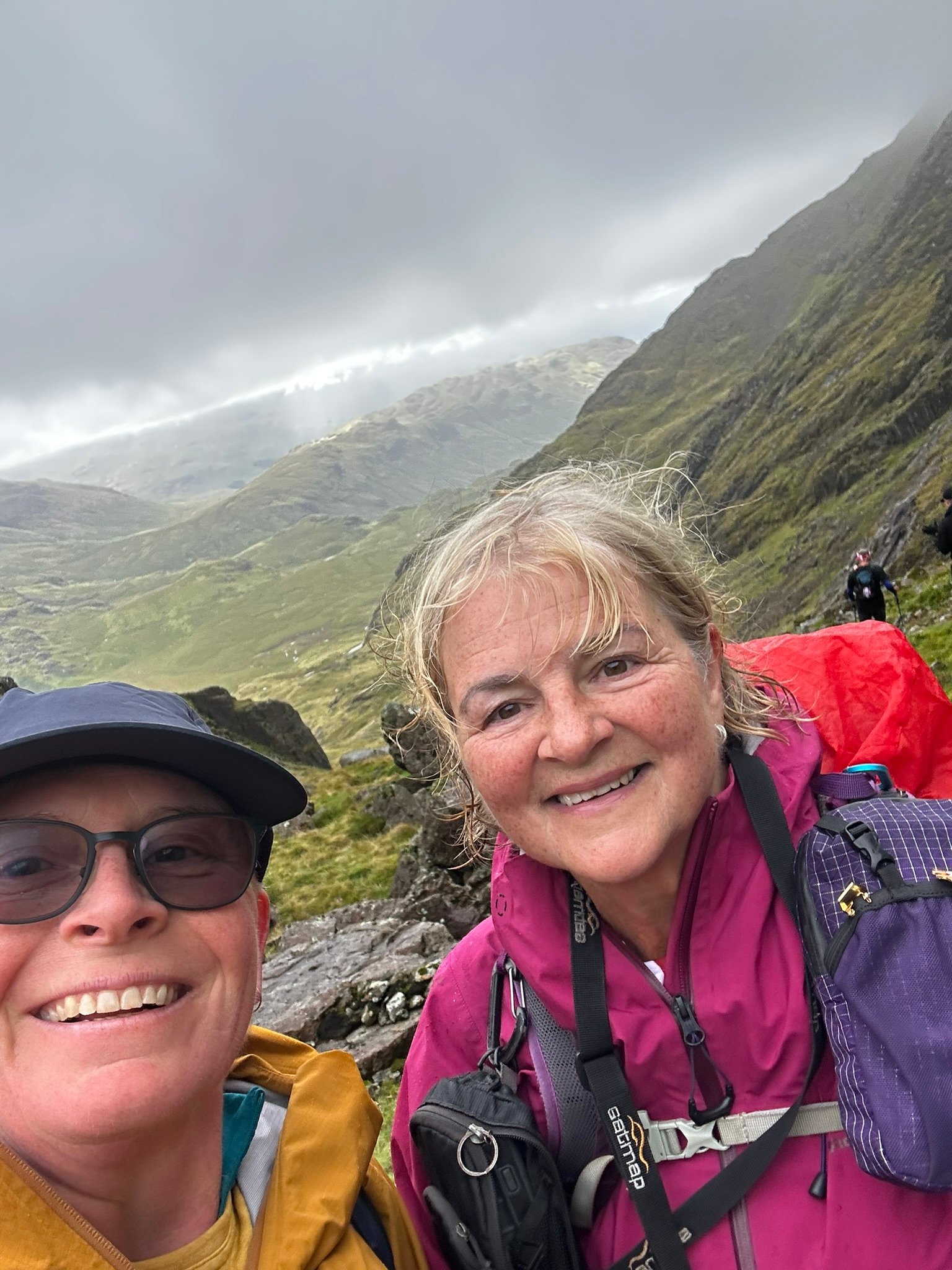
Smile!
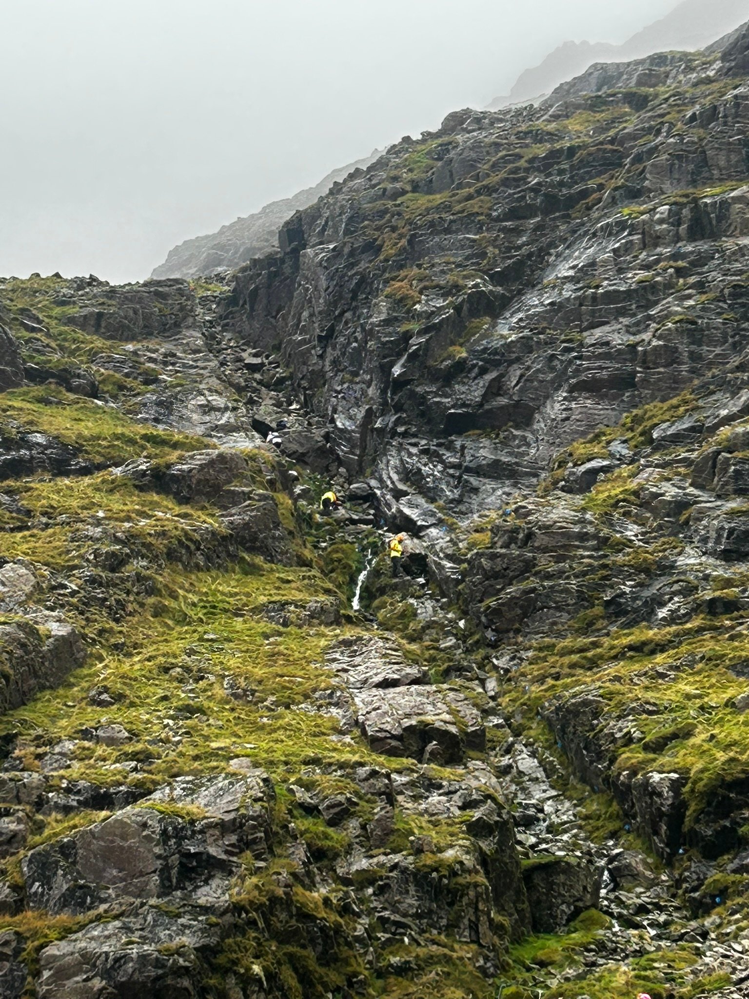
Gully No.2
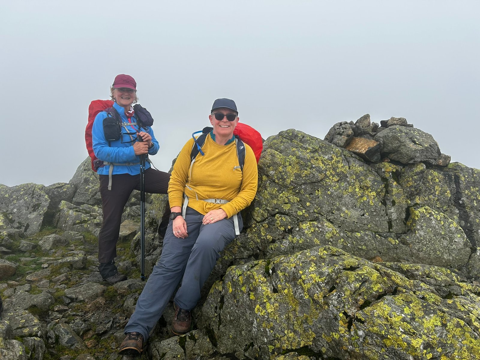
Sca Fell Summit
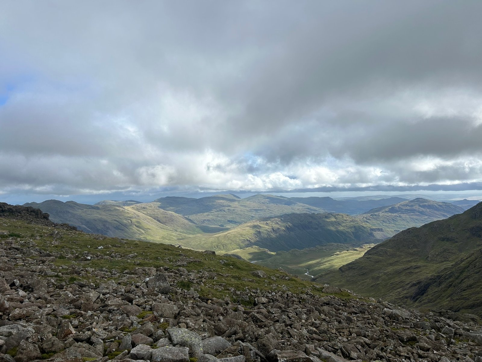
Checking out the View
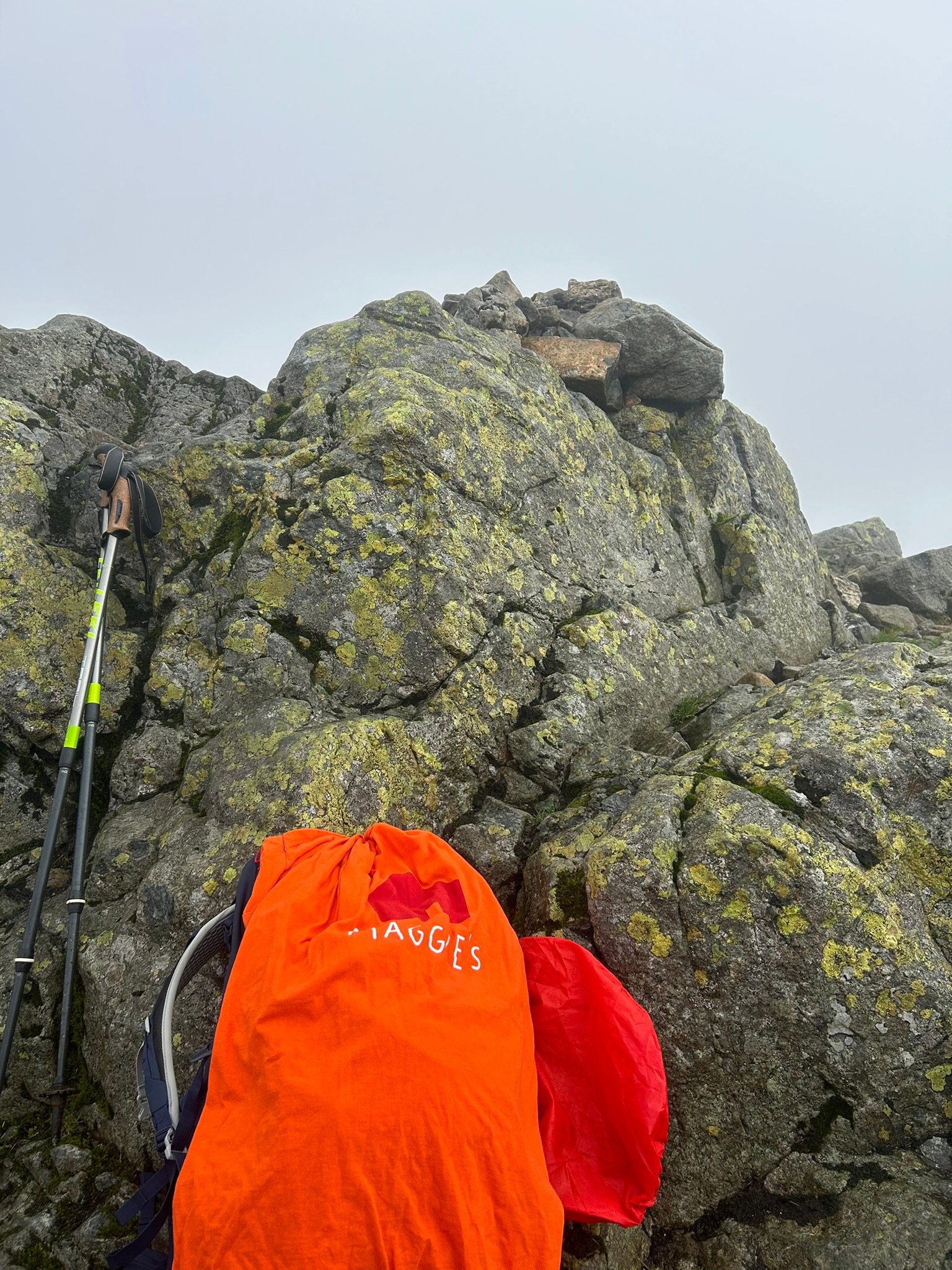
Maggies at Sca Fell Summit
Look right. More up.
This time across a boulder field towards Scafell Pike. We didn't immediately pick up the path, so for a while we were right in amongst the boulders. The ultramarathon runners hadn't come this way either, so our helpful little blue flags had disappeared!
Jayne eventually spotted the cairns marking the proper footpath, we adjusted our route and carried on.
And then we saw it.
Scafell Pike.
The cloud had cleared, we could see the summit ahead and, after spending so much of the day on quieter routes, seeing plenty of other people up there was strangely welcome.
And this summit did not disappoint.
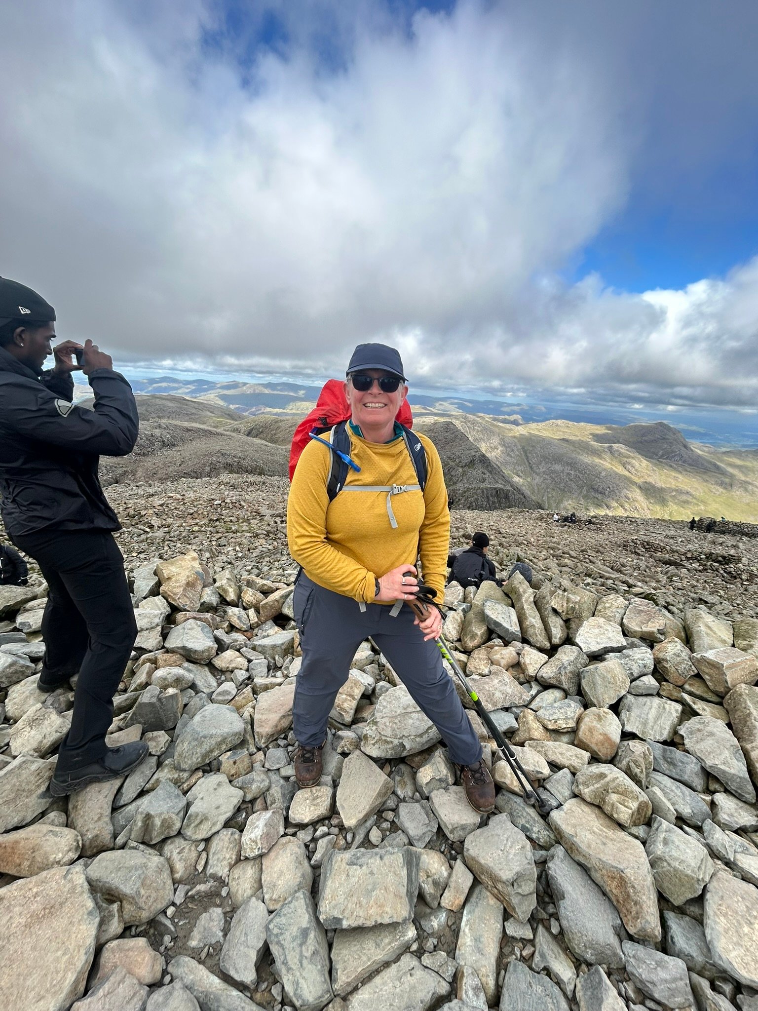
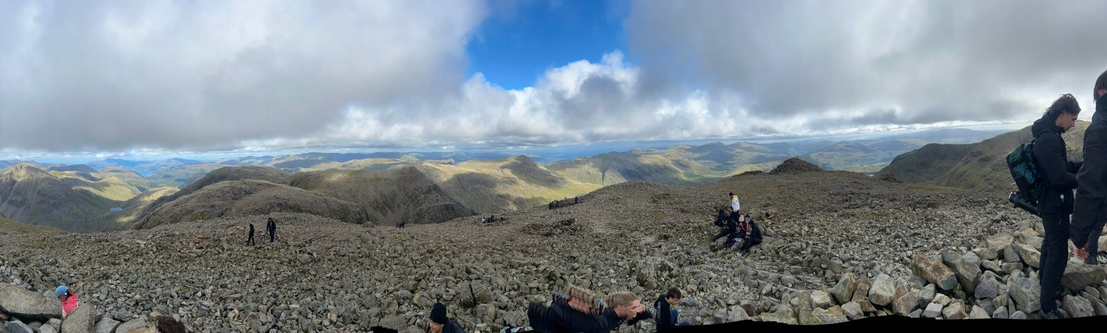
The views were absolutely stunning. There were happy people everywhere – some arriving and leaving almost immediately as part of the National Three Peaks Challenge, others milling around, chatting and taking everything in.
And there was a trig point.
Happiness restored!
Scafell Pike – 978m. Peak 2 of 9.
More photographs, a chance to enjoy the view and then there was just one small matter remaining.
Getting back down.
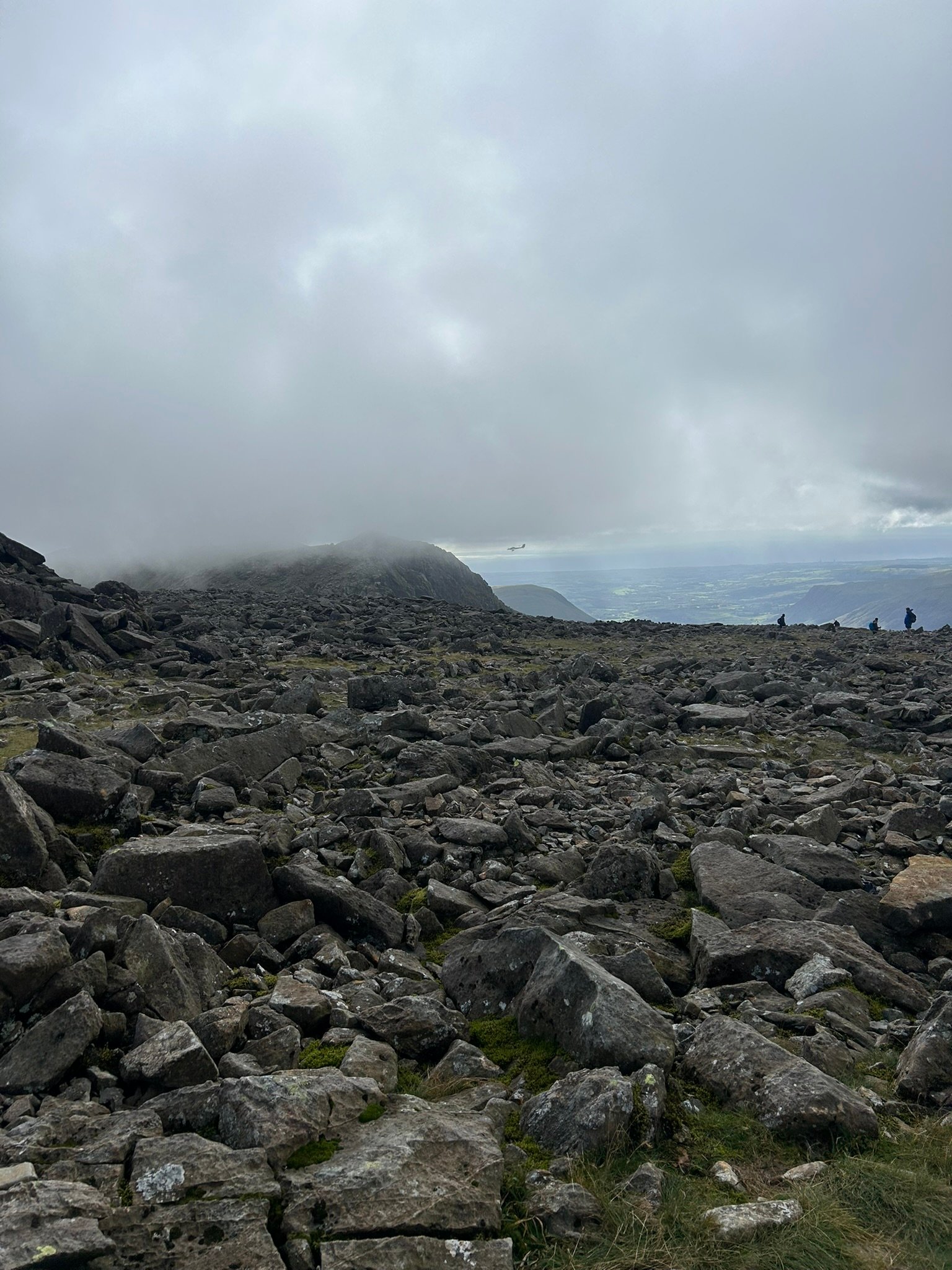
As we started our descent we had one of the most surreal moments of the day. Two light aircraft flew through Mickledore Col, pretty much level with our eyeline. Watching aeroplanes flying through the mountains rather than looking up at them was quite a sight.
Then began the two-hour descent.
It was almost entirely rock and stone steps and my knees started complaining pretty much from the outset – although by then we'd already been out for more than seven hours, so I couldn't entirely blame them.
We slowly weaved our way down while plenty of people were still heading upwards. Maybe they were aiming for sunset, maybe they weren't going all the way to the summit – either way, I was very glad to be travelling in the opposite direction!
Back across the stream and finally the gradient began to ease. Eventually we saw something we'd barely encountered all day.
Grass!
We'd reached the valley floor.
From there it was just a short walk along the road to our hotel. A shower and a beer were both extremely welcome!
And then I looked at the stats for the day…
9.2 miles (14.8 km)
1,353 metres (4,439 ft) of ascent
9 hours 33 minutes on the mountain
2 of England's highest mountains
It was easily one of the toughest days I've ever done. The distance itself wasn't huge, but that really doesn't tell the story – more than 1,350 metres of climbing, steep scree, gullies, scrambling, boulder fields and a long rocky descent made every mile count.
I'd trained for months for this challenge, but this was the first time I really understood quite how much it was going to test me.
Day 1 complete. Two peaks down. Seven to go.
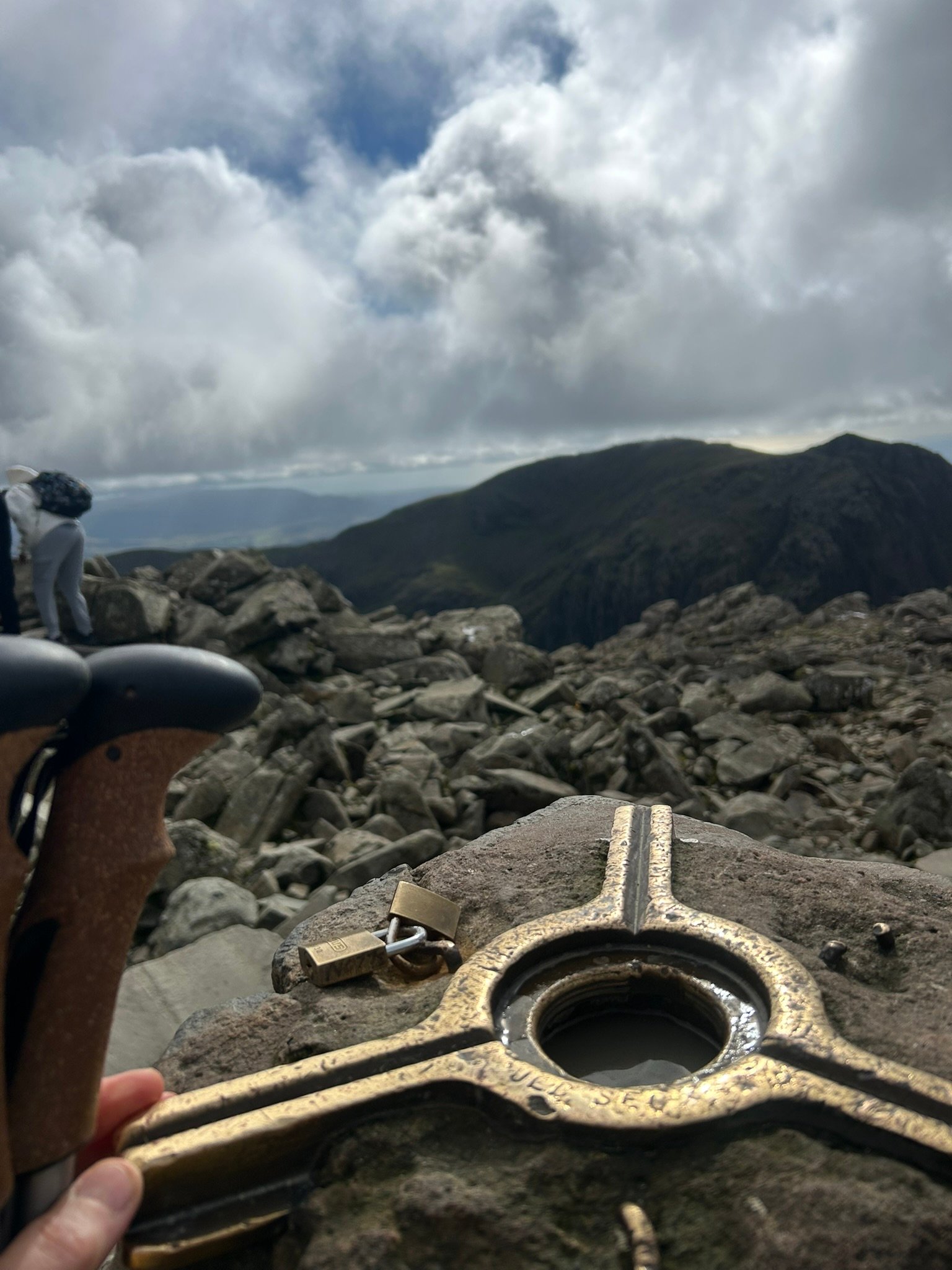
Scafell Pike Trig Point
The Top of England
What a View
Spot the Plane
Looking over to Mickledore
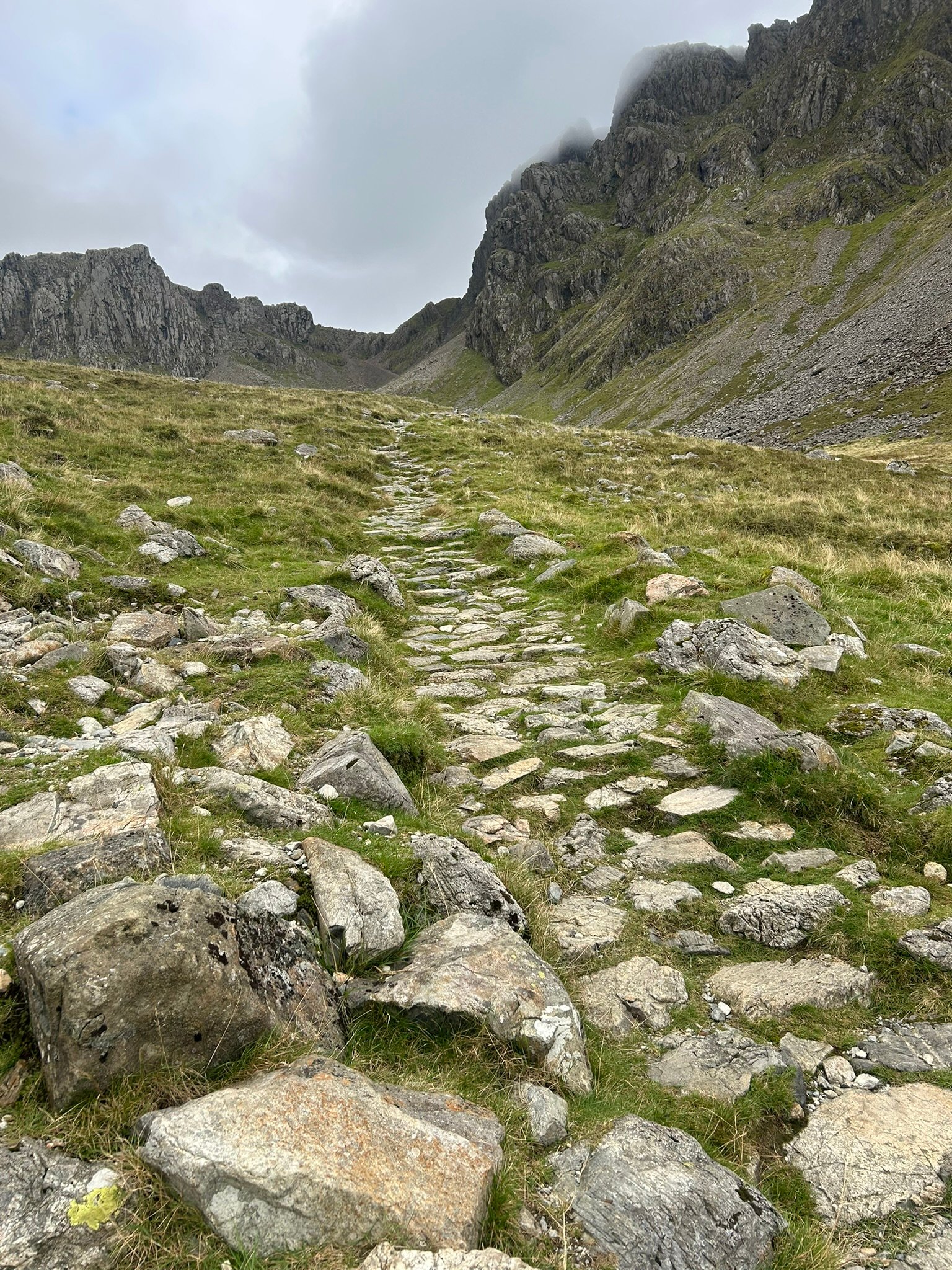
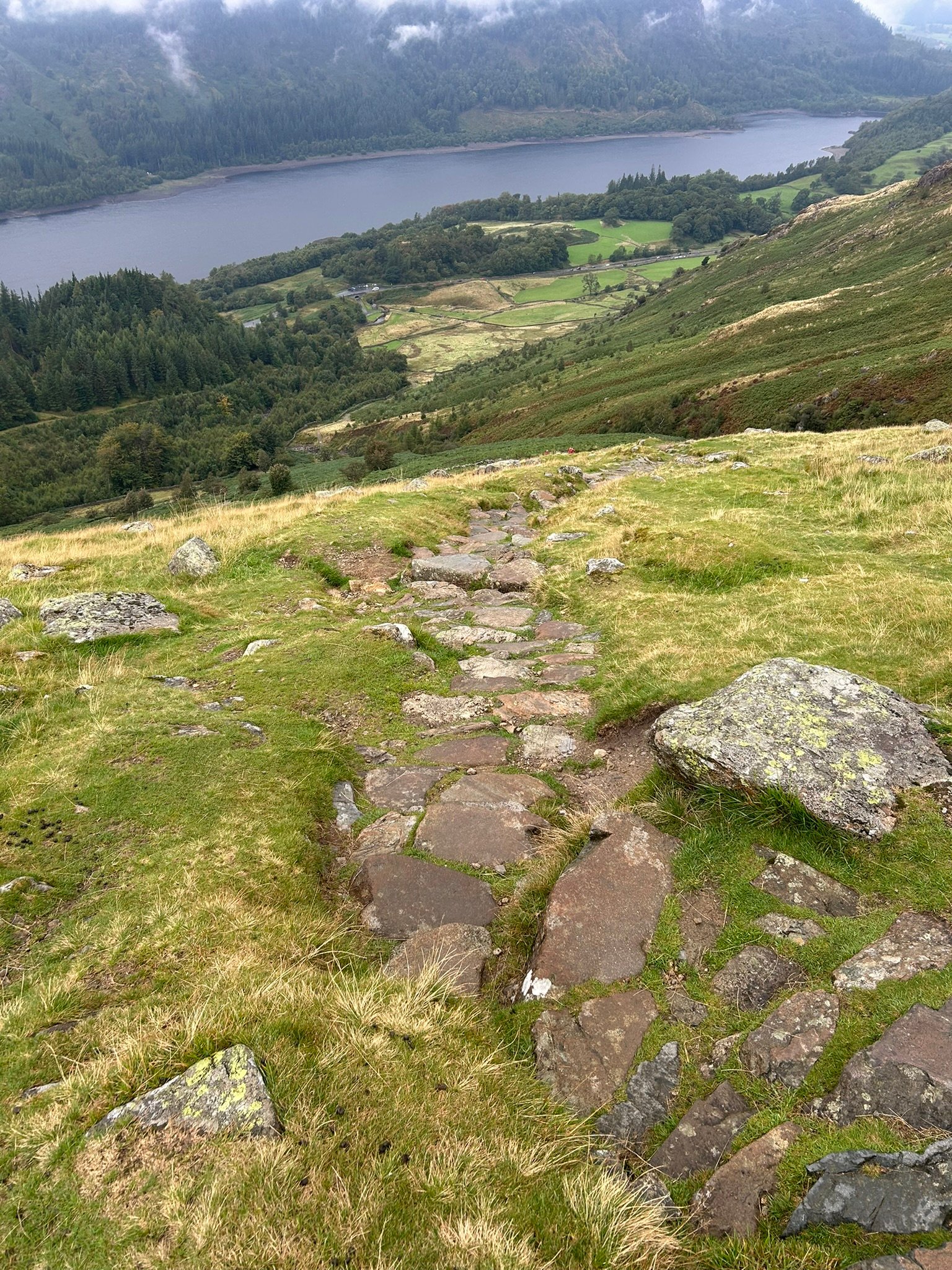
Heading Down
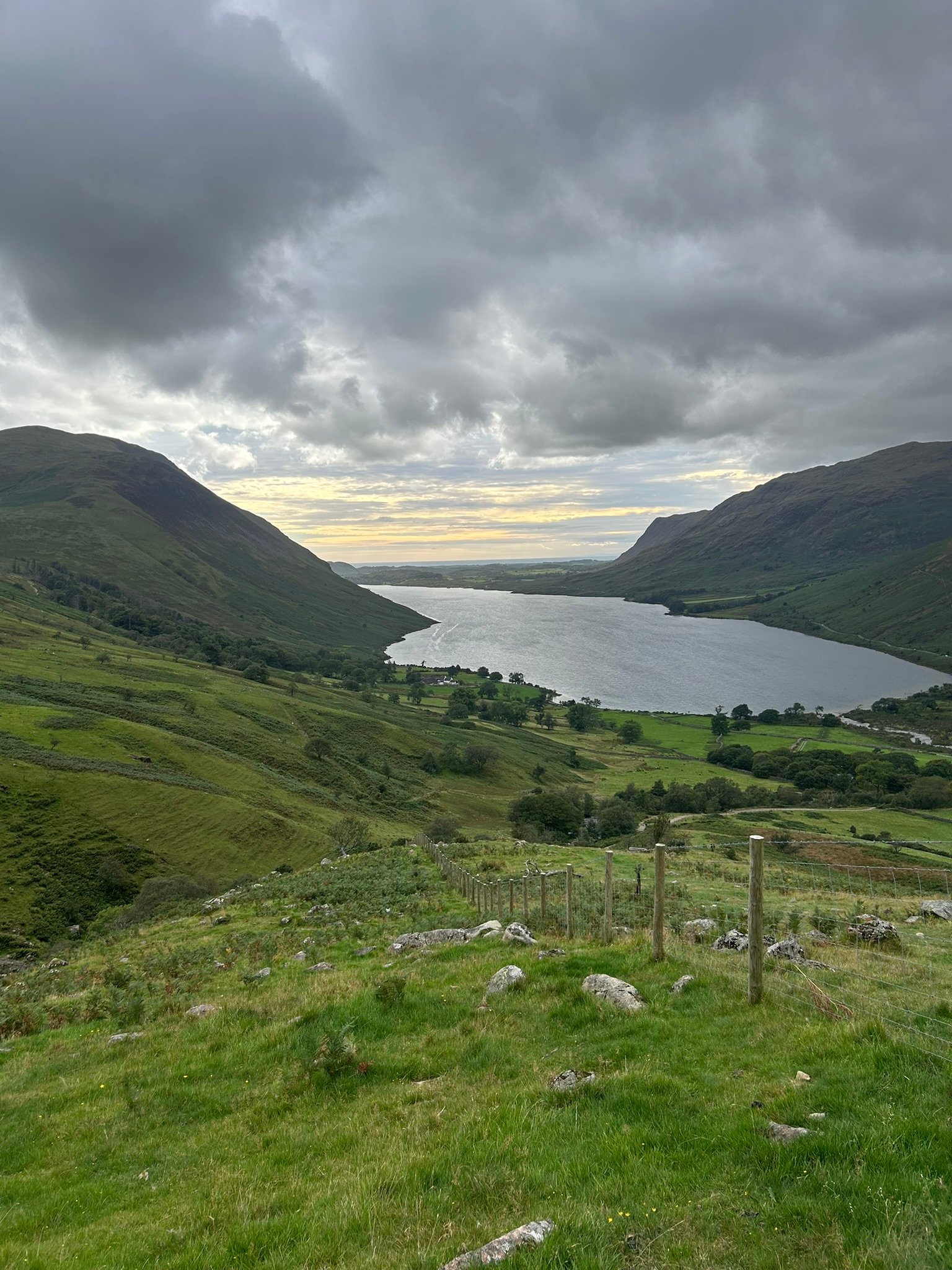
Down to Wast Water
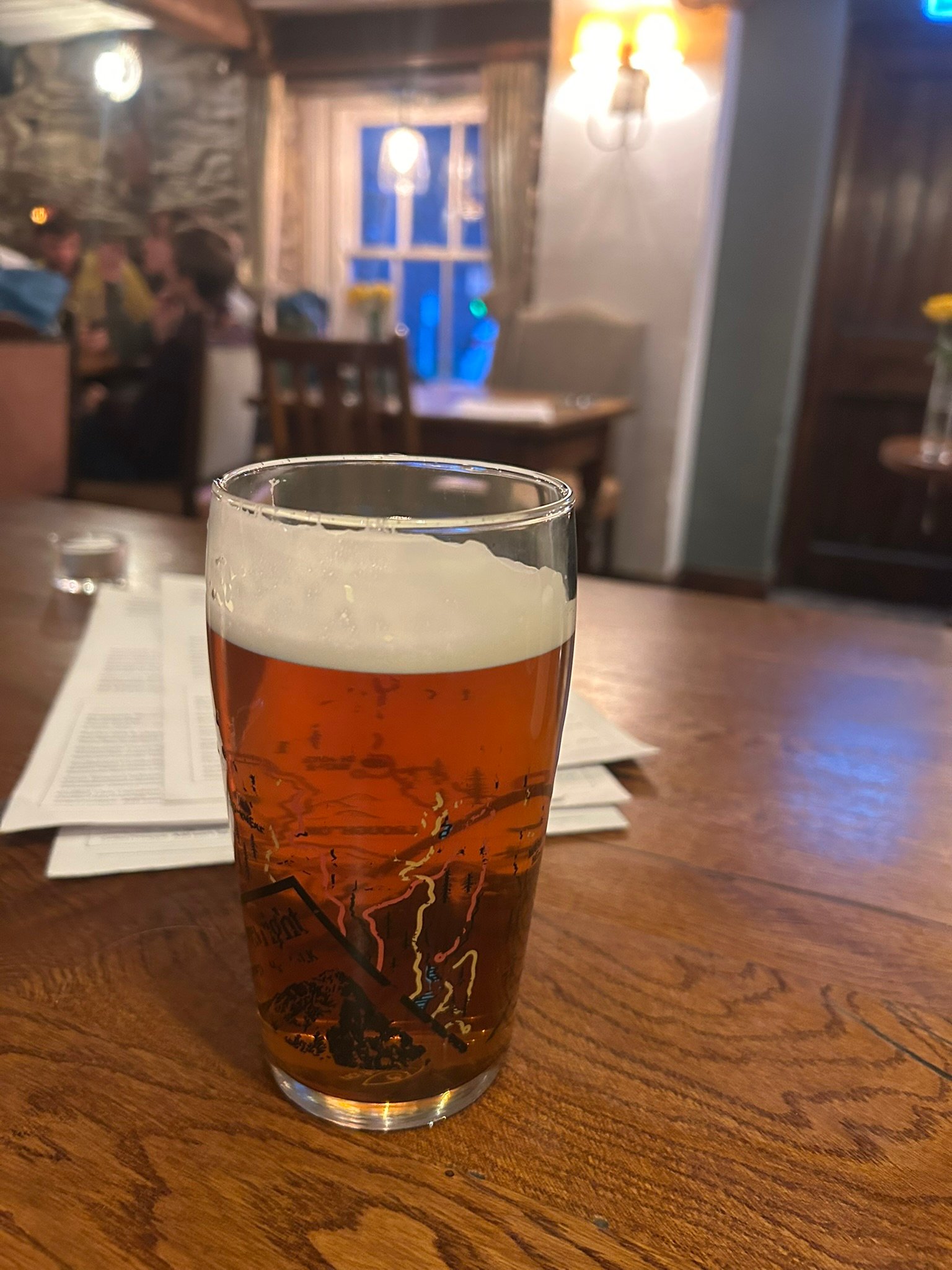
I was Ready for this.
3x3 Peaks Challenge – Day 2: Helvellyn, Sunday 6th September
Day 2 started after a disturbed night's sleep and with a churning stomach.
I was still thinking about the day before, but my brain had also decided this was the perfect time to start projecting ahead to the even bigger days waiting for me in Scotland. After more than nine hours on the mountains on Saturday, I was exhausted – and feeling pretty overwhelmed by what I'd signed myself up for.
Over dinner the night before, Jayne and I had already made one decision. Our original plan to tackle Helvellyn via the exposed and challenging Striding Edge and Swirral Edge horseshoe was a no-go. The forecast said windy, I was shattered and we'd had a much tougher first day than anticipated. So the "easier" route from the Thirlmere side it was.
Breakfast wasn't particularly successful either. I was so wound up and tired that I could hardly eat. Every mouthful was a battle and I genuinely felt as though I had a hangover. Jayne assured me this can be a thing after a big mountain day. There we are. At 55 years old, I experienced my first ever walking hangover!
What I really needed was just to get started. A quick drive to the car park, a final check of the route on the GPS and we were ready to go.
Within minutes of leaving the car, the waterproofs were on. The first heavy shower didn't last too long, but it was pretty obvious that the weather was going to be against us on and off throughout the day. The climbing started almost immediately, and when I saw the rocky terrain and stone-stepped footpath ahead, my heart sank slightly. More of yesterday's plodding required.
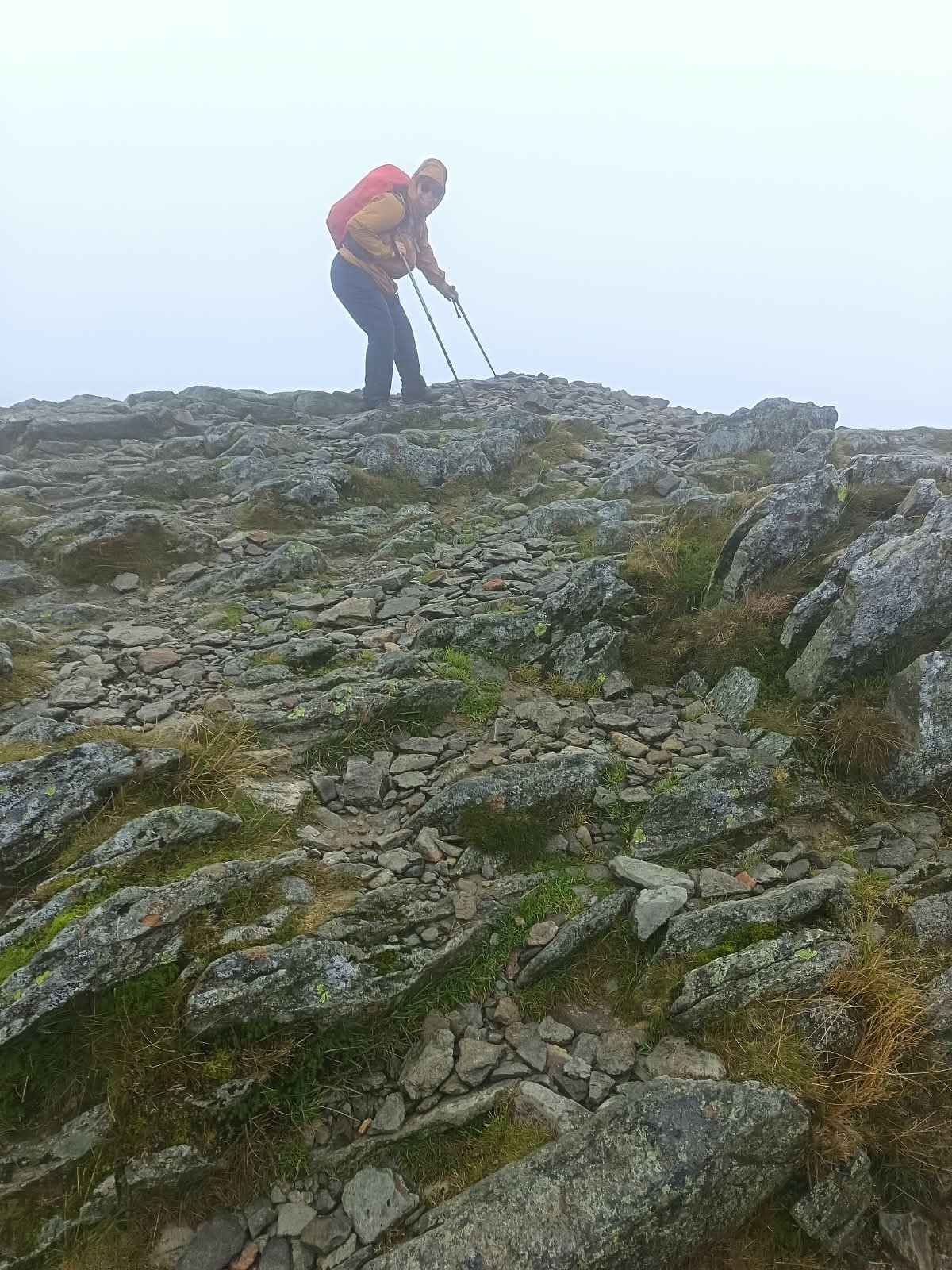
We settled into our individual plodding pace, stopping regularly for a breather and occasionally getting a glimpse of the views as the clouds allowed. About halfway up, the wind started to make itself known. The gusts became stronger and at times I was using my walking poles to brace myself against them.
Higher again. Windier again. And then the clag started coming down. We were walking into the clouds.
A few people coming in the opposite direction gave us a warning as they passed: "It's properly windy at the top." OK then. Here we go.
As we got closer to the summit, the terrain changed. The steep stone steps finally gave way to a wider, shallower gradient with a well-trodden gravel and stony path ahead. Visibility was getting worse and the wind was now fierce. This wasn't the occasional gust we'd experienced lower down, it was a relentless crosswind that made simply walking in a straight line more difficult. I'd never experienced anything quite like it. Gale-force winds of around 40–50mph aren't something I'd routinely choose to venture out in, so this was a bit of a shock to the system! Then the visibility dropped further. For one stretch the wind seemed to get even stronger and Jayne was beginning to disappear into the clag ahead of me. Yep. I was a tad scared.
The rain covers had worked loose on both of our backpacks and I was actually rather pleased when Jayne stopped to sort hers out. I caught up and did the same with mine. Getting the backpack onto my back again proved interesting. As soon as I swung it up, the wind caught it. One slightly precarious, wobbly moment later and it was back on.
At this point, I was prepared to turn around. I knew we were nearly at the summit, but this felt pretty extreme to me. Whereas I was finding it scary, seasoned walker Jayne was finding the whole thing rather exhilarating! When I voiced my concerns, her calm reply was "It's OK. We're nearly there." That was enough to get me moving, on we went.
Then people started appearing through the fog. That was strangely reassuring – plenty of other people were clearly happy being up there. And then we started seeing runners. What the...? There was another race on! Apparently we'd managed to pick a second mountain race in two days.
The wind dropped very slightly as we approached the top and then, through the clag, the trig point started to appear. I was so relieved.
Helvellyn – 950m. Peak 3 of 9.
Obligatory photographs taken, a quick chat with a couple of other walkers and then the short walk across to the actual summit, a little further along. This small pile of rocks sits right on the edge of the ridge, and the wind was blowing towards it. Nope, not standing on that - I did touched the summit... At arm's length with my walking pole. 😂 Jayne was considerably braver and actually stood on it, but neither of us hung around by that edge for very long.
I was much happier once we turned around and started heading back the way we'd come. Interestingly, knowing what was coming made that fierce section of wind much easier on the return. I'd already experienced it once, I knew it wouldn't last forever and I felt far more comfortable going back through it. As soon as we reached the stone steps again, the wind began to ease. And so began another long downhill plod; two hours back to the car.
My knees weren't particularly impressed – again – but as we descended, the weather gradually transformed. The wind almost disappeared, the cloud lifted and eventually the sun came out. Suddenly we could see the beautiful landscape around us that had been completely hidden from view at the summit.
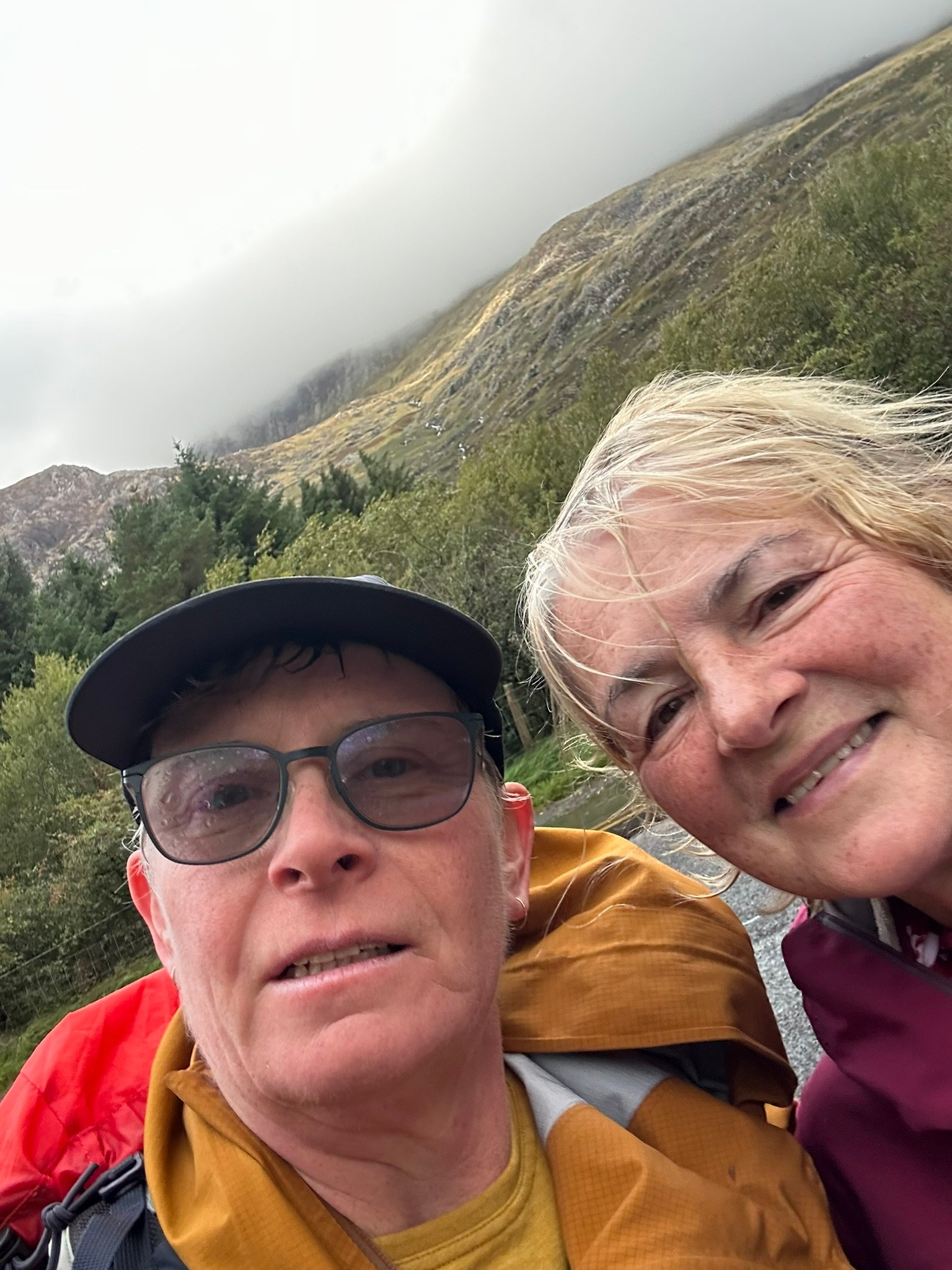
Partway down we stopped for a snack and I took the opportunity to get my charity photograph for Maggie's Centres, the charity I'm highlighting during the England weekend. All three challenge weekends are raising money for all three charities, but this weekend was my chance to shine a particular light on Maggie's and the incredible support they provide.
Further down we crossed a beautiful little bridge that I'd barely registered on the way up – probably because at that point it had been chucking it down! The last bit of descent finally dropped us back down into the car park, time for a quick comfort break, change into something dry, and into the car for the journey home.
Day 2 successfully done.
And the stats for the day...
4.83 miles (7.77 km)
844 metres (2,769 ft) of ascent
4 hours 30 minutes on the mountain
Helvellyn – 950m
It might have been less than half the time we'd spent on the mountains the day before, but with another 844 metres of climbing in tired legs – plus rain, clag and those winds – it certainly didn't feel like an easy day!
More importantly:
England complete.
Across the two days we'd clocked up:
14.03 miles (22.6 km)
2,197 metres (7,208 ft) of ascent
Just over 14 hours on the mountains
The three highest mountains in England
I'd started Sunday morning tired, anxious, struggling to eat and wondering how on earth I was going to manage not only Helvellyn, but the much bigger mountains still ahead of me. A few hours later, I'd completed the first stage of the challenge & felt ready for anything.
Sca Fell – 964m ✓
Scafell Pike – 978m ✓
Helvellyn – 950m ✓
3 peaks down. 6 to go.
Next stop: Scotland – and things are about to get considerably bigger!
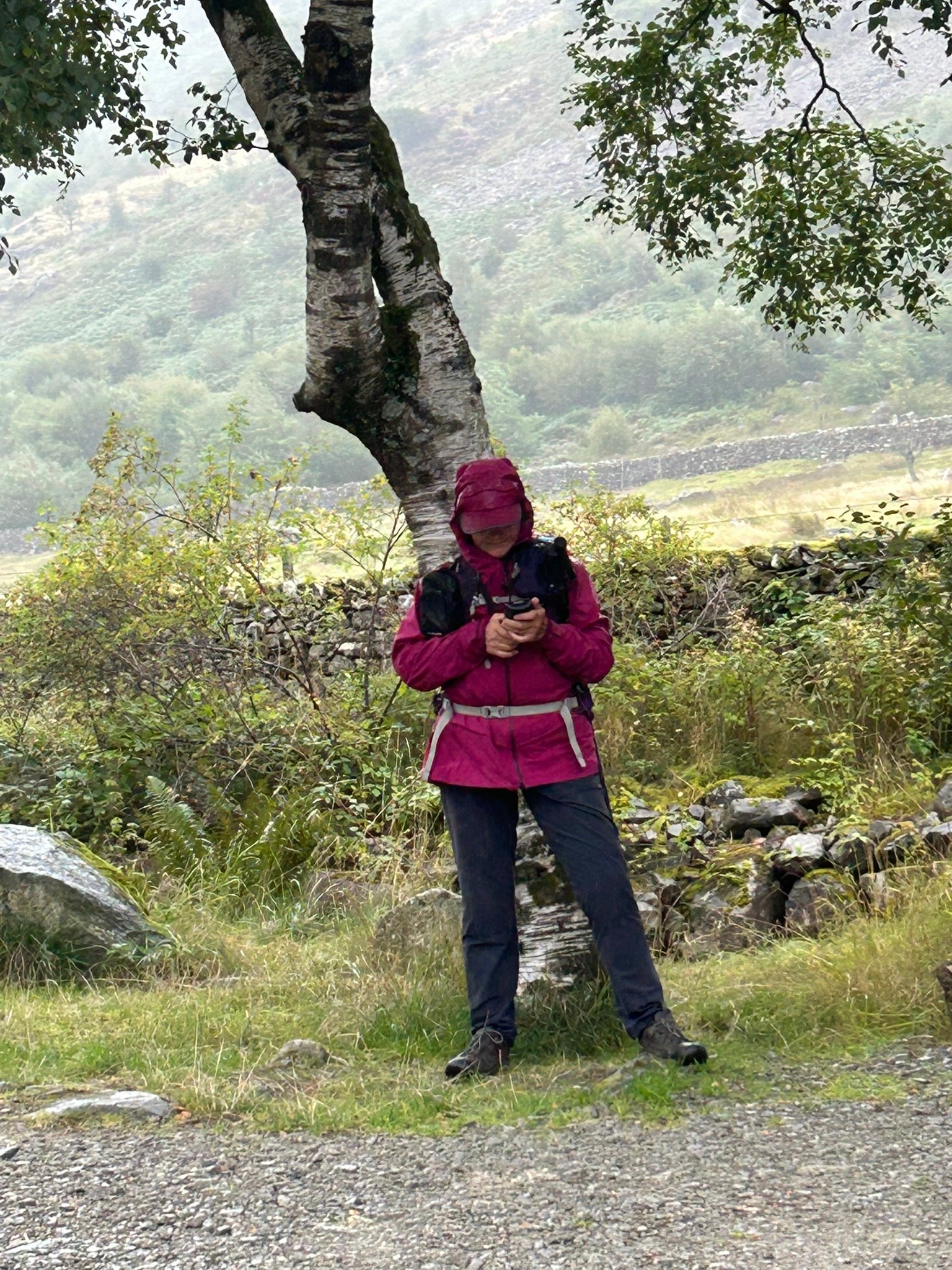
GPS Check
Heading Down
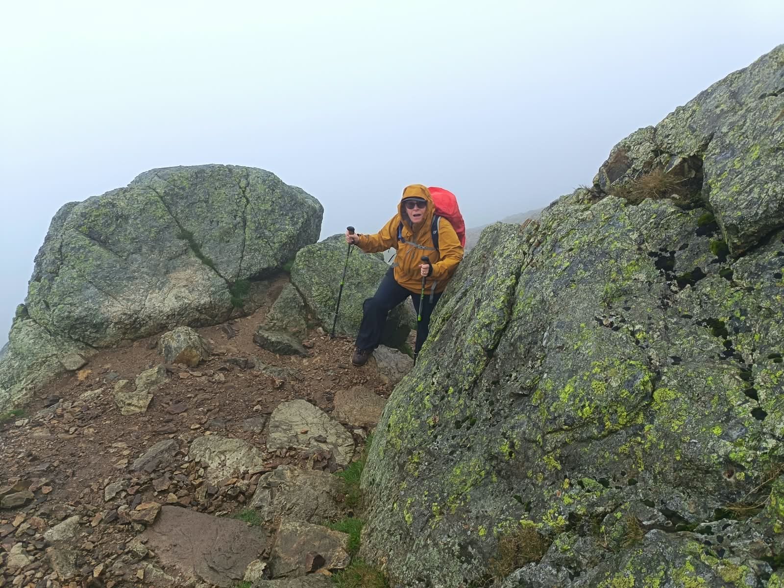
Concentration
Helvellyn Summit – Touching the Top
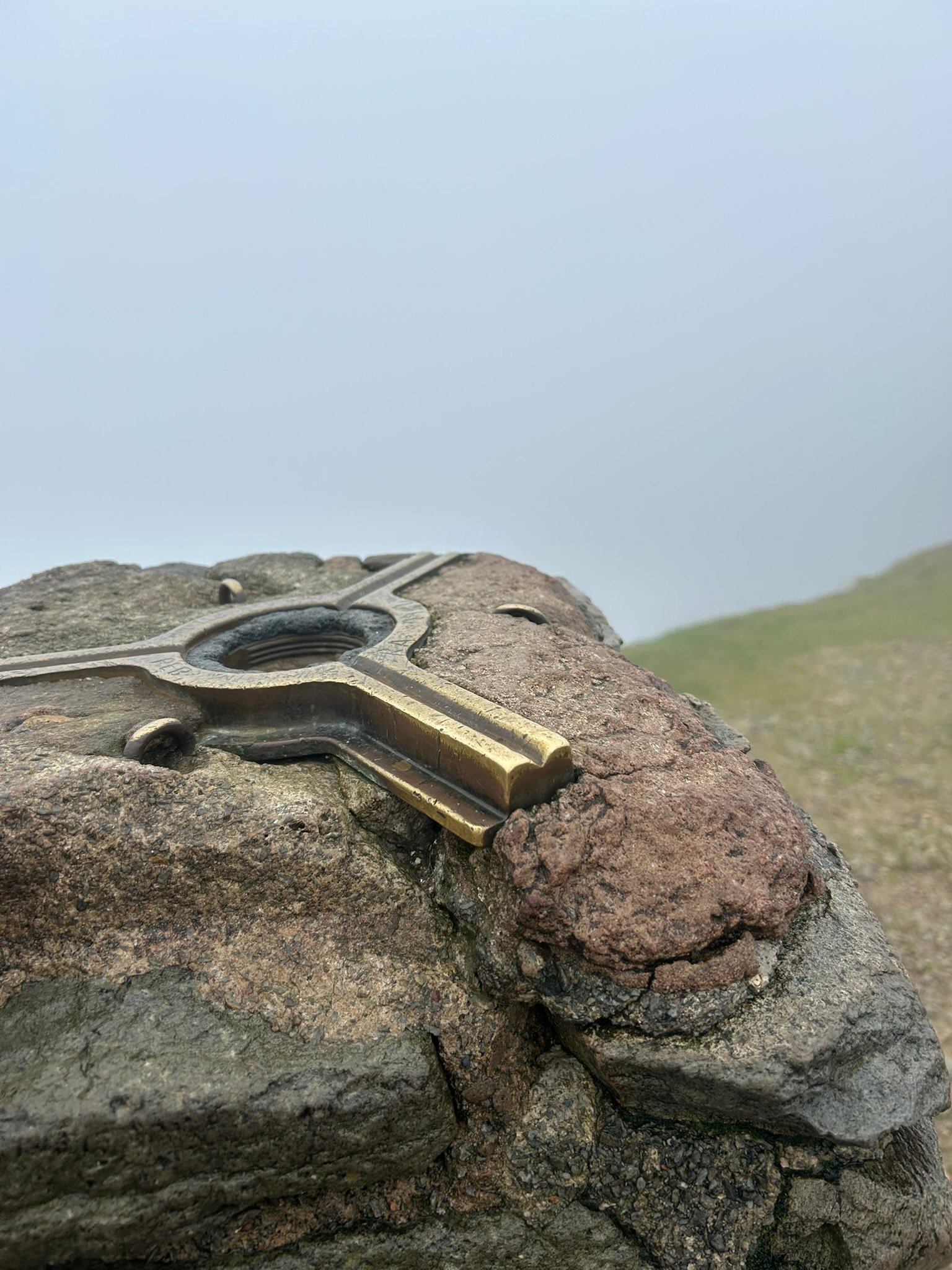
Trig, Trig, Trig
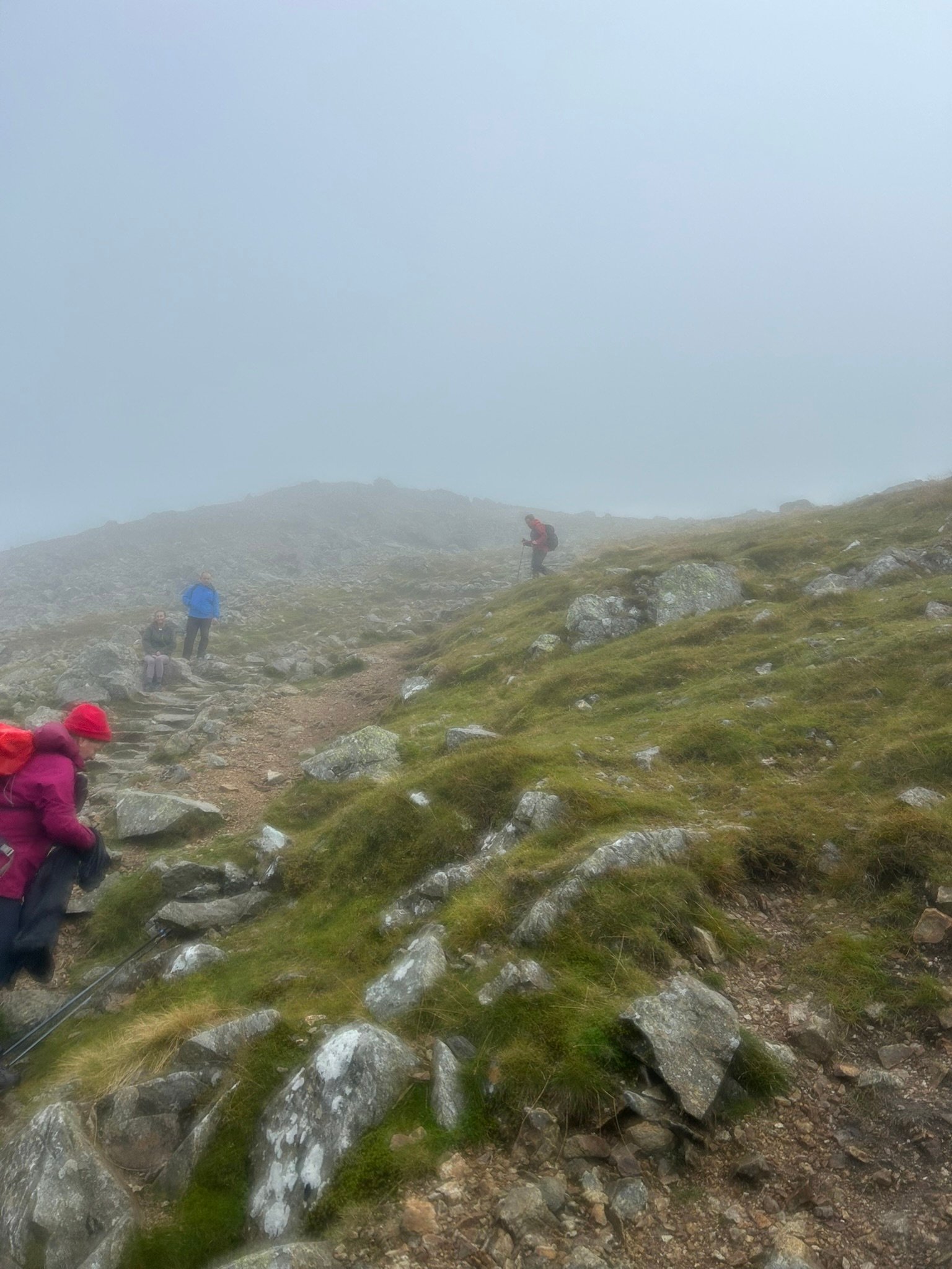
Heading Up
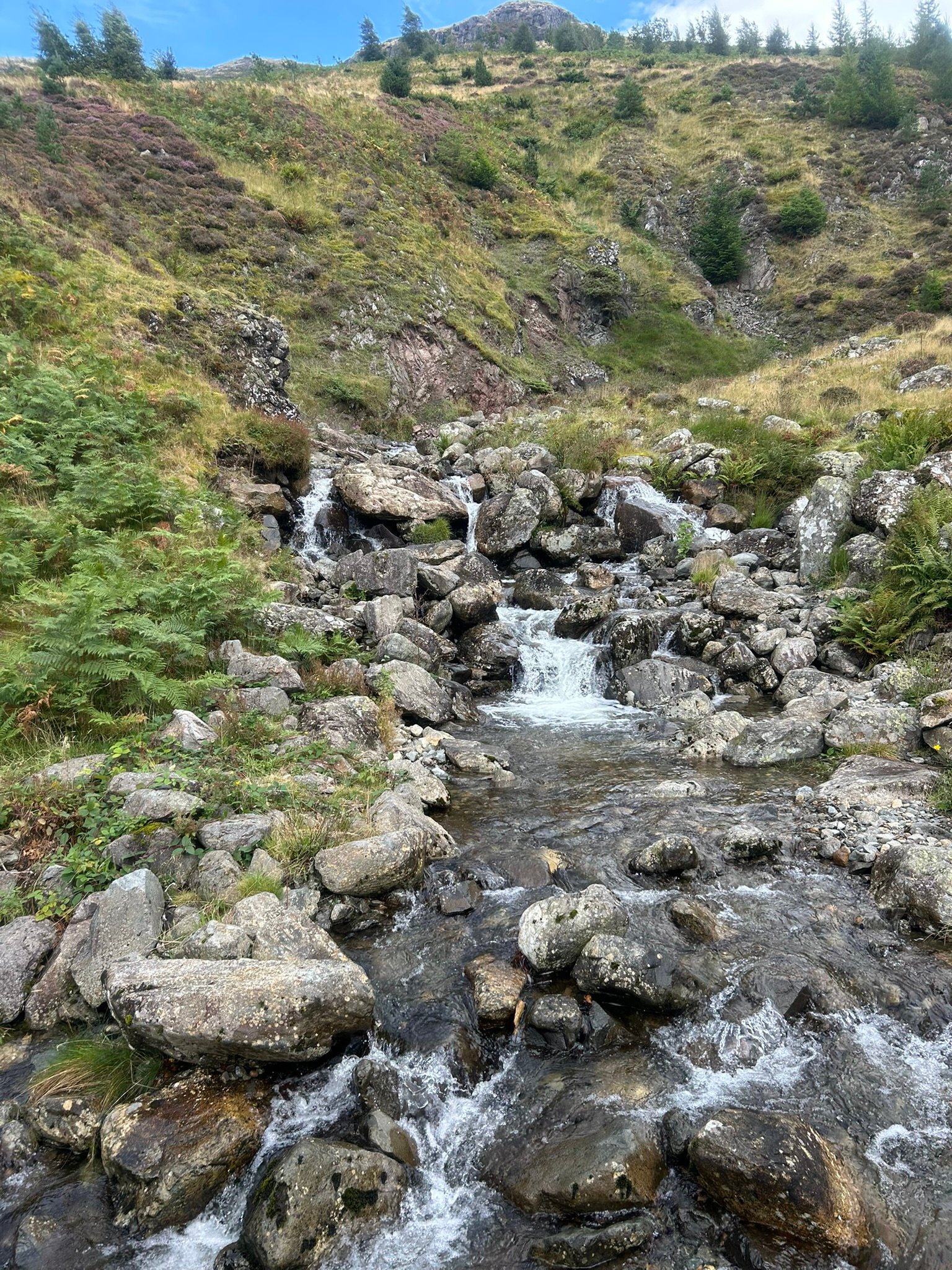
Nearly Back
3x3 Peaks Challenge – SCOTLAND
The Scotland leg of my 3×3 Peaks Challenge took in the three highest mountains in Scotland, and the whole of the UK: Ben Nevis, Ben Macdui and Braeriach.
Three mountains, three very different days. There was cloud, rain, strong wind, aching legs, sore knees and a few moments when I seriously questioned what we were doing. There was also sunshine, laughter, extraordinary scenery and an enormous sense of achievement.
Wednesday: The Journey North
The Scotland week began with an eight-hour drive north on Wednesday. Thankfully, it was a good journey and a beautiful day. Once we had passed Glasgow and travelled through the Trossachs and into the Highlands, the scenery became absolutely stunning.
It was a lovely start to a few days in Scotland, even though I knew the serious business would begin the next morning.
Thursday: Day 3: Ben Nevis 10th September
The weather at the foot of Ben Nevis was overcast and slightly damp, but it wasn’t really raining. The forecast looked fairly grim though, so we set off in our coats and waterproofs, just in case - something we probably didn’t need until much closer to the summit.
After the obligatory photograph on the bridge, we joined the trail and began climbing almost immediately. Much of the lower path is formed from stone steps. Most were easy enough to negotiate, although a few of the larger ones made me think ahead to how they might feel on the descent.
The first part went surprisingly well. I walked uphill for the first 45 minutes without stopping, which I was genuinely impressed with. My legs felt good, my knees weren’t causing any problems and I settled into a steady plod. As we climbed, the path began zigzagging up the mountainside. We passed a small loch and crossed a stream using stepping stones. I always love hearing running water on a walk; it makes me feel even closer to the landscape around me.
Not long after the stream, the terrain began to change. There was less grass, more exposed rock and a rougher, more natural path. The neat stone steps gradually gave way to rocks that needed to be climbed around, over and between. The wind also began to pick up, although it was nowhere near as fierce as it had been on Helvellyn.
After around 3 hours, tiredness began to creep in. We reached one short but extremely steep section just as people coming down were telling us we didn’t have far to go. Looking up at it was probably the hardest mental moment of the day. After that, the ground became increasingly craggy and bouldery and despite all the reassurances that the summit was close, it still took us about another half an hour to reach it.
The summit was completely covered in cloud. We tried looking down a couple of gullies, but visibility was very limited, so sadly there were no famous Ben Nevis views for us that day. Even so, reaching the summit cairn and trig point felt fantastic.
This was the mountain I particularly wanted to climb for my dad. Had to have the photo with my Alzheimer’s Society T-shirt of course, and tried to record a short video for him, but I struggled to get through it. I may include it in the reel, or I may decide that one is just for me.
Then it was time to retrace our steps. The upper section was still windy and craggy, and the stone steps somehow seemed much larger on the way down. By the final section my knees were hurting and it felt as though those steps would never end.
The weather had cleared considerably by the time we reached the bottom. We were wet, tired and very pleased to peel off our waterproofs - even though my coat zip had jammed at the bottom and I had to step out of it! That became my slightly ridiculous method of getting in and out of the jacket for the rest of the weekend.
Ben Nevis was tough, emotional and hugely rewarding, I really enjoyed the mountain, but maybe not enough to do it again 😁.
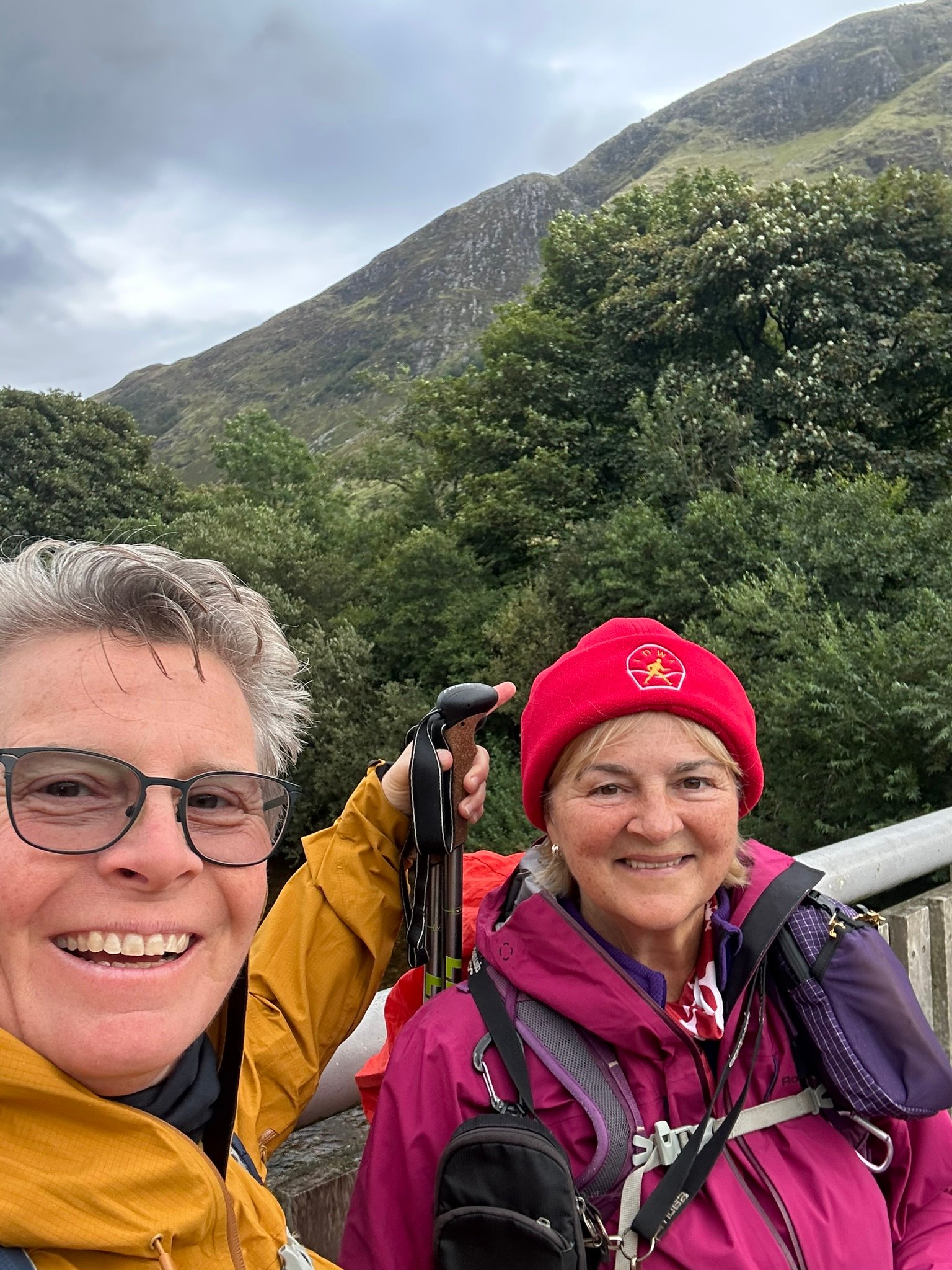
Off we go.
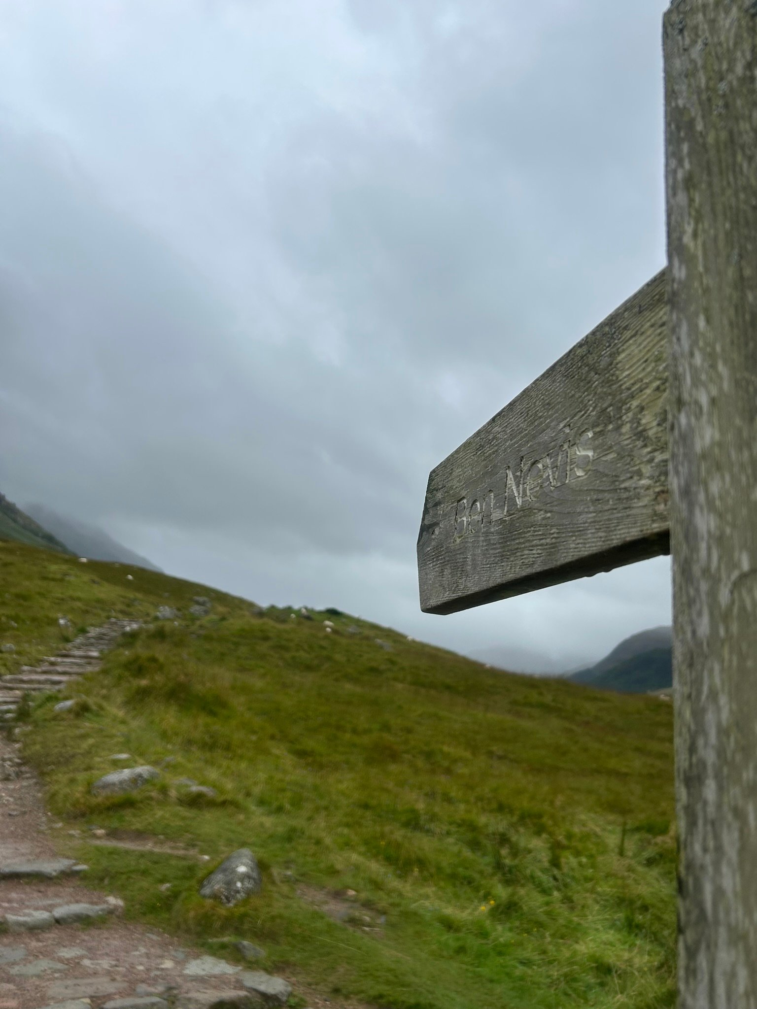
Ben Nevis this way!
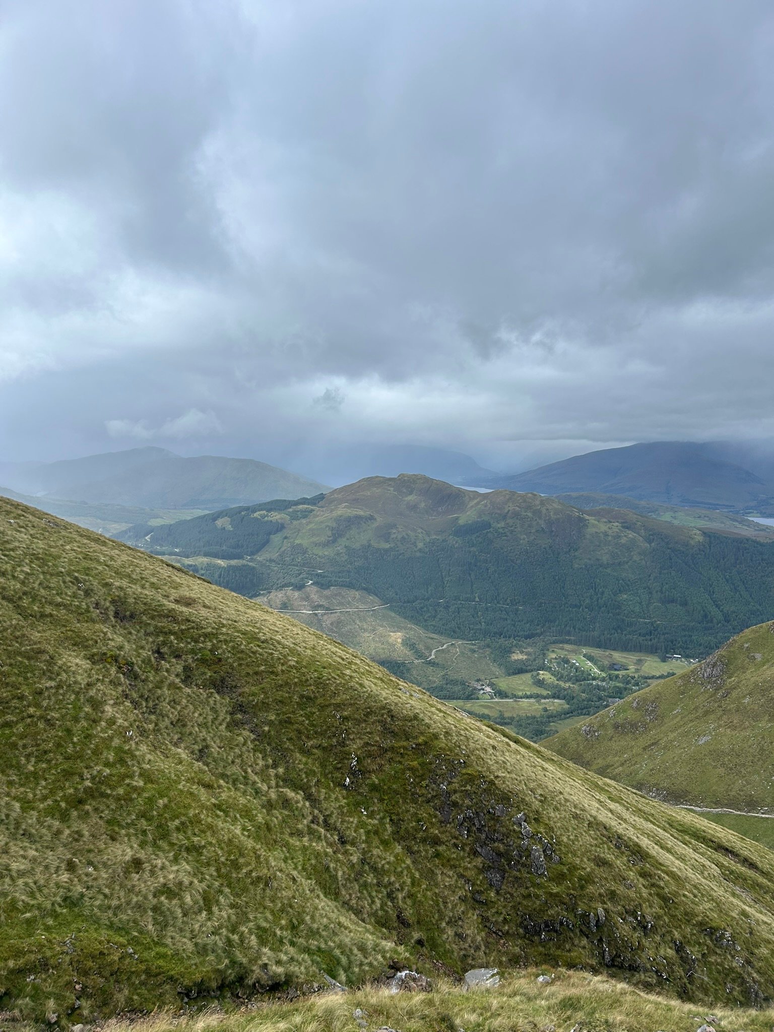
Looking Back
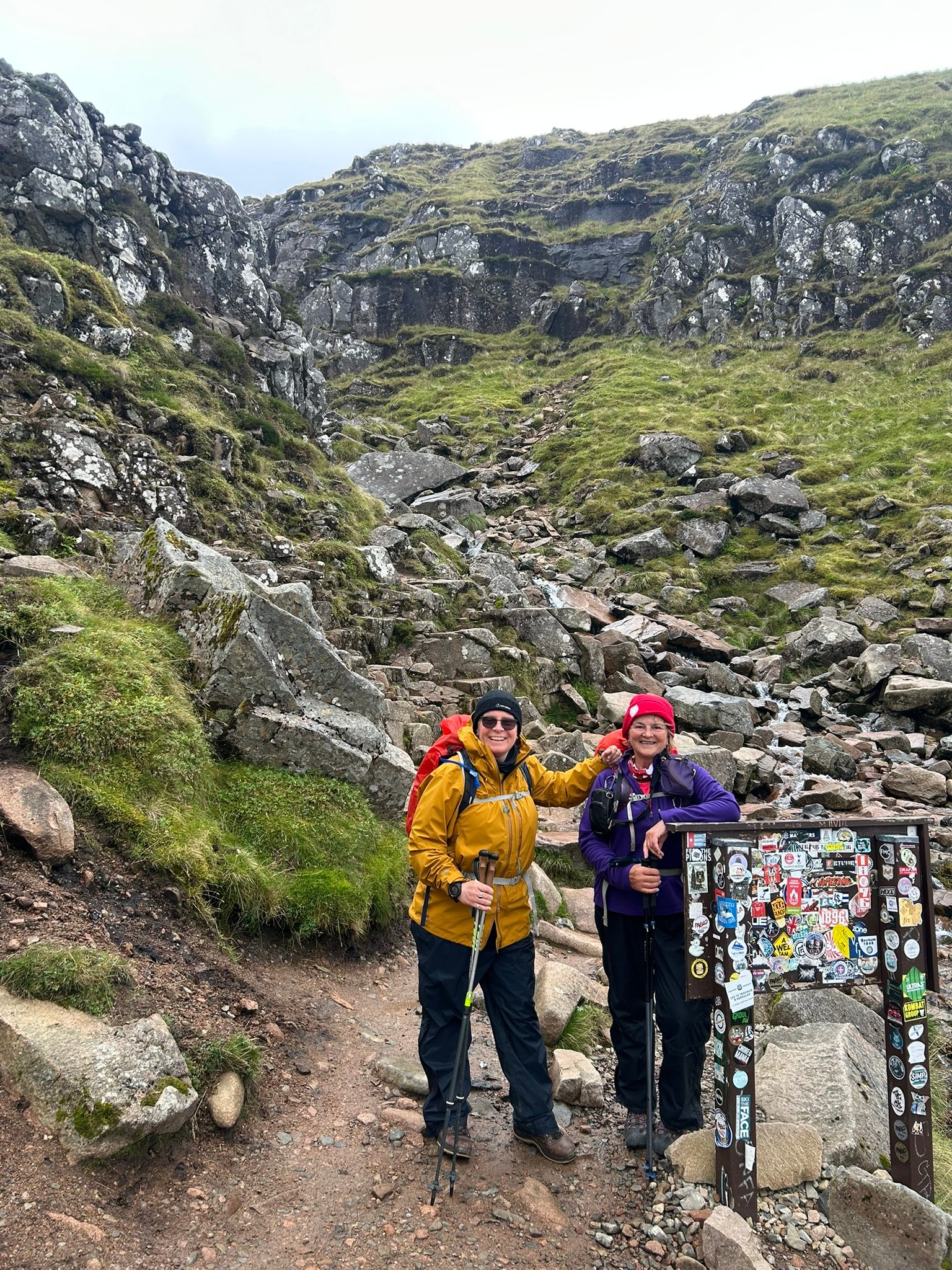
Crossing the Stream
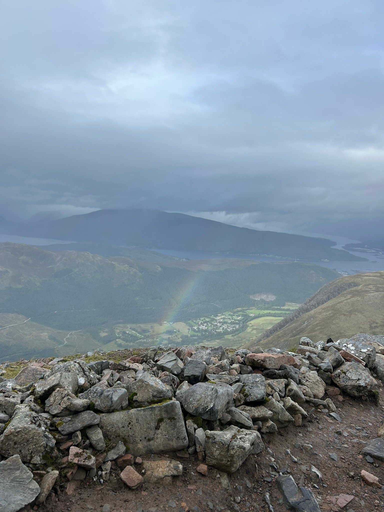
Rainbow
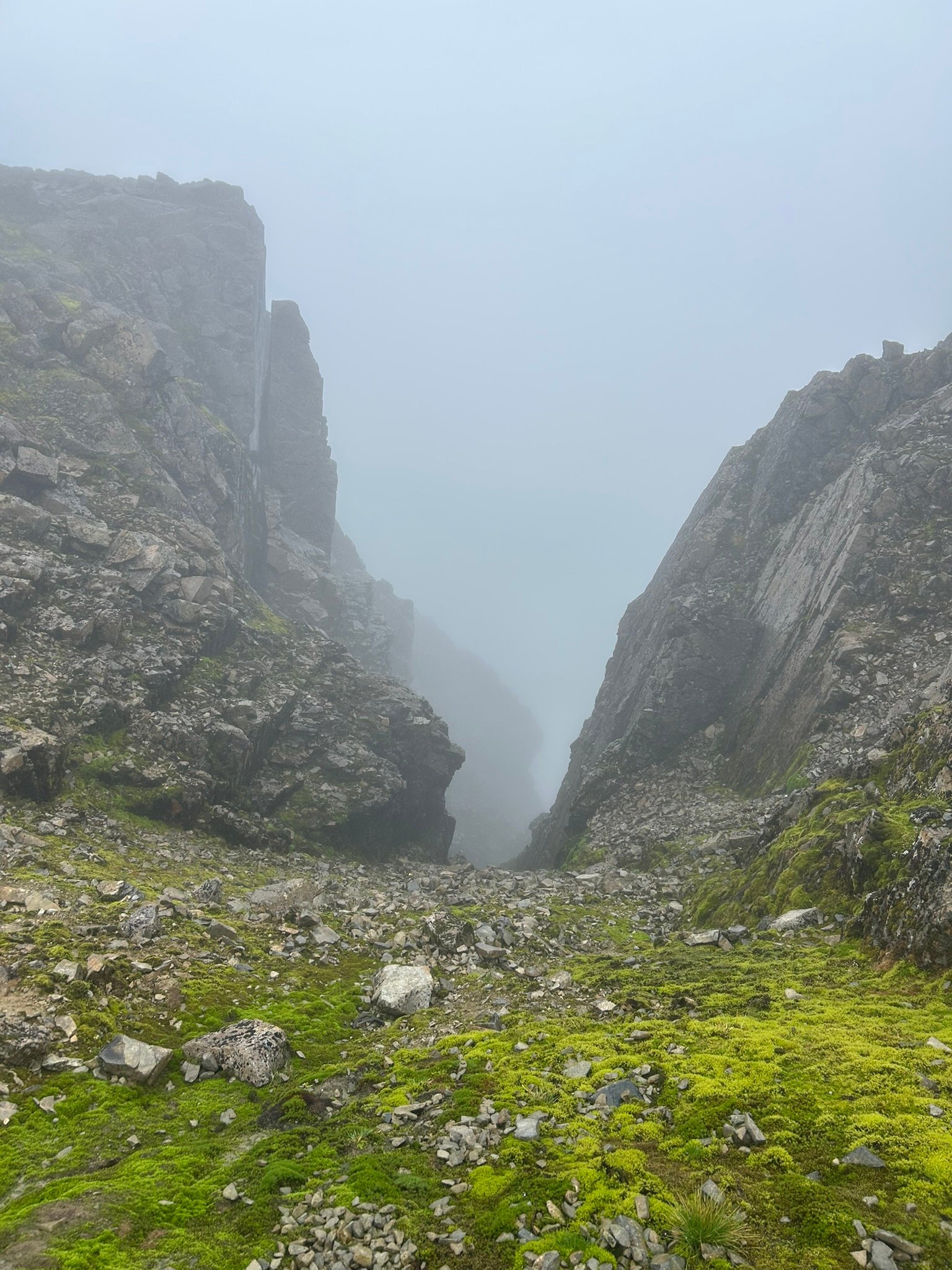
Ominious Gully
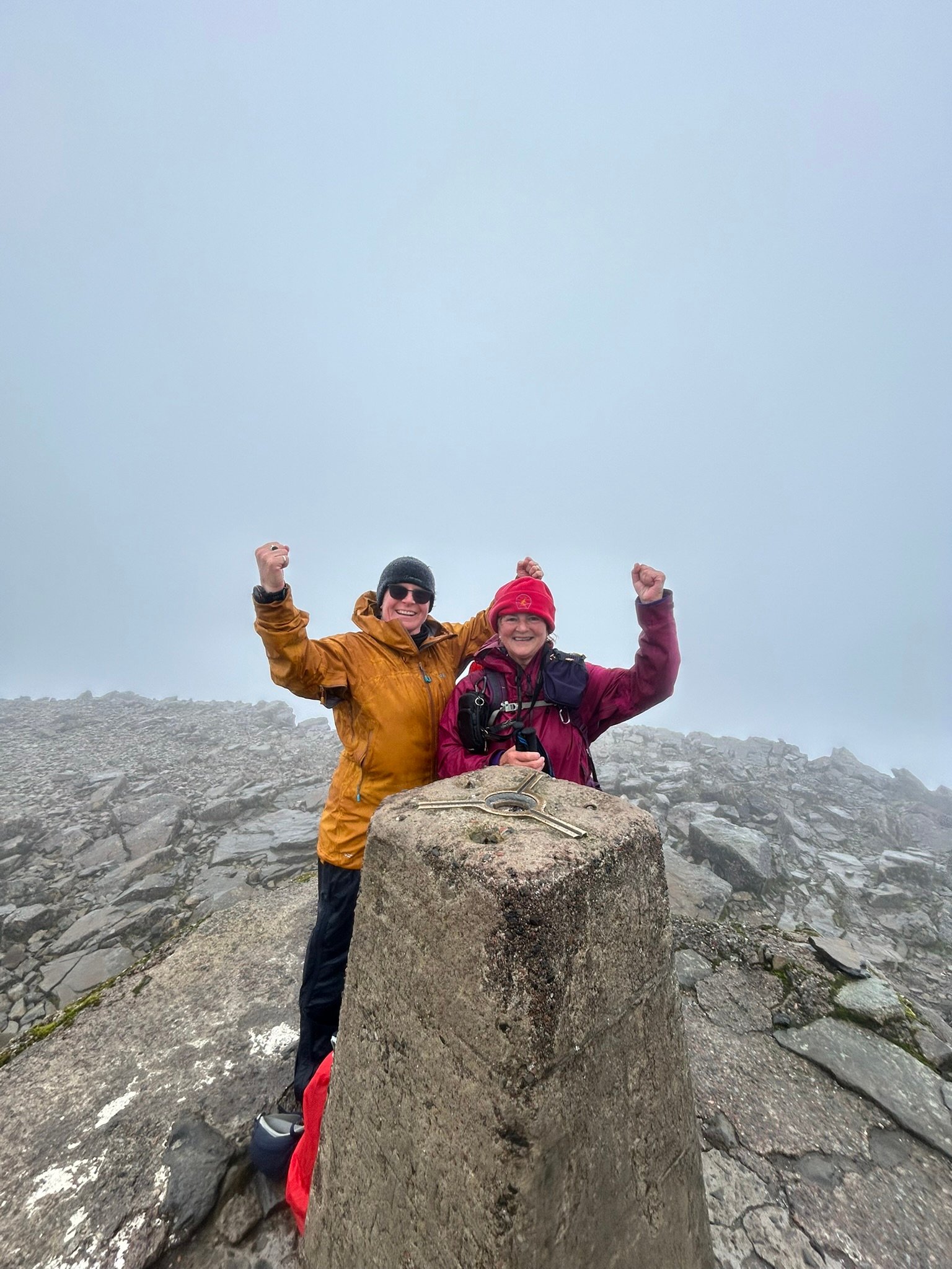
We made it.
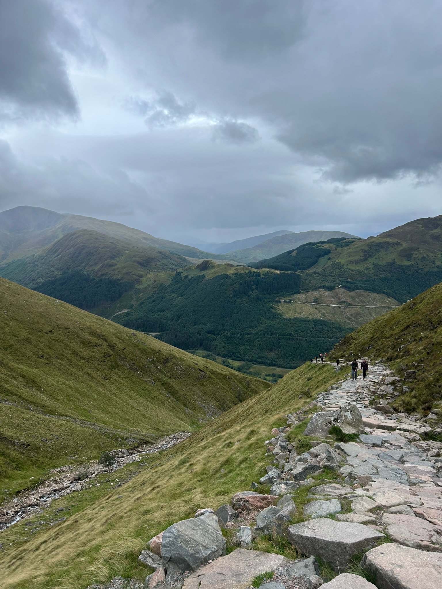
Heading Down
3x3 Peaks Challenge – SCOTLAND
Friday: Recovery and Across to the Cairngorms
Friday was our travel and recovery day. We had a slightly later start and took a steady pootle across to the Cairngorms.
Naturally, the weather was much better than it had been on Ben Nevis, why wouldn't it be, it would have been a perfect summit day. But it gave us a lovely, relaxed journey and some much-needed time to recover. We kept the day deliberately gentle while preparing ourselves and our kit for Braeriach the following morning.
Saturday: Day 4 Braeriach 12th September
The forecast for Braeriach was not encouraging. Winds of 60–80 mph were predicted around dawn, but forecast to ease gradually as the day went on. We knew we wouldn’t be at altitude that early, so we set off from Whitewell under overcast skies.
Our chosen route took us through forest and low-level ground for almost five miles before the serious ascent began. It was a slightly longer than through the Chalamain Gap, but it avoided this notoriously awkward boulder gorge. We hoped that banking some faster, easier miles at the beginning and end would be the better option in the long run.
As we left the forest, the path followed a stream through the valley and we could see the mountain looming ahead. Under the dark, heavy sky it looked enormous and rather ominous. Braeriach is much more remote than Ben Nevis, and we had seen virtually nobody else.
Before we could begin climbing properly, we had to cross the stream. There were no convenient stepping stones, just fast-moving water, a few rocks and some grassy mounds. Jayne made her way across fairly easily, but I ended up stranded with my feet stretched between two stones and my poles planted even wider in the water. I stayed there for what felt like ages, trying to work out where my next foot could possibly go while Jayne found the whole situation highly entertaining and took photographs. Eventually, after shuffling my feet into a better position, I made a leap of faith onto the higher bank, thankfully without the potential dunking (sorry to disappoint).
The climb immediately above the stream was very steep, peaty & slippy, followed quickly by another steep section with stone steps. The rain began arriving in squalls, the wind was gradually increasing and, after initially trying to ignore it, I gave in and put my jacket on. We stopped for a mini snack and long enough to see a beautiful rainbow across the valley. The views below us were still spectacular, but the clag above made it clear that visibility would soon disappear.
The higher we climbed, the stronger the wind became. The route was fairly broad, with a sharp drop to our left that we made sure to keep well away from. We estimated that the gusts eventually reached around 50–55 mph. At one point Jayne said we could be in a bit of trouble, unnerving coming from the more experienced walker of the two of us.
We kept reassessing the conditions as we continued. The wind didn’t worsen, but it remained extremely strong. Each gust meant bracing our legs and poles and keeping our heads down. With hindsight, we were probably right on the cusp of what was sensible. If the wind had increased at all, turning around would have been the only safe decision.
Visibility fell to around 50 metres near the top. The terrain became increasingly rocky and we crossed several boulder fields. Jayne doesn’t enjoy those at all, whereas I quite like hopping from rock to rock - possibly because I’ve never fallen down one!
Progress through the wind was painfully slow. We descended into a col, climbed again and repeatedly checked the map, convinced that we must be nearly there, only to discover that we had barely moved forward. It became a case of keeping our heads down, bracing for each gust and putting one foot in front of the other.
Eventually we reached what looked like the summit, only for the map to tell us that it wasn’t it either. A little farther through the clag, another small rise began to appear. At the top of it was the tiniest cairn imaginable. We had walked around nine miles, through wind that felt as though it was trying to blow us off the mountain, to reach a tiny pile of stones in the mist, and we couldn’t see a thing. We were exhausted, but that was just half of it... we still had to walk back.
The mapped return route across the summit was very indistinct, so we decided to retrace our steps on the clearer path. We could verify it on the map and, apart from short sections across the boulder fields, it remained visible. Even so, we checked our position constantly to make sure we stayed on the correct line, we needed to keep clear of that edge.
After climbing back out of the col, the route became a long and sometimes steep descent. Approaching the stream, we accidentally followed a slightly different line from the one we had climbed. It was extremely steep and covered in loose gravel. There was almost zero control of my feet, slipping a lot, bracing with my poles, minimising the potential fall which to be honest felt inevitable. That was the scariest part of the day for me; I was convinced I was going to end up on my backside, in a heap at the bottom, or in the water.
The stream crossing was easier on the return. By then we had been walking for around eight to eight-and-a-half hours and had reached the stage where wet feet would simply have been accepted. We just wanted to get back to the car.
Once alongside the stream and onto lower ground, we managed to pick up the pace. Then came the forest: beautiful, atmospheric and seemingly endless. Some of the paths were barely wide enough to walk along in single file, and it felt like being in Middle-earth. I half expected Bilbo Baggins to appear on his own great adventure.
When the path finally widened, we walked as quickly as our exhausted bodies would allow. We wanted the car, the hotel and a beer!
We finished after around ten-and-a-half hours. Braeriach was the hardest day of the entire challenge so far. Scafell Pike and Scafell had been more technically difficult in places, but Braeriach was more mentally draining because of the wind, limited visibility, isolation, navigation and sheer length of the day.
The conditions and our decision to continue have played on my mind since. We got down safely, but I know we were near the limit and that a relatively small deterioration in the weather could have made things a whole lot worse. It was an enormous achievement, but also a day I have learned a lot from.
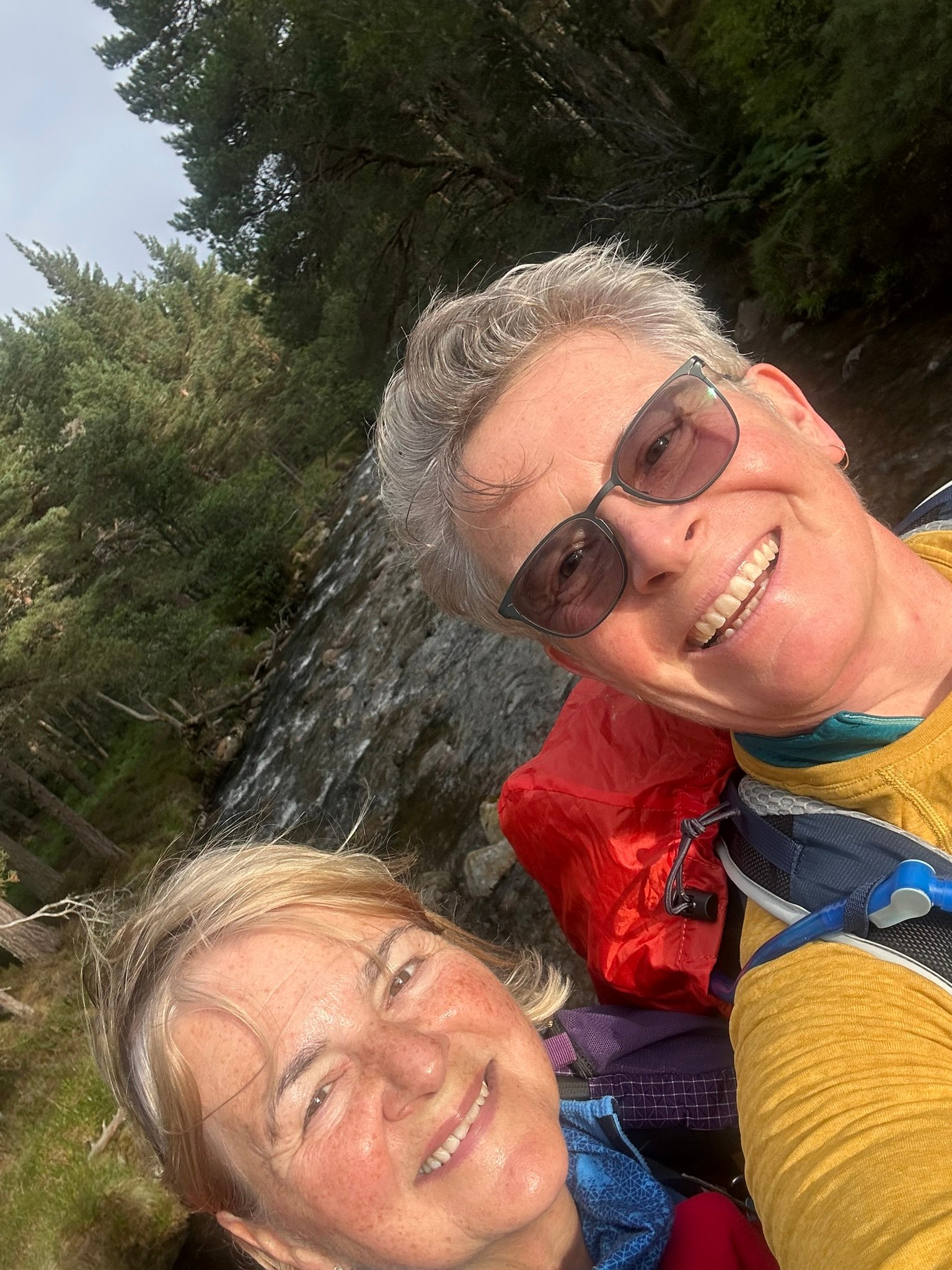
Smiley Beginning
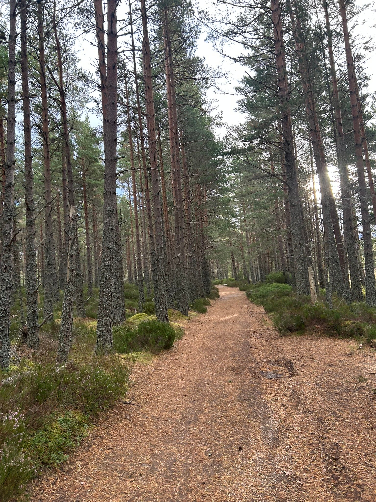
Gentle Forest
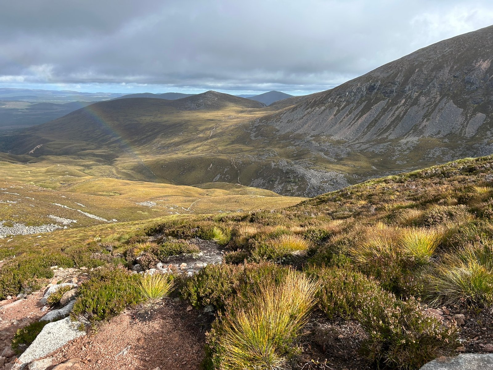
Another Rainbow
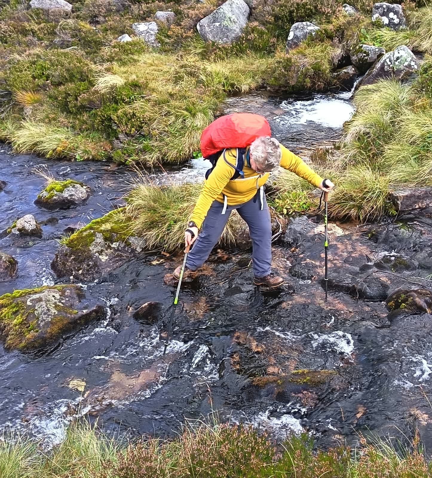
Where to Step
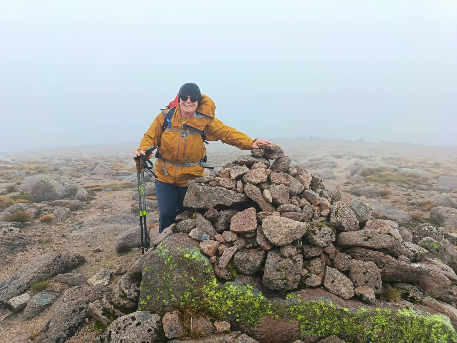
Cairn at the Summit
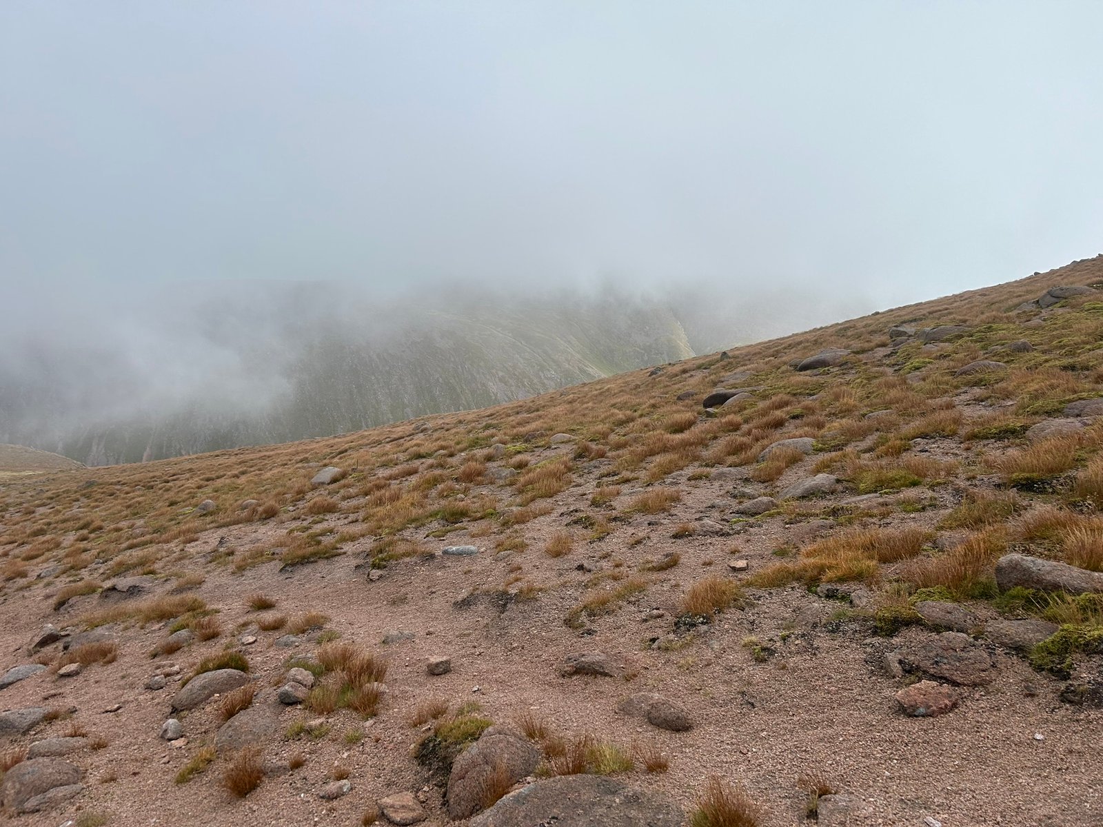
Coming out of the Clag
Post Summit Celebration
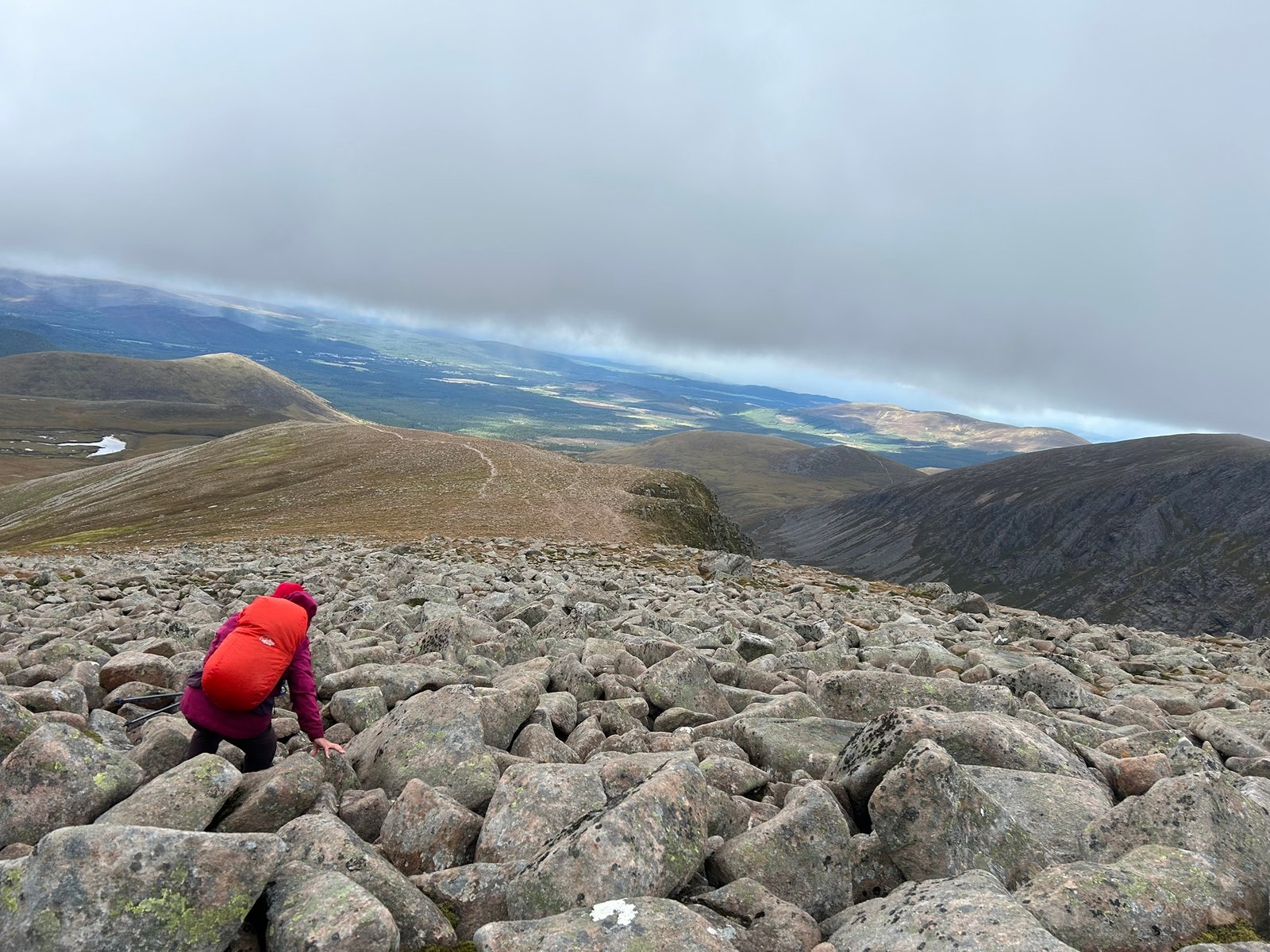
Boulders! Janye’s Nemesis
3x3 Peaks Challenge – SCOTLAND
Sunday: Day 5 Ben Macdui 13th September
The conditions for Ben Macdui could hardly have been more different from the day before. We left the Cairngorm ski centre under blue skies, with light winds and just a slight chill in the air. The sun continued shining all day.
The first couple of miles were fairly level or gently inclined. We crossed a stream filled with beautiful, enormous, easy to navigate boulders and followed a good track gradually upwards. There were plenty of other walkers around too, which felt like a completely different world from the isolation of Braeriach.
My legs, however, were deeply unimpressed.
Once we reached the steeper slopes and stone steps, they simply did not want to cooperate. The first hour and a half was very slow, and I had to fight for every bit of progress. My legs were still carrying Braeriach from the day before, as well as Ben Nevis only a few days earlier. It became another mental exercise: one foot in front of the other, keep going, it will level out eventually.
And it did. After the first sustained climb, the route eased into a wonderful section that curved around the mountains rather than heading directly over them. There were gentler inclines, fairly level stretches and even a little descent. That gave my legs the chance to loosen up and start working again.
The views were spectacular. A beautiful valley opened to our right, with a huge mountain rising on its far side. I kept wondering what mountain it was, but another steep ascent demanded my attention before I could properly investigate. This climb looked daunting, but by then my legs had recovered enough to tackle it. I zigzagged my way steadily upwards and began to feel much more like myself.
Cairns marked the route across the higher ground - something we could certainly have used the previous day. We crossed a couple of smaller, more worn boulder fields, great fun again. Several times I thought I could see the summit, only for the path to reveal another rise beyond it. Eventually we dipped between the mountains and there it was: the final ascent, with the Trig Point visible above us.
It was around here that I finally realised the enormous mountain across the valley was Braeriach. For the first time we could see and realise the full scale of what we had walked the day before, and it looked absolutely monstrous. Seeing it in clear weather brought an extraordinary sense of achievement: we had actually been all the way up there!
We continued across the increasingly rocky ground and finally reached the summit of Ben Macdui, the second-highest mountain in the UK. This time there was no need to take a hurried photograph and escape the weather. We could relax, take in the views and enjoy being there.
We had a good wander around the flat summit, and I had enough signal to FaceTimesome of my family. Being able to talk to them from the top of the UK’s second-highest mountain was a really special moment and great fun. Spirits were high.
We briefly considered returning via Cairn Gorm, & therefore bagging an extra Munro, but one look at the steep descent back towards the ski centre made the decision for me. I knew my knees had already done more than enough, let's not make it even harder.
We took the descent slowly, soaking up the views and chatting to other walkers as they passed. As expected my knees were very sore, particularly on the larger steps, I just slowed down even more, no worries, no hurries.
By the time we reached the ski centre, My legs felt physically broken, but, unlike the previous day, not I wasn't as mentally drained. We sat in the sunshine for a while to recover & have a well-earned ice cream. Then there was only one thing left to do: head back to the hotel for a pint.
Scotland was complete: the three highest mountains in the UK climbed, six peaks finished and three still to come in Wales.
Scotland complete.
Across the three walking days we'd clocked up:
38.81 miles (62.5 km)
3,805 metres (12,484 ft) of ascent
Just over 24 hours on the mountains
The three highest mountains in Scotland – and the UK
Braeriach had been the hardest and most mentally challenging day of the entire challenge so far. The following morning, my legs really didn’t want to play, but a few hours later I was standing on Ben Macdui in glorious sunshine, looking across at the enormous mountain we'd battled the day before.
I'd completed the Scotland stage – something that once felt almost impossible – and had just one weekend left to go.
Ben Nevis – 1,345m ✓
Braeriach – 1,296m ✓
Ben Macdui – 1,309m ✓
6 peaks down. 3 to go.
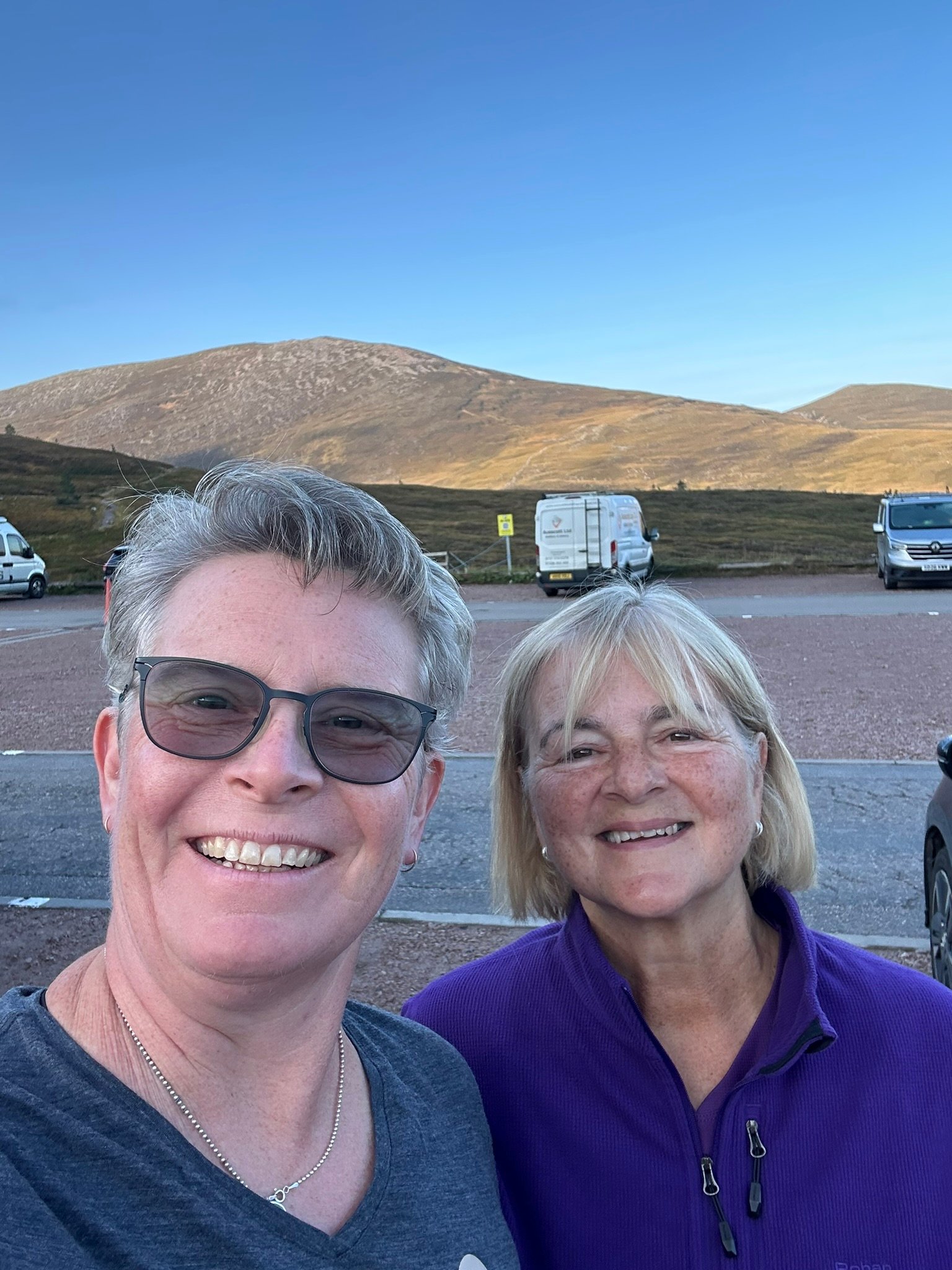
About to Set Off
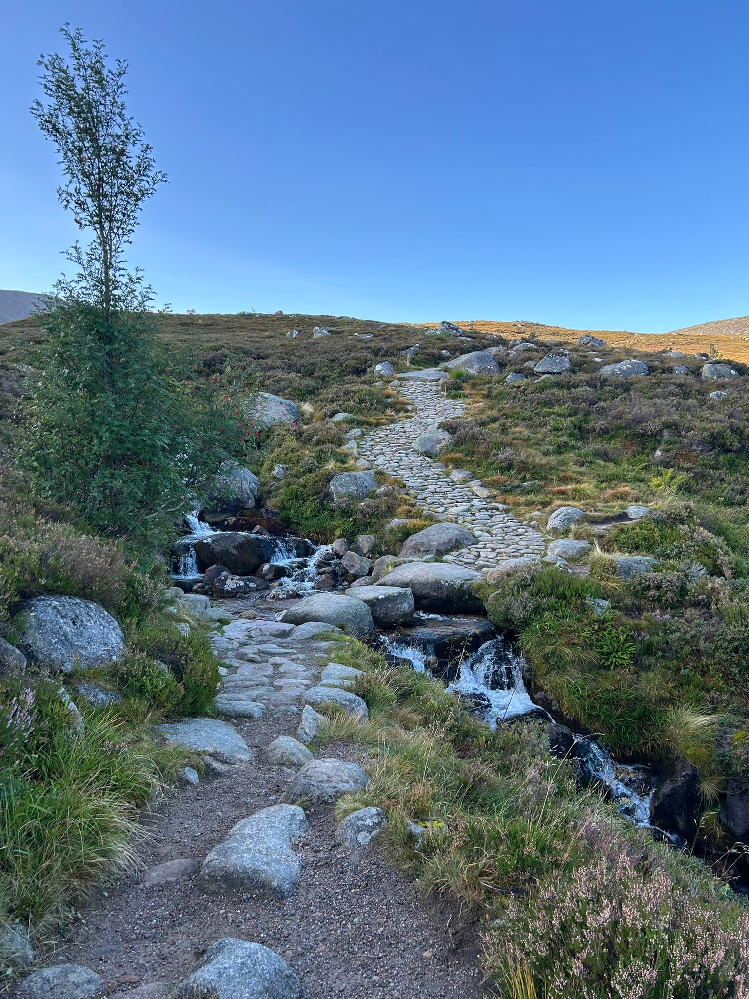
Look at those Boulder Steps!
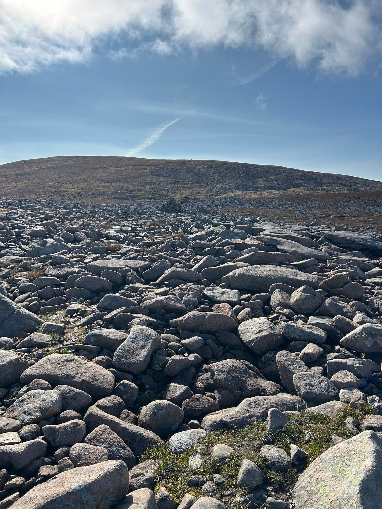
Boulders & Blue Skies
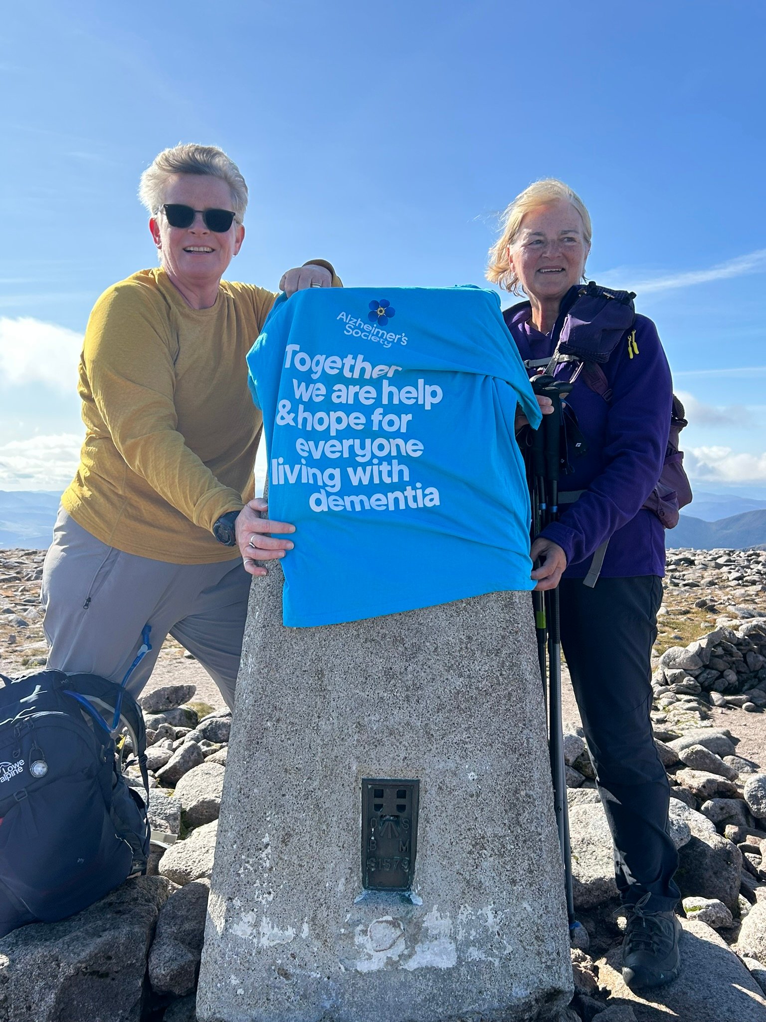
Relieved at the Summit
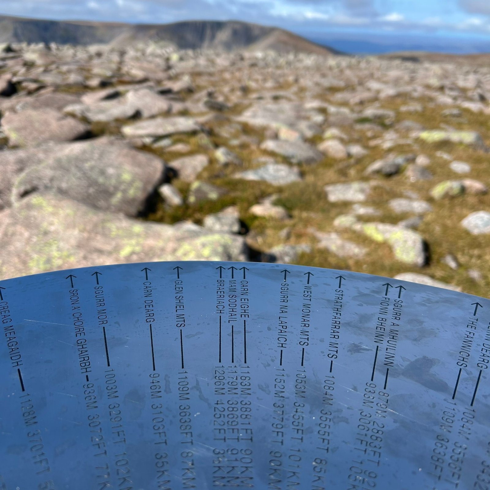
Towards Braeriach
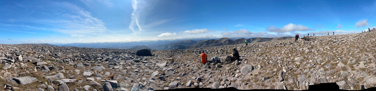
Panorama
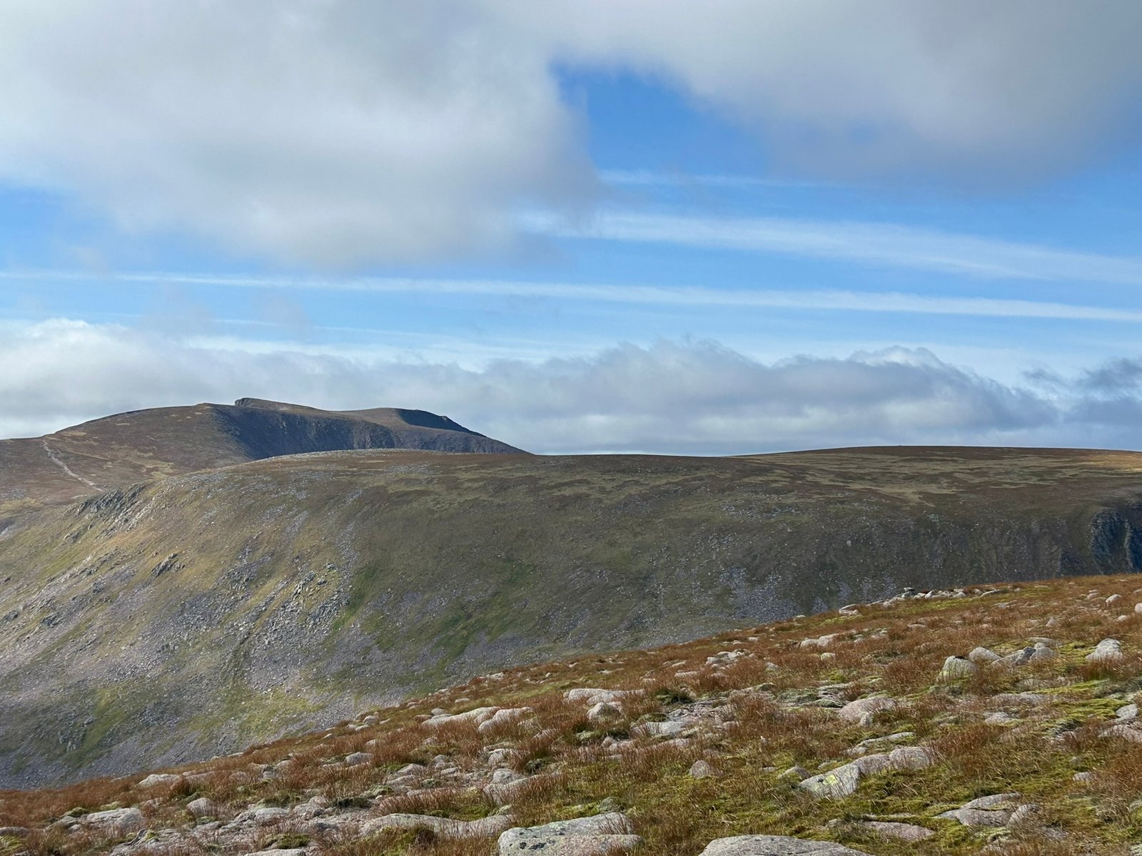
The Massive Braeriach
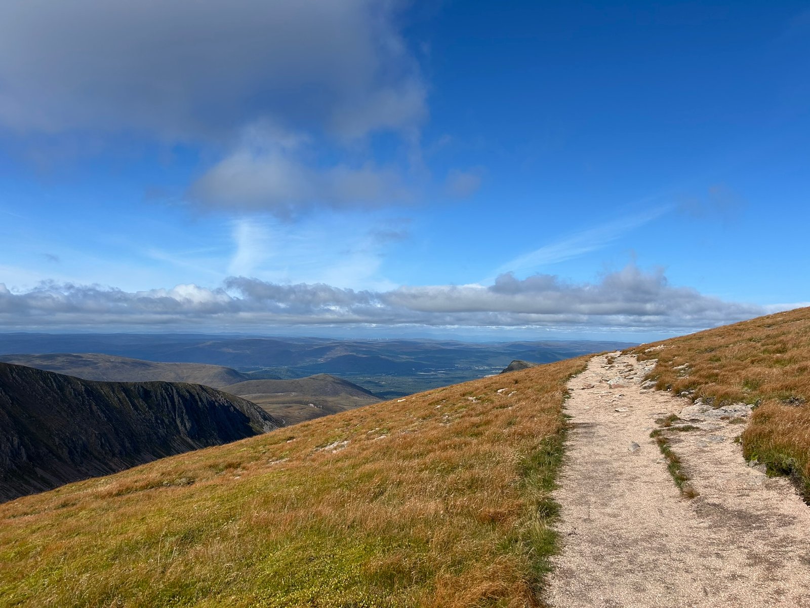
The Route Down
What's next? ... Carnedd Llewelyn rematch TBC.
3x3 Peaks Challenge – WALES
Saturday: Day 6 Yr Widdfa (Snowdon) & Garnedd Ugain 26th September
Two more peaks to tick off and the start of our final weekend in Wales!
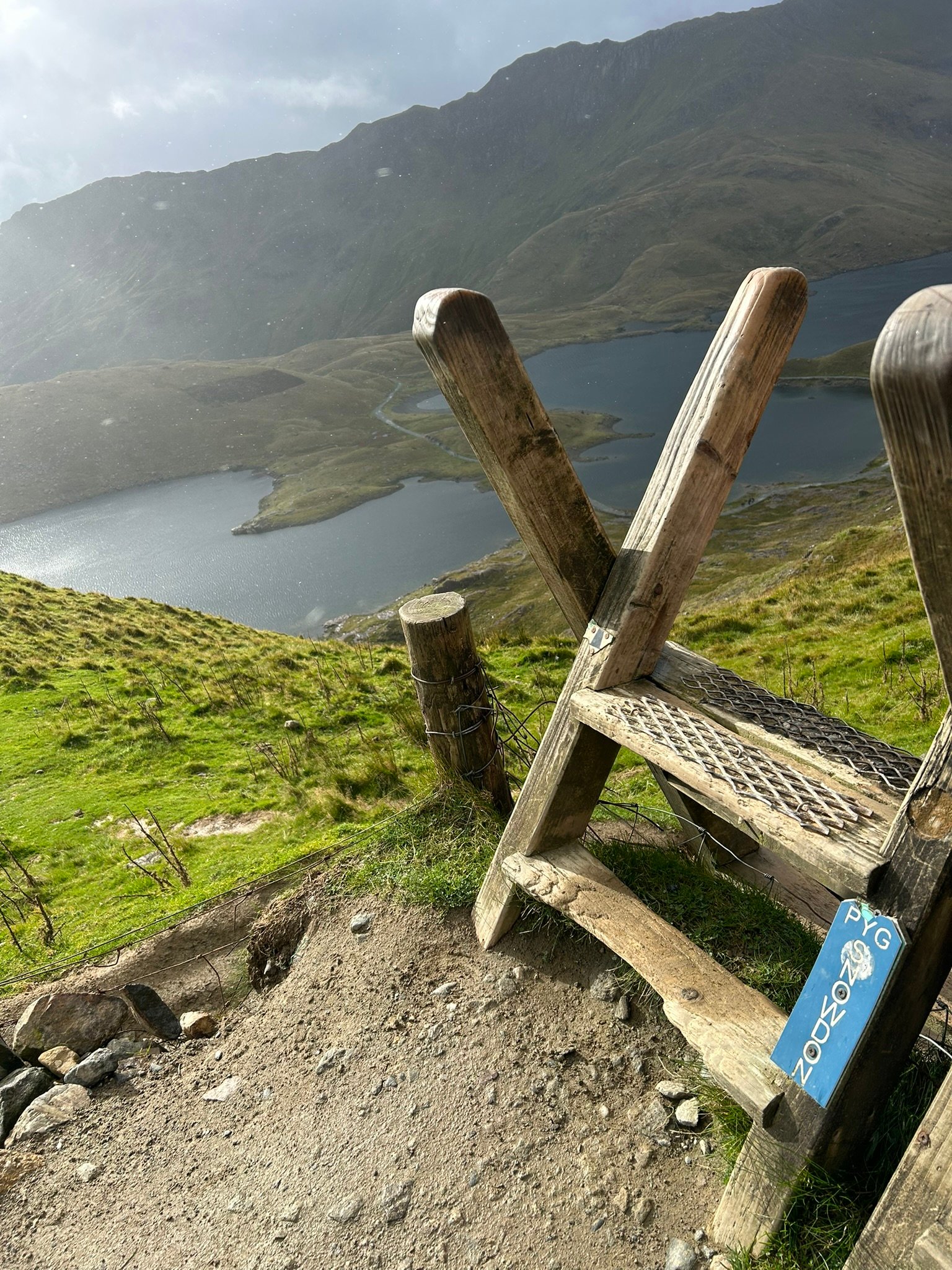
We started from Pen-Y-Pass to set off up the Pyg Track in sunshine - along with what felt like half the population of Wales! It was incredibly busy, with coachloads arriving and a steady stream of walkers heading upwards.
The Pyg Track gets going pretty quickly, with some huge rocky steps, and with me fighting off a cold I definitely felt slower than usual and needed a few extra stops to get my breathing back.
We had a brief shower with a lovely rainbow, watched tiny figures making their way across the terrifying-looking Crib Goch, and I even taught a couple of American ladies the very useful British word “nutter”.
Higher up we disappeared into the cloud and eventually heard the Snowdon Mountain Railway somewhere in the mist, a good sign that the summit was getting close.
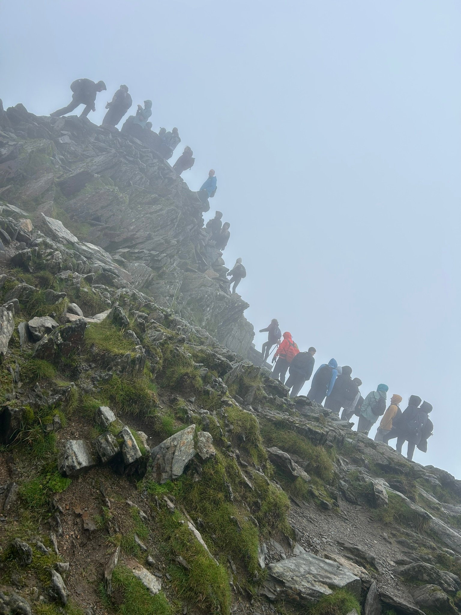
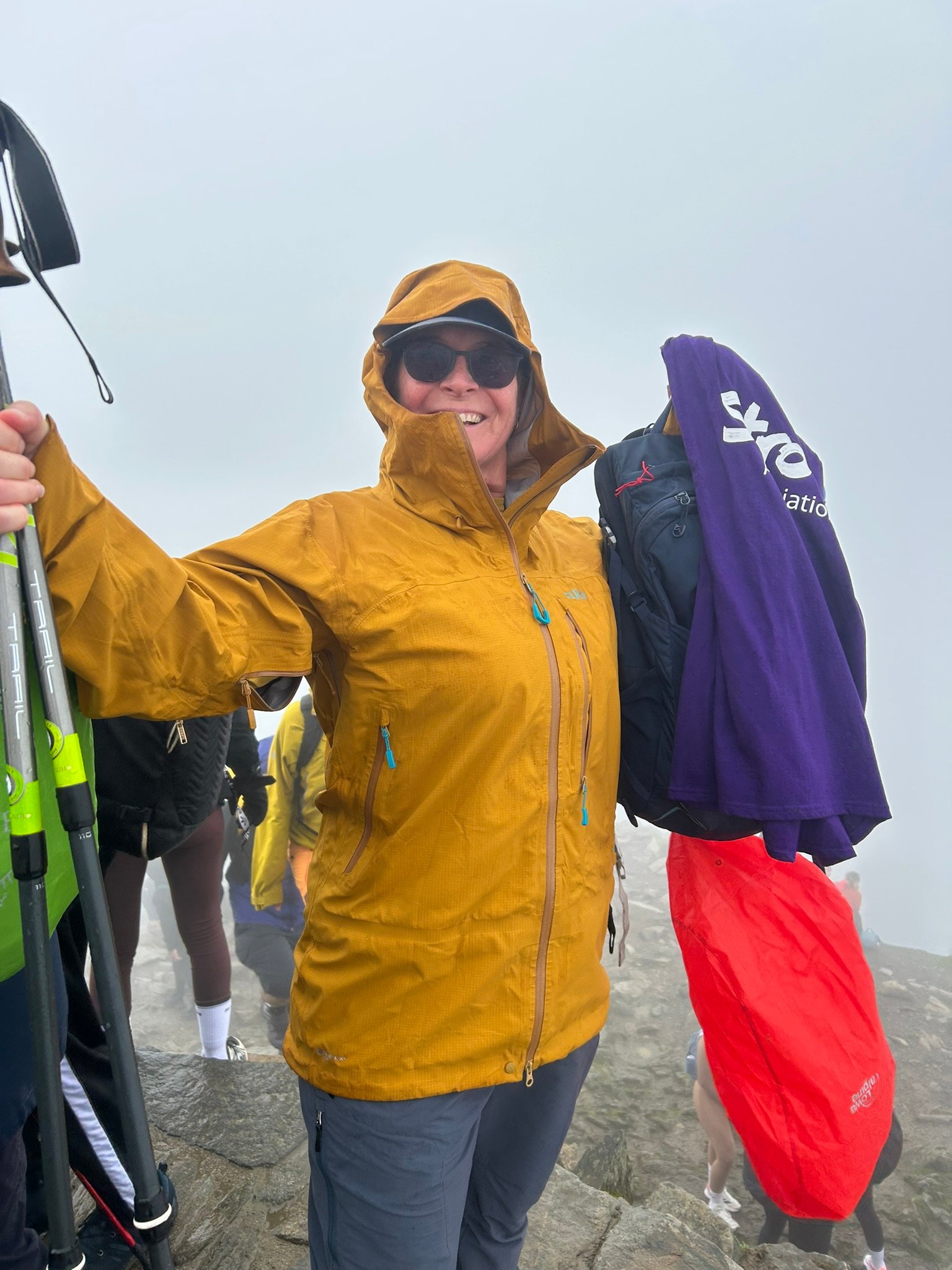
Yr Wyddfa itself was absolute chaos! A queue of people going up, another coming down and about a 20-minute wait just to reach the trig point. But we got there & got the photo to prove it. Peak number 7 done!
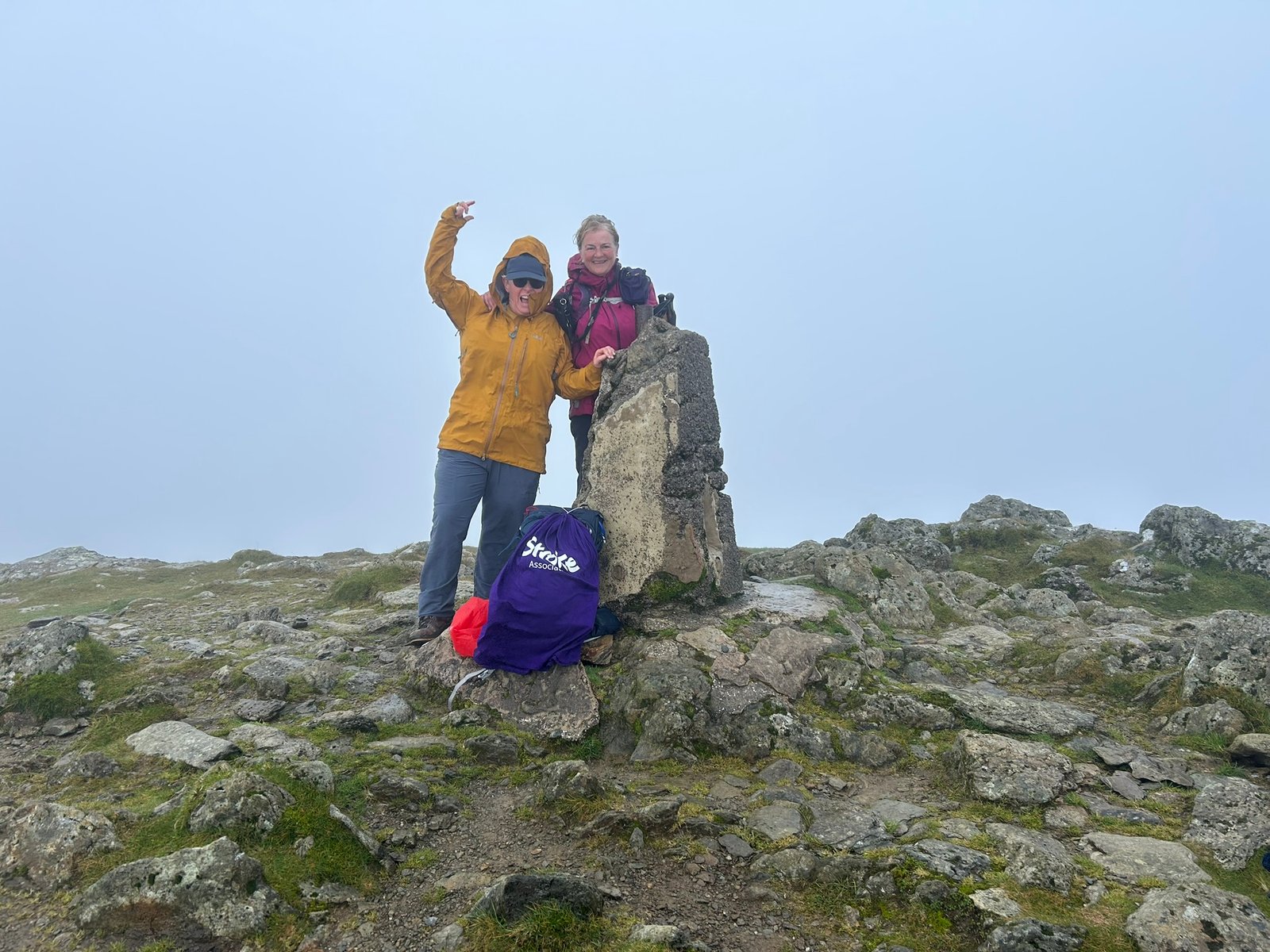
Garnedd Ugain was just a short hike away, Once we passed the top of the Pyg Track we left most of the crowds behind and carried on through the cloud to the second summit. What a difference, quiet, peaceful and only a handful of people around. Peak number 8 done!
We retraced our steps before dropping downthe Pyg Track before splitting off onto the Miners’ Track. My knees weren't particularly impressed with the steep first section, but eventually we emerged from the cloud with Glaslyn below us.
We found a sheltered spot beside the lake to stop & refuel, a much appreciated Cornish pasty, before setting off on the longer than expected but much gentler walk back past the old mine buildings and reservoir.
Eight peaks down. One to go.
Tomorrow: Carnedd Llewelyn.
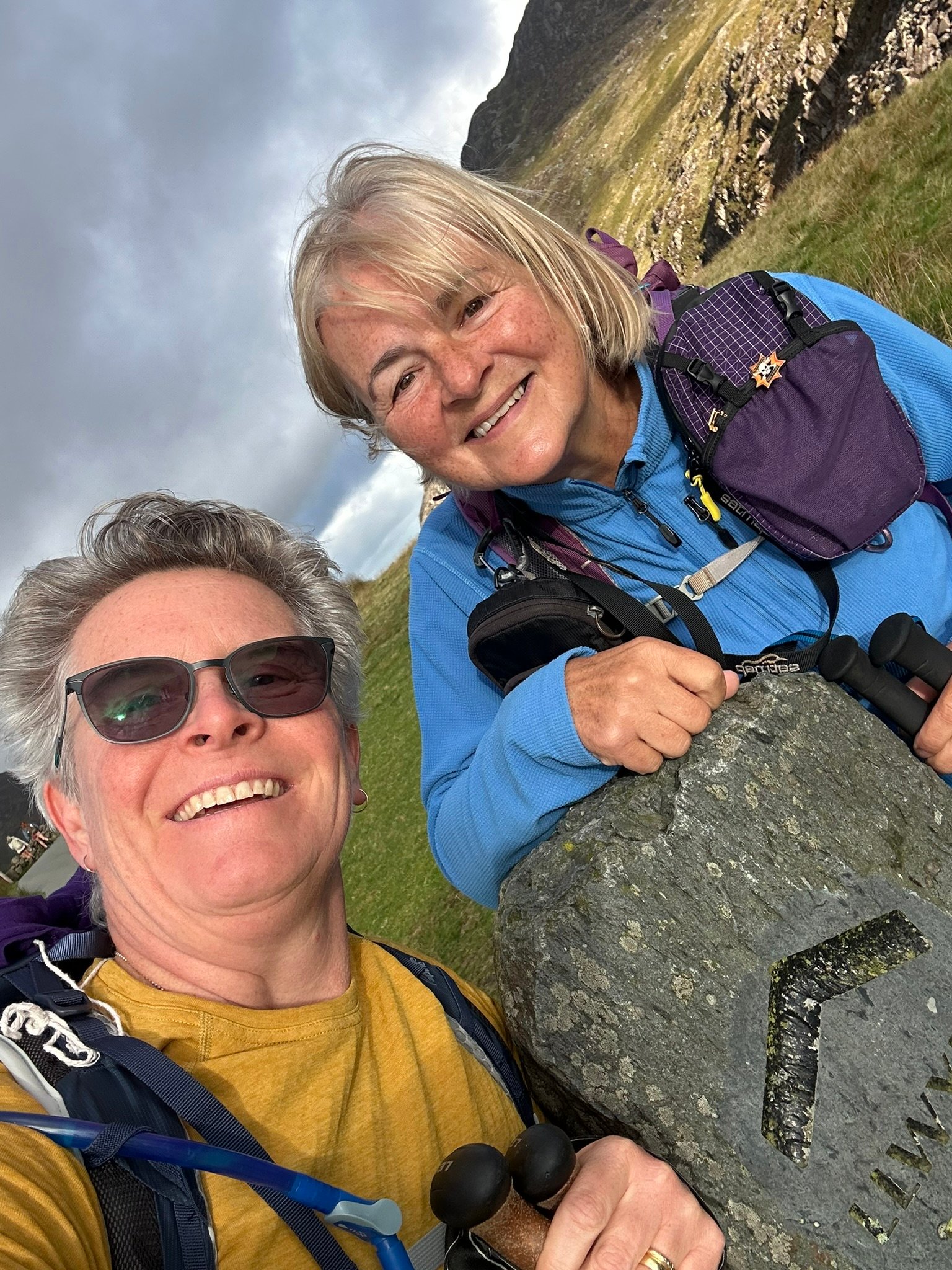
IMG_9521
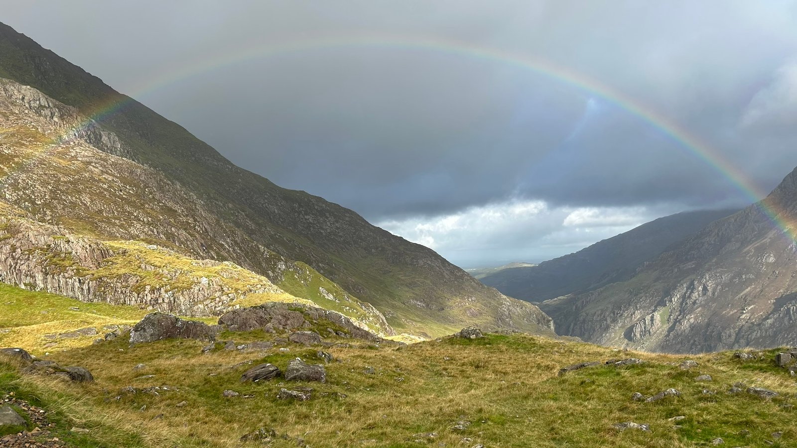
IMG_9527
IMG_9528
IMG_9541
IMG_9544
IMG_9547
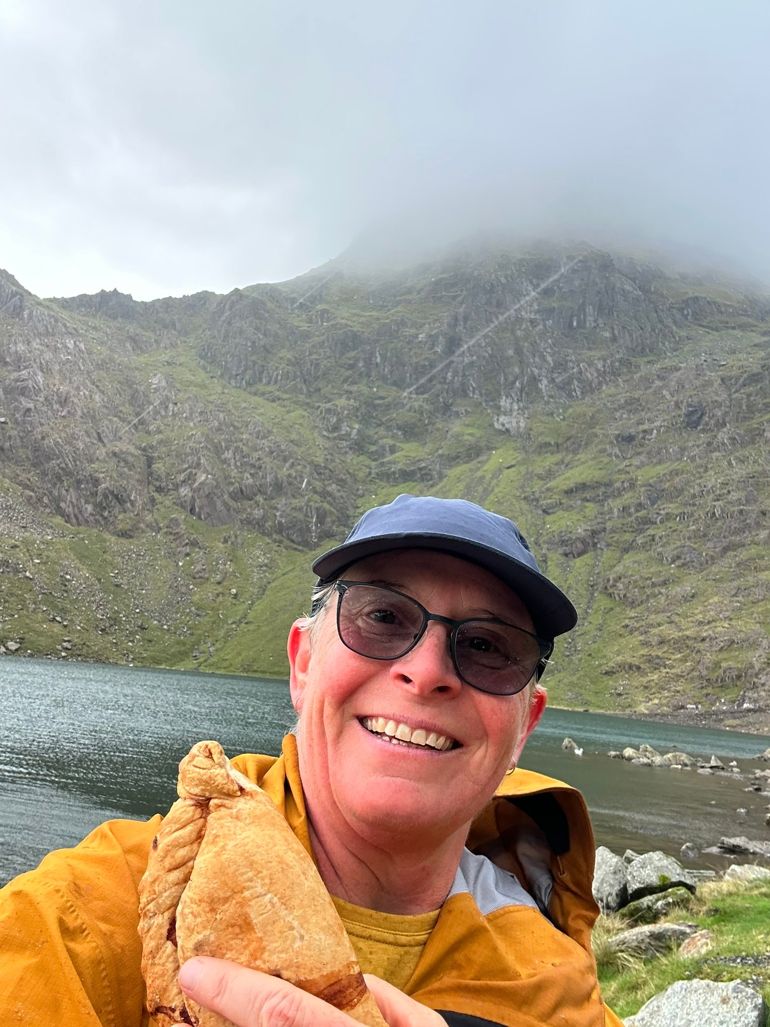
IMG_9552
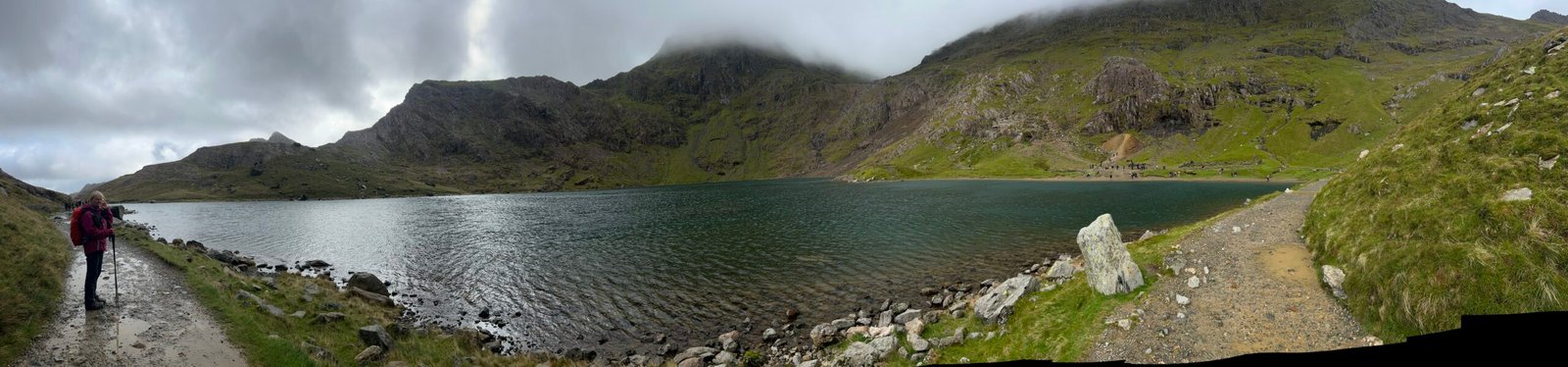
IMG_9557
3×3 Peaks Challenge – WALES
DAY 7 – CARNEDD LLEWELYN
This wasn't how the 3×3 Peaks Challenge was supposed to end.
We knew the weather wasn't going to be great. It was already raining when we set off and Carnedd Llewelyn looked dark, craggy and pretty ominous ahead of us.
I was still fighting off my cold and knew almost immediately that this was going to be hard. Even on the gentler climbs I was struggling with my breathing. At one point Jayne reminded me that if my body was telling me to stop, we had to stop. That brought a few tears – because for the first time I genuinely wondered whether I could do it.
But I'm nothing if not determined, and we plodded on...
Through bog, streams, wet grass and ferns, then increasingly rocky ground, we reached the scrambling section of our planned route. The poles were packed away so we could scramble up the bigger rocks, and then came the gully.
I'd seen it from a distance and it made me gulp. Up close it was steep, narrow, with really deep steps and, of course, slippy – it was raining after all. Jayne was worried, so she sent me up! Partway up it became obvious that getting up it was one thing, but safely getting back down it was another.
So now we had a dilemma. From where we were, that gully was the only footpath route to the summit. We decided to get back down off the boulders and have a think.
Partway down we stopped, looked around and checked the map. The summit was actually straight across the valley in front of us. The terrain looked fairly soft and not too craggy – steep, but doable – and it was across open access land, so although there was no specific footpath, we could cross.
Off we went through more boggy ground, quite a few sheep and plenty more rocks. We kept a close eye on the map, picking out distinctive rocks to aim for and keep us on track.
Eventually we climbed into the cloud and spotted someone walking through the mist above us.
We'd made it. We were on the ridge.
From here it was just a couple of miles to the summit and we thought the hardest bit was behind us.
Oh, how wrong we were.
Within about ten minutes, everything changed. The wind became ferocious. We battled onwards as the gusts became more frequent and much stronger. We were barely moving against it and having to brace ourselves every time another gust hit.
Then one caught Jayne and blew her three big steps sideways towards the edge.
Nope. That's it. That's enough.
With Carnedd Llewelyn's summit roughly another mile away and just 53 metres higher, we made the painful and frustrating decision to turn around.
On the way back along the ridge we were both blown off our feet. Visibility deteriorated until the landmarks we'd picked out earlier disappeared completely into the clag, so we were back to the map and GPS to navigate our way down.
I'd hoped the wind would die down as we descended from the ridge. No such luck. It kept blowing at full force until we were well back into the valley. By then we were soaked through, my boots were full of water and all I wanted was to get safely back to the car.
And somewhere on that descent, the disappointment really started to hit me.
I cried. A lot.
After eight summits, hundreds of miles of training and three weekends in England, Scotland and Wales, we'd got to within one mile and 53 vertical metres of summit number nine.
But I don't regret turning around. Up on that ridge it stopped being about determination and became about getting down safely.
The mountain will still be there another day.
So this isn't quite the ending I'd imagined for my 3×3 Peaks Challenge.
Carnedd Llewelyn, you and I have unfinished business. I'll be back.
DAY 7 – CARNEDD LLEWELYN
Distance: 6.19 mi / 9.96 km
Ascent: 1,117 m / 3,665 ft
Descent: 1,122 m / 3,681 ft
Time: 6:00:16
WALES WEEKEND TOTAL
Distance: 15.09 mi / 24.3 km
Ascent: 2,057 m / 6,749 ft
Descent: 2,065 m / 6,775 ft
Time on the mountains: 12:38:06
3×3 PEAKS CHALLENGE – GRAND TOTAL
8 of the 9 summits reached
Distance: 67.93 mi / 109.3 km
Ascent: 8,059 m / 26,441 ft
Descent: 8,048 m / 26,405 ft
Time on the mountains: 50:59:59
Three countries. Three weekends. Eight summits. Nearly 68 miles, over 8,000 metres of ascent and almost exactly 51 hours on the mountains.
Not quite the ending I planned – but one hell of a challenge.
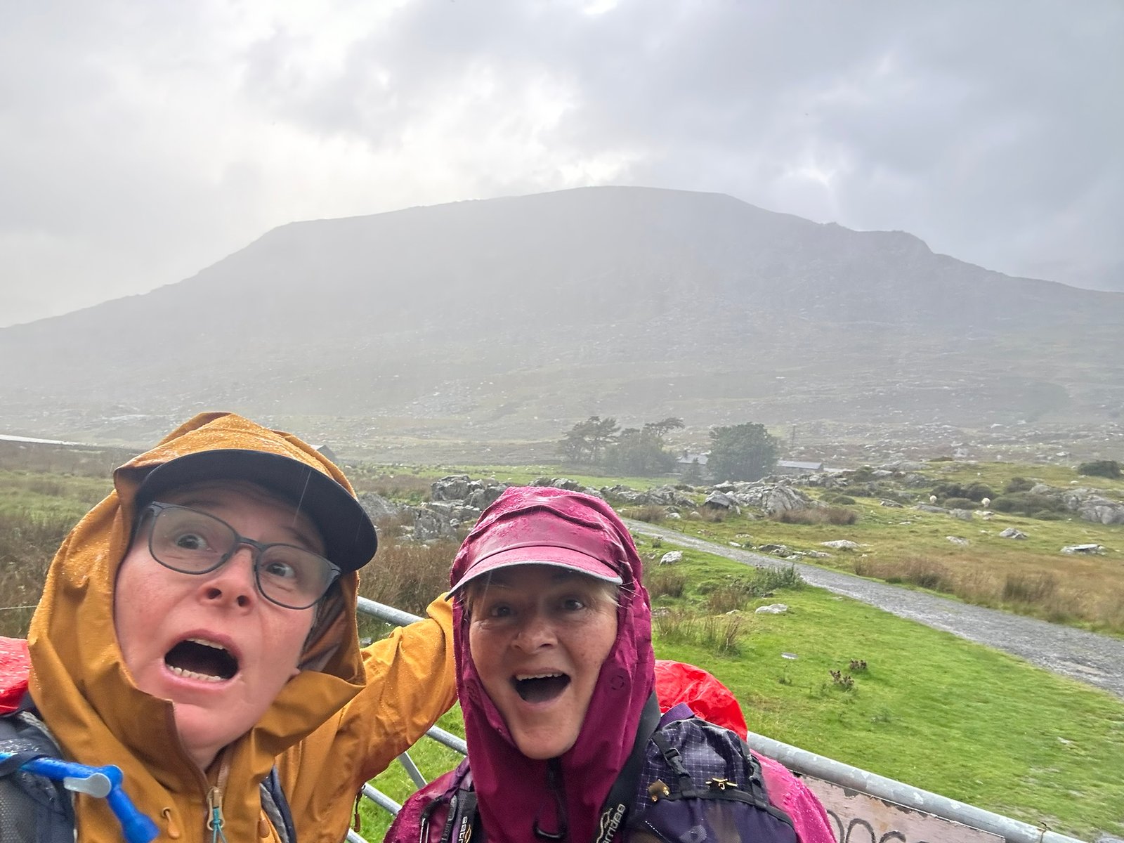
OMG We’re Going Up There!
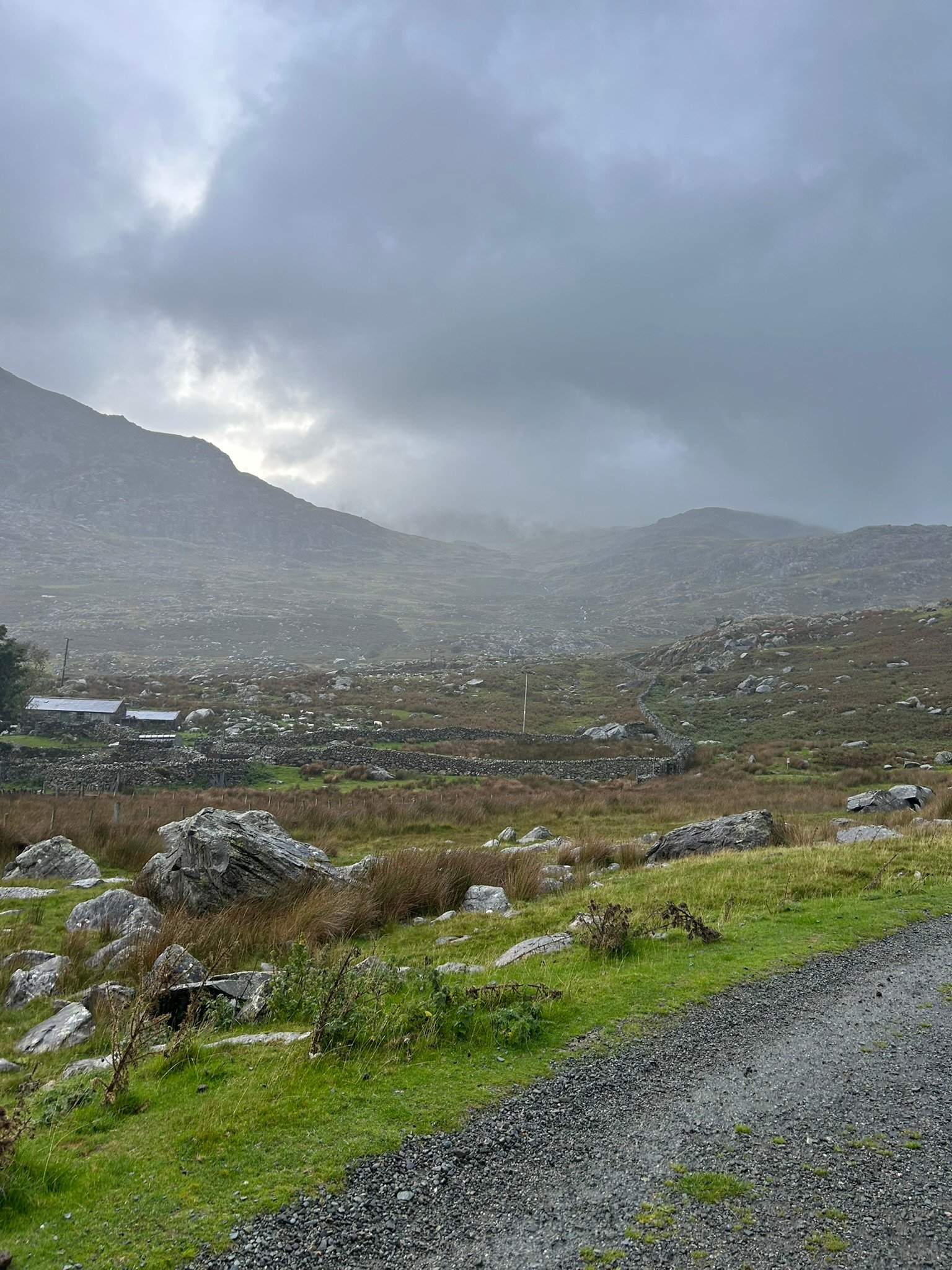
Getting Started
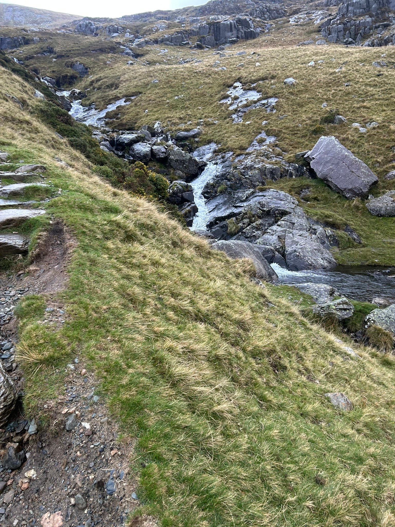
Crossing the Stream
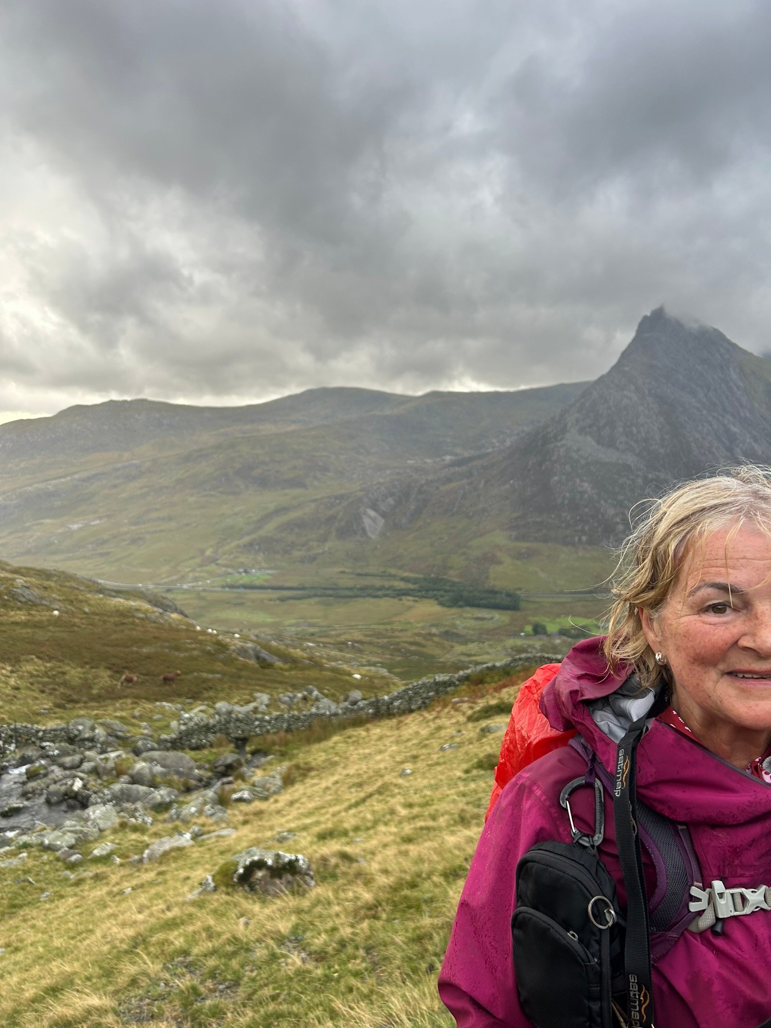
Good Views Early Doors
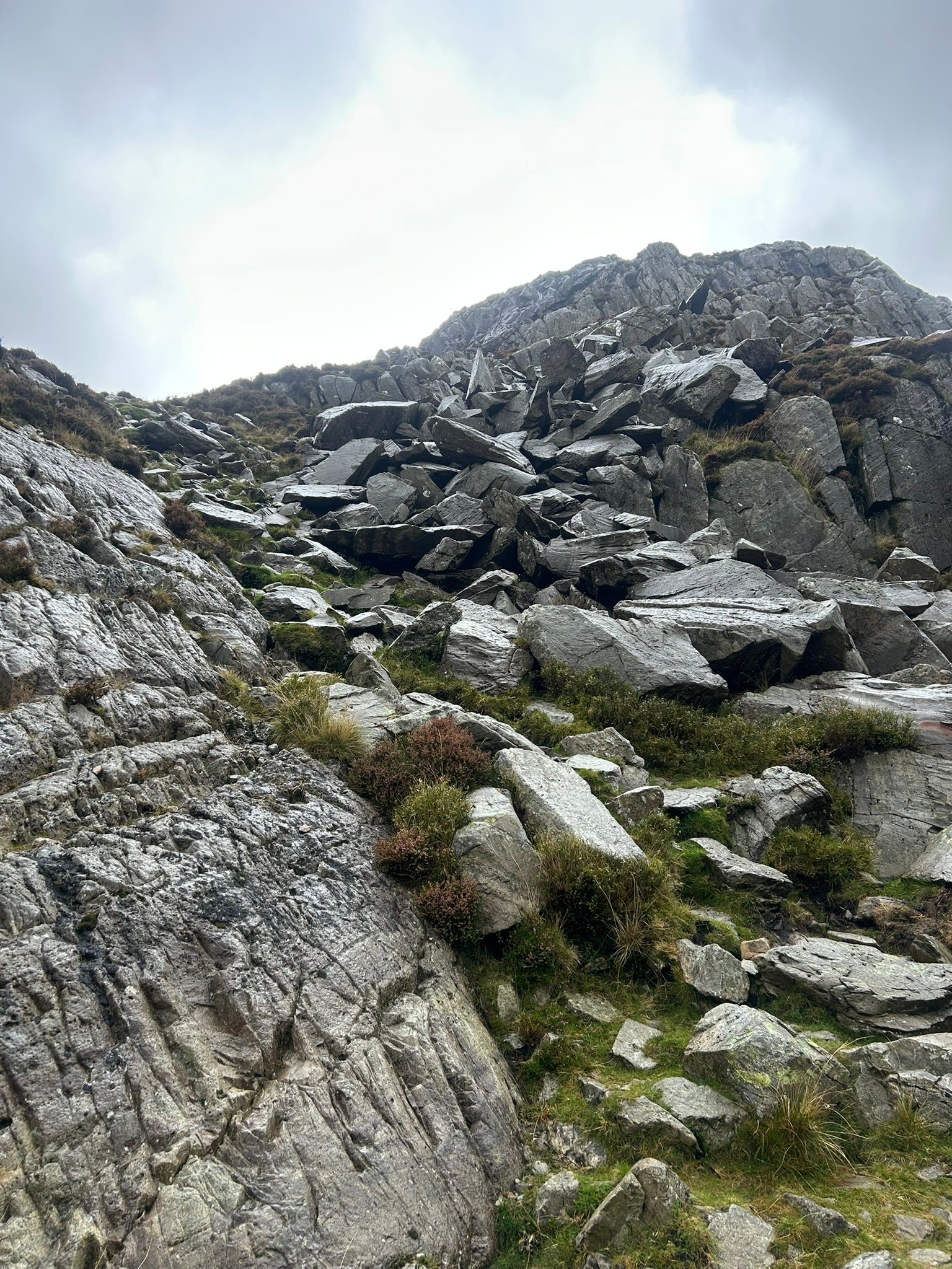
Start of the Boulders
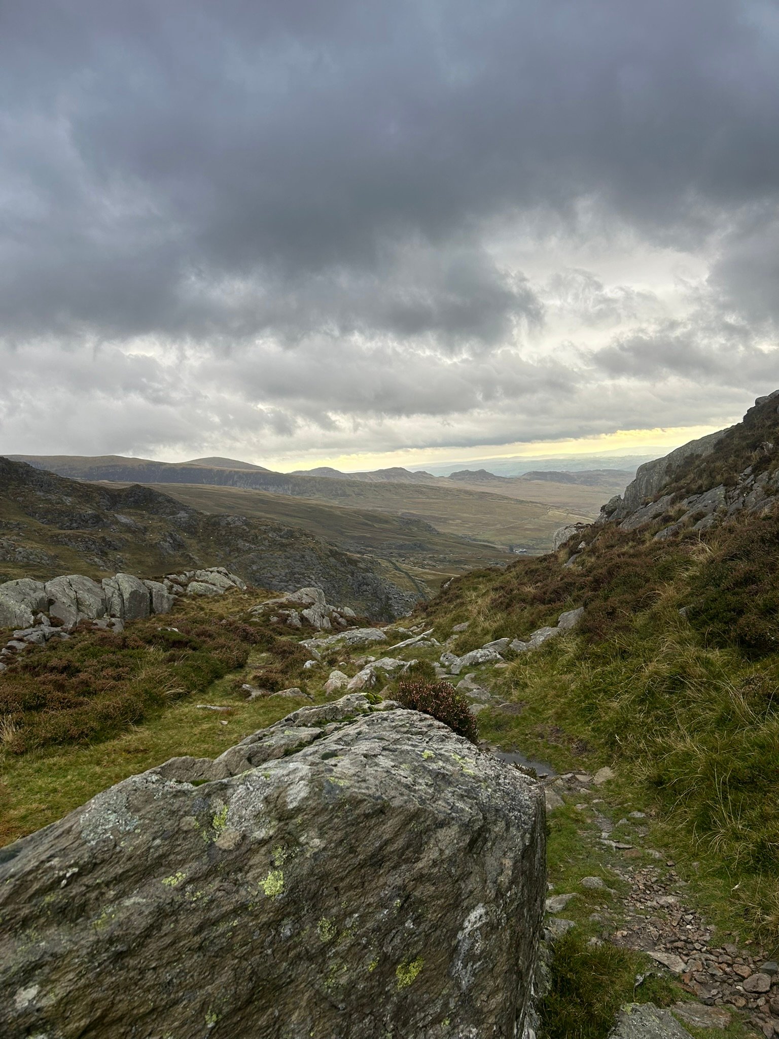
Another Great View
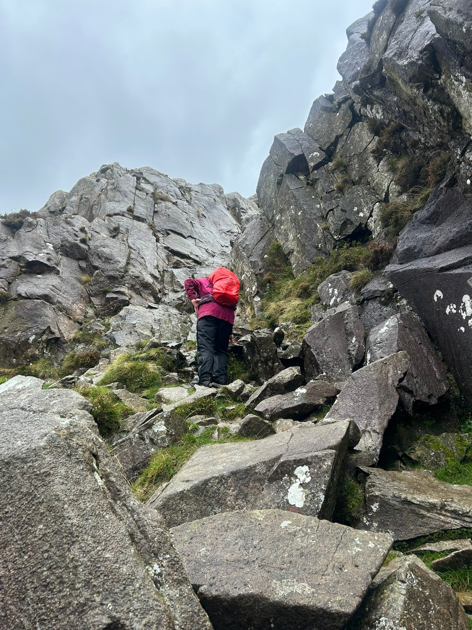
Jayne Assessing the Gully